Ross Creek
- 9.0 mi
- round trip
- 2,445 ft
- climb
- 9,475 ft
- high point
- Out and back
- route
Is Ross Creek open right now?
Closure in the area
There's a closure order in Humboldt-Toiyabe National Forest. It doesn't name Ross Creek, so check the source for the area it covers.
Elephant Fire Closure
Agency closure covering Humboldt-Toiyabe National Forest · Order 04-17-26-01-04 · USFS · Humboldt-Toiyabe National Forest
Road Closure for Construction Work (Mountain City-Ruby Mountains-Jarbidge Ranger District)
Agency alert covering Mountain City-Ruby Mountains-Jarbidge Ranger District · Order 04-17-26-06-04 · USFS · Mountain City-Ruby Mountains-Jarbidge Ranger District
Area, Road, and Trail Closures (Spring Mountains National Recreation Area)
Agency alert covering Humboldt-Toiyabe National Forest · Order 04-17-25-04 · USFS · Humboldt-Toiyabe National Forest
Year-Round Fire Restrictions (Spring Mountains National Recreation Area)
Agency alert covering Humboldt-Toiyabe National Forest · Order 04-17-24-01 · USFS · Humboldt-Toiyabe National Forest
Vehicle Snow Chain Requirements during Inclement Weather (Spring Mountains National Recreation Area)
Agency alert covering Humboldt-Toiyabe National Forest · Order 04-17-23-01 · USFS · Humboldt-Toiyabe National Forest
As of · Source: USFS · Humboldt-Toiyabe National Forest. Agencies don't list every closure — check before you go.
Ross Creek is a hard hike of about 9 miles on natural surface in the Mountain City-Ruby Mountains-Jarbidge Ranger District of Humboldt-Toiyabe National Forest in northeastern Nevada, managed by the Forest Service. The route is out and back, with a low point of about 6,378 feet and a high of about 9,475 feet, and the climb totals about 2,445 feet one way. Horses are allowed on this trail, and bikes are not. The trail's natural surface makes it suitable for horseback riding rather than for mountain biking. The Ross hike starts just 0.1 mile away, and Secret Peak is about half a mile off. Ross Cutoff and the Lamoille-Gardner Creek trailhead are each within 2 miles.
- RossHiking0.1 mi
- Secret PeakHiking0.5 mi
- Ross CutoffHiking1.8 mi
- Lamoille-Gardner Creek THHiking1.9 mi
- Soldier BasinHiking2.3 mi
 Gardner Creek LoopMountain bikingPhoto: Scott Thompson, CC BY 3.0 (via Wikimedia Commons)2.7 mi
- Secret CreekCanoeing5.9 mi
- Lamoille CreekCanoeing8.5 mi
Source: Roamze catalog (indexable pages within 10 miles, PostGIS distance)
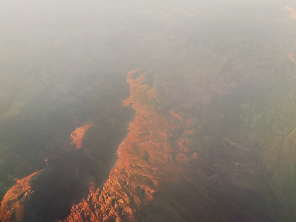 Robinson LakeHiking · ~9 min drivePhoto: Ken Lund, CC BY-SA 2.0 (via Flickr)
- Secret PeakHiking · Next door
- Upper Sharps CanyonHiking · ~7 min drive
- Middle Fork Cold CreekHiking · ~9 min drive
- Ross CutoffHiking · ~3 min drive
- Lamoille-Gardner Creek THHiking · ~3 min drive
- Krenka 1Hiking · ~7 min drive
- Joe Billy Basin TrailHiking · ~10 min drive
- Gardner 5Hiking · ~5 min drive
- Devils SlideHiking · ~5 min drive

