Petroglyph Trail
 Photo: Ken Lund, CC BY-SA 2.0 (via Flickr)
- 0.5 mi
- round trip
- 40 ft
- climb
- 3,983 ft
- high point
- Out and back
- route
- Apr–May, Sep–Oct
- best months
Petroglyph Trail is a short, easy hike on Bureau of Reclamation land in Nevada, about half a mile long and with a total elevation gain of about 40 feet. It is an out-and-back route, starting and ending at the Grimes Point Trailhead, and it rises from about 3,941 feet to about 3,983 feet. Spring and fall are the most comfortable times to go. Typical averages from a nearby weather station at Fallon show May highs around 76°F and October highs around 71°F, while July averages about 96°F and January highs sit near 47°F. The trail is on natural surface, and the Bureau of Reclamation manages the land. Bikes and horses are not allowed here. Overlook Trail lies just 0.1 mile away, and Hidden Cave Loop Trail is about a mile off. NAS Fallon Wetlands Nature Trail is roughly 5.7 miles away.
- Overlook TrailHikingPhoto: Ken Lund, CC BY-SA 2.0 (via Flickr)0.1 mi
 Hidden Cave Loop TrailHikingPhoto: nonbinaryanalog, CC BY-SA 2.0 (via Flickr)1.1 mi
- NAS Fallon Wetlands Nature TrailHiking5.7 mi
Source: Roamze catalog (indexable pages within 10 miles, PostGIS distance)
- Overlook TrailHiking · Next doorPhoto: Ken Lund, CC BY-SA 2.0 (via Flickr)
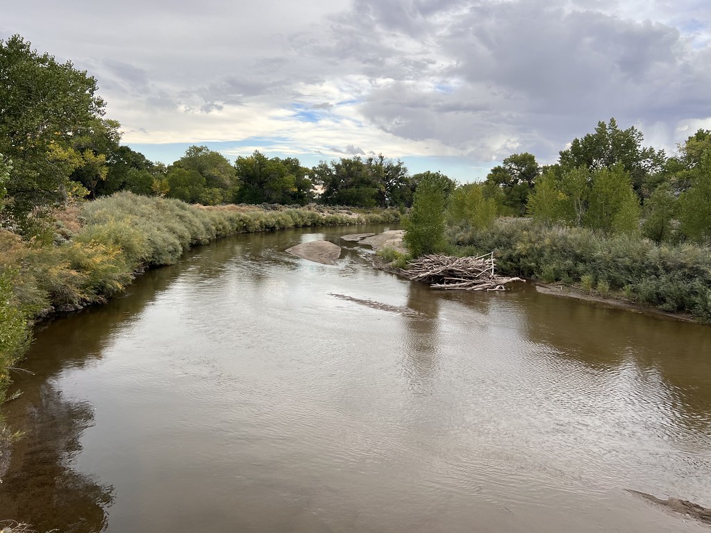 Simpson RoadHiking · ~56 min drivePhoto: Ken Lund, CC BY-SA 2.0 (via Flickr)
- California Emigrant Trail (Truckee River Route)Hiking · ~33 min drive
- Buffalo Canyon RoadHiking · ~1h 24m drive
- Hidden Cave Loop TrailHiking · ~2 min drivePhoto: nonbinaryanalog, CC BY-SA 2.0 (via Flickr)
- Pony Express RouteHiking · ~19 min drive
- Government TrailHiking · ~40 min drive
 Orchard Interpretive TrailHiking · ~59 min drivePhoto: Sean Foster, CC BY 3.0 (via Wikimedia Commons)
- California Emigrant Trail (Truckee River Route)Hiking · ~56 min drive
- California Emigrant Trail (Truckee River Route)Hiking · ~56 min drive
Best time to visit Petroglyph Trail
Best months: April–May and September–October. Best months have typical highs of 55–85 °F, lows of 30 °F or warmer (32 °F where the station doesn't record snow), at most one snowy day and no more than 12 wet days.
Jan
47° / 22°
6 wet
Feb
53° / 25°
5 wet
Mar
61° / 31°
4 wet
Apr
67° / 35°
4 wet
May
76° / 44°
5 wet
Jun
87° / 51°
3 wet
Jul
96° / 58°
2 wet
Aug
94° / 55°
1 wet
Sep
85° / 48°
2 wet
Oct
71° / 36°
3 wet
Nov
56° / 26°
4 wet
Dec
46° / 20°
5 wet
Typical high / low (°F) and days with rain or snow, 1991–2020. Measured at Fallon Naas, NV, 3.9 mi away at 3,934 ft. This station doesn't record snowfall. Source: NOAA NCEI U.S. Climate Normals 1991–2020.

