California Emigrant Trail (Truckee River Route)
- 4.6 mi
- round trip
- 438 ft
- climb
- 4,110 ft
- high point
- Out and back
- route
- Apr–Jun, Sep–Oct
- best months
Clear at last check
Weather is good · OpenWeather · checked 13 h ago
The California Emigrant Trail (Truckee River Route) is a 9.1-mile out-and-back hike in Nevada, about 3 miles from the town of Argo. The trail starts at an elevation of 4,110 feet and reaches a high point of 4,110 feet, so the route is essentially flat with a small climb of 178 feet one way. The total gain and loss over the round trip are each about 438 feet, and the steepest stretch comes at about 0.75 miles in, with a grade of 7 percent. The most comfortable months for a visit are late spring and early fall. Typical averages from a nearby weather station at Wadsworth put May highs around 74°F and September highs around 84°F, while July averages a high of 95°F and January highs sit near 46°F. The hike takes about 3.5 hours to complete.
 Headgate TrailHiking · ~30 min drivePhoto: Ken Lund, CC BY-SA 2.0 (via Flickr)
 Vista TrailHiking · ~42 min drivePhoto: BLM Nevada, CC BY 2.0 (via Wikimedia Commons)
 Highland LoopHiking · ~51 min drivePhoto: Mitch Barrie from Reno, NV, USA, CC BY-SA 2.0 (via Wikimedia Commons)
 Tahoe-Pyramid TrailHiking · ~32 min drivePhoto: Ken Lund from Reno, Nevada, USA, CC BY-SA 2.0 (via Wikimedia Commons)
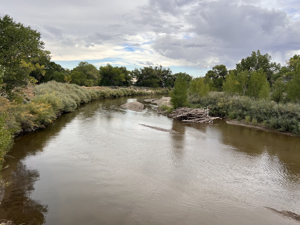 Simpson RoadHiking · ~42 min drivePhoto: Ken Lund, CC BY-SA 2.0 (via Flickr)
 Highland LoopHiking · ~52 min drivePhoto: Mitch Barrie from Reno, NV, USA, CC BY-SA 2.0 (via Wikimedia Commons)
 Buckland LoopHiking · ~42 min drivePhoto: Sean Foster, CC BY 3.0 (via Wikimedia Commons)
- California Emigrant Trail (Truckee River Route)Hiking · ~19 min drive
- California Emigrant Trail (Truckee River Route)Hiking · ~34 min drive
- Joseph Stewart Nature TrailHiking · ~42 min drivePhoto: Sean Foster, CC BY 3.0 (via Wikimedia Commons)
Best time to visit California Emigrant Trail (Truckee River Route)
Best months: April–June and September–October. Best months have typical highs of 55–85 °F, lows of 30 °F or warmer (32 °F where the station doesn't record snow), at most one snowy day and no more than 12 wet days.
Jan
46° / 20°
Feb
52° / 25°
Mar
60° / 29°
Apr
67° / 34°
May
74° / 42°
Jun
84° / 49°
Jul
95° / 58°
Aug
92° / 55°
Sep
84° / 44°
Oct
70° / 34°
Nov
57° / 24°
Dec
45° / 20°
Typical high / low (°F) and days with rain or snow, 1991–2020. Measured at Wadsworth 4 N, NV, 6.9 mi away at 4,000 ft. This station doesn't record snowfall. Source: NOAA NCEI U.S. Climate Normals 1991–2020.

Map and trail data © OpenStreetMap contributors
