Buffalo Canyon Road
- 10.4 mi
- round trip
- 2,932 ft
- climb
- 6,860 ft
- high point
- Out and back
- route
- Jun–Aug
- best months
Clear today
Weather is good · OpenWeather · checked 5 h ago
Buffalo Canyon Road is a 10.35-mile hike on Bureau of Land Management land in Nevada's Mount Lewis Field Office, part of the BLM's Nevada state office. The route is an out-and-back that climbs from a starting elevation of about 6,800 feet to a high point of 6,860 feet, then descends back to the same level, with a total of about 2,932 feet gained and lost over the round trip. The most challenging stretch comes early, at about 0.9 miles in, where the grade reaches roughly 9 percent. The trip takes about 8.5 hours, and the route is rated expert, so it suits experienced hikers ready for a long, steep day. The nearest town is the Mount Lewis Field Office itself, which serves as the base for planning and supplies. Summer and early fall are the most comfortable times to go. Typical averages from a nearby weather station at a similar elevation show July highs around 85°F and September highs around 76°F, with lows near 30 to 40°F. Winter is cold, with January highs around 42°F and lows near 11°F. Burnt Cabin Road lies about 3.7 miles away and makes a good add-on for anyone spending the day in the area.
Best time to go · Jun–Aug
Best time to visit Buffalo Canyon Road
Best months: June–August. Best months have typical highs of 55–85 °F, lows of 30 °F or warmer (32 °F where the station doesn't record snow), at most one snowy day and no more than 12 wet days.
Jan
42° / 11°
5 wet
Feb
45° / 14°
5 wet
Mar
51° / 20°
6 wet
Apr
57° / 23°
6 wet
May
65° / 30°
6 wet
Jun
76° / 35°
4 wet
Jul
85° / 41°
3 wet
Aug
83° / 39°
3 wet
Sep
76° / 31°
3 wet
Oct
64° / 22°
3 wet
Nov
51° / 15°
4 wet
Dec
42° / 10°
5 wet
Typical high / low (°F) and days with rain or snow, 1991–2020. Measured at Reese River Ione 13ne, NV, 21 mi away at 6,413 ft. This station doesn't record snowfall. Source: NOAA NCEI U.S. Climate Normals 1991–2020.
Keep exploring — more trails worth the drive
 Photo: Matt Lavin, CC BY-SA 2.0 (via Flickr)
Pony Express Station Trail
~29 min drive
1.36-mile lollipop trail in Nevada with 352 ft elevation gain
 Photo: Seth Tisue, CC BY-SA 2.0 (via Flickr)
Columbine
~48 min drive
Columbine is a 4.58-mile out-and-back trail in Nevada with 1,759 feet of elevation gain.
 Photo: Seth Tisue, CC BY-SA 2.0 (via Flickr)
North Twin River Cutoff
~51 min drive
5.95-mile loop in Nevada with 2,781 ft elevation gain and loss.
HIKE
South Fork Barrett Canyon Trail
~20 min drive
15.72-mile out-and-back trail in Nevada with 4,357 ft gain and 9,007 ft max elevation.
 Photo: Seth Tisue, CC BY-SA 2.0 (via Flickr)
Adt - Nevada - S - Seg 6
~35 min drive
1.89-mile out-and-back trail in Nevada with 58 ft gain.
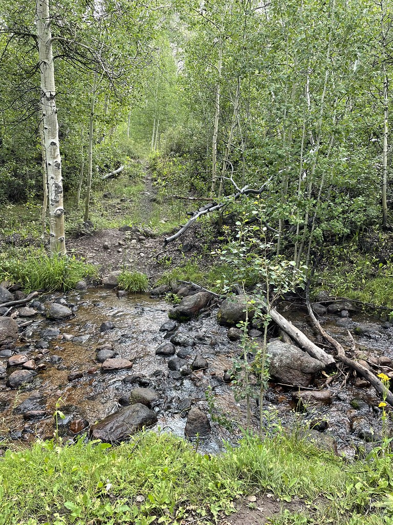 Photo: Seth Tisue, CC BY-SA 2.0 (via Flickr)
Stewart Creek
~48 min drive
5.20-mile out-and-back trail in Nevada with 1,544 ft elevation gain.
 Photo: Seth Tisue, CC BY-SA 2.0 (via Flickr)
Arc Dome Trail
~52 min drive
9.60-mile out-and-back hike in Nevada with 198 ft gain.
HIKE
TOIYABE CREST NATL REC TRAIL
~50 min drive
29.5-mile out-and-back trail in Nevada with 7,518 ft elevation gain
 Photo: Seth Tisue, CC BY-SA 2.0 (via Flickr)
Cemetery Trail
~35 min drive
Quick out-and-back cemetery walk in Nevada.
HIKE
Ione Road
~30 min drive
3.09-mile out-and-back trail in Nevada with 47 ft gain and 399 ft loss.
Map and trail data © OpenStreetMap contributors
