Big Rocks Wilderness Trail
- 4.2 mi
- round trip
- 988 ft
- climb
- 6,859 ft
- high point
- Out and back
- route
- Apr–Jun, Aug–Oct
- best months
Big Rocks Wilderness Trail is a 4.2-mile out-and-back hike on Bureau of Land Management land in Nevada's Caliente Field Office, about 30 miles from the town of Pioche. The trail rises from a low point of 5,871 feet to a high of 6,859 feet, with a total elevation gain of 988 feet, and is rated moderate. The route is on natural surface, and the Bureau of Land Management's records show that neither horses nor bikes are allowed on it. For comfortable weather, aim for late spring or early fall. Typical averages from the nearby Pioche weather station, which sits about 870 feet lower than the trail's high point, show May highs around 68°F and September highs around 77°F, with lows in the 40s. Summer runs warmer, with July highs near 86°F, and winter highs hover in the low 40s. The trail is open year-round, and the Bureau of Land Management manages the surrounding land.
- Nearby · Crystal Wash Petroglyphs Trail · Canyon Overlook Loop · Red Rhyolite Trail
Best time to go · Apr–Jun, Aug–Oct
Best time to visit Big Rocks Wilderness Trail
Best months: April–June and August–October. Best months have typical highs of 55–85 °F, lows of 30 °F or warmer (32 °F where the station doesn't record snow), at most one snowy day and no more than 12 wet days.
Jan
43° / 23°
5 wet
Feb
45° / 25°
6 wet
Mar
53° / 31°
5 wet
Apr
59° / 36°
4 wet
May
68° / 45°
4 wet
Jun
79° / 55°
3 wet
Jul
86° / 62°
4 wet
Aug
84° / 60°
5 wet
Sep
77° / 52°
4 wet
Oct
65° / 41°
4 wet
Nov
53° / 30°
3 wet
Dec
43° / 22°
4 wet
Typical high / low (°F) and days with rain or snow, 1991–2020. Measured at Pioche, NV, 31.1 mi away at 5,990 ft. The station sits about 900 ft lower than this place, so expect it a little cooler here. This station doesn't record snowfall. Source: NOAA NCEI U.S. Climate Normals 1991–2020.
Keep exploring — more trails worth the drive
 Photo: Ken Lund, CC BY-SA 2.0 (via Flickr)
Crystal Wash Petroglyphs Trail
~27 min drive
1.9-mile out-and-back hike with 162 ft elevation gain in Nevada
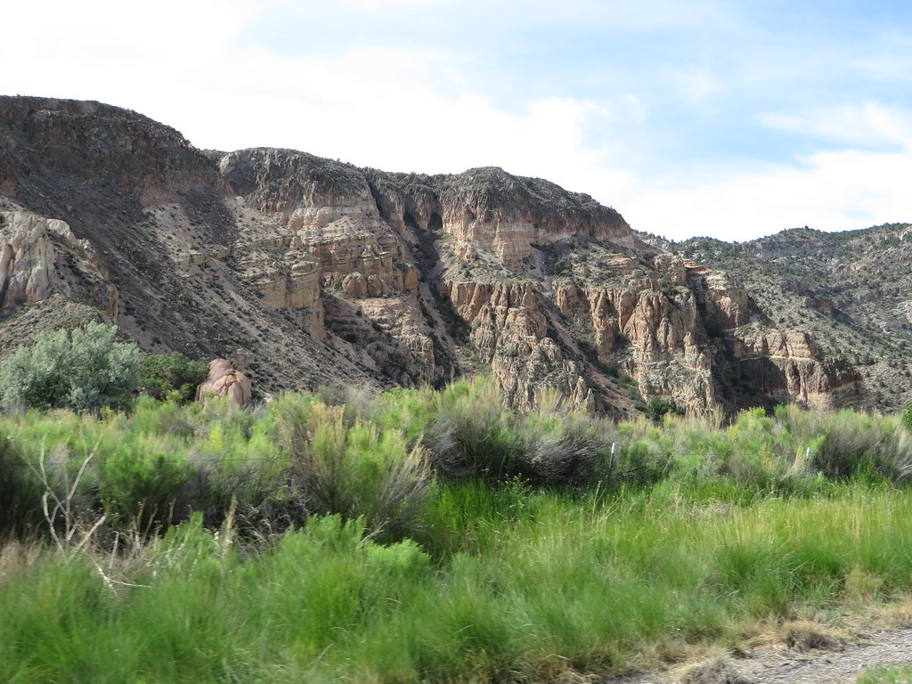 Photo: Ken Lund, CC BY-SA 2.0 (via Flickr)
Canyon Overlook Loop
~43 min drive
Easy out-and-back hike to canyon overlook views in Nevada.
HIKE
Red Rhyolite Trail
~26 min drive
14.3-mile out-and-back trail in Nevada with 1,450 ft gain/loss.
HIKE
Connector Trail
~44 min drive
18.02-mile out-and-back hike in Nevada with 4,435 ft elevation gain
Photo: Ken Lund, CC BY-SA 2.0 (via Flickr)Rainbow Rim
~43 min drive
Short out-and-back trail featuring colorful mineral-stained rock formations.
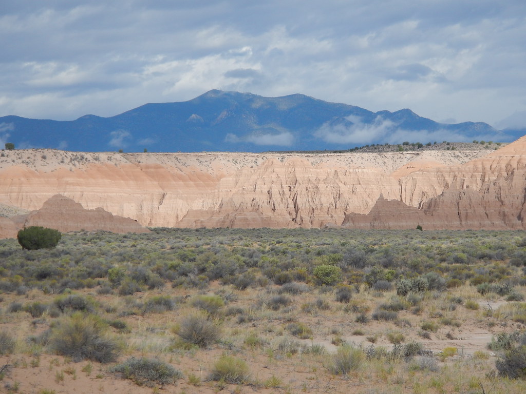 Photo: Matt Lavin, CC BY-SA 2.0 (via Flickr)
Juniper Draw Loop Trail
~52 min drive
2.67-mile out-and-back trail in Nevada with 239 ft elevation gain.
HIKE
Silver State Trail
~32 min drive
10-mile out-and-back trail in Nevada with 1,201 ft elevation gain/loss.
HIKE
Ella Mountain Trail
~45 min drive
43.42-mile out-and-back hike in Nevada with 3,249 ft gain/loss.
 Photo: Jon Gudorf Photography, CC BY-SA 2.0 (via Flickr)
Hawk's Ridge Trail
~51 min drive
4.92-mile out-and-back hike in Nevada with 686 ft elevation gain and loss.
 Photo: Matt Lavin, CC BY-SA 2.0 (via Flickr)
Nature Trail
~52 min drive
Moderate 6.97-mile out-and-back Nevada nature trail with scenic terrain.
