New Spring Trail
- 0.6 mi
- round trip
- 412 ft
- climb
- 9,189 ft
- high point
- Out and back
- route
Is NEW SPRING TRAIL open right now?
Closure in the area
There's a closure order in Ely Ranger District. It doesn't name NEW SPRING TRAIL, so check the source for the area it covers (2 listed).
Ward Fire Closure (Ely Ranger District)
Agency closure covering Ely Ranger District · Order 04-17-26-09-02 · USFS · Ely Ranger District
Elephant Fire Closure
Agency closure covering Humboldt-Toiyabe National Forest · Order 04-17-26-01-04 · USFS · Humboldt-Toiyabe National Forest
Area, Road, and Trail Closures (Spring Mountains National Recreation Area)
Agency alert covering Humboldt-Toiyabe National Forest · Order 04-17-25-04 · USFS · Humboldt-Toiyabe National Forest
Year-Round Fire Restrictions (Spring Mountains National Recreation Area)
Agency alert covering Humboldt-Toiyabe National Forest · Order 04-17-24-01 · USFS · Humboldt-Toiyabe National Forest
Vehicle Snow Chain Requirements during Inclement Weather (Spring Mountains National Recreation Area)
Agency alert covering Humboldt-Toiyabe National Forest · Order 04-17-23-01 · USFS · Humboldt-Toiyabe National Forest
As of · Source: USFS · Ely Ranger District. Agencies don't list every closure — check before you go.
New Spring Trail is a short, easy out-and-back hike in the Ely Ranger District of Nevada's Humboldt-Toiyabe National Forest, managed by the Forest Service. The trail is about 1.2 miles long, with a total elevation gain of 412 feet, and it starts and ends at about 9,189 feet, the high point of the route. The climb is rolling, and the steepest stretch comes at about half a mile in, with a grade of 14 percent. The trail is a quick outing, and the trip takes about half an hour. It works well as a short stop before or after exploring the surrounding area. Nearby, Pipeline Bypass Trail lies about 2 miles away, and Pipeline Canyon Trail and Gubler Canyon Trail are each about 3 miles off. For an overnight stay, Ward Mountain Campground is roughly 6.6 miles away.
- PIPELINE BYPASS TRAILHiking2.1 mi
- PIPELINE CANYON TRAILHiking3.2 mi
- GUBLER CANYON TRAILHiking3.2 mi
- SOUTH EAST WARD TRAILHiking4.5 mi
- PJ TRAILHiking4.6 mi
- Iceplant ConnectorHiking5 mi
- Ward Mountain CampgroundCamping6.6 mi
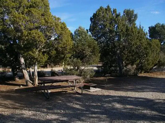 Ward Mtn. Campground (murray Summit)CampingPhoto: Recreation.gov (RIDB) / public domain6.8 mi
Source: Roamze catalog (indexable pages within 10 miles, PostGIS distance)
 Campground Ovens TrailHiking · ~12 min drivePhoto: Seth Tisue, CC BY-SA 2.0 (via Flickr)
- North GallagherHiking · ~10 min drive
- Ice Plant CanyonHiking · ~13 min drive
- Ridgeline LoopHiking · ~12 min drivePhoto: Seth Tisue, CC BY-SA 2.0 (via Flickr)
- South GallagherHiking · ~10 min drive
- Cave Valley RoadHiking · ~11 min drive
- Riparian LoopHiking · ~12 min drivePhoto: Seth Tisue, CC BY-SA 2.0 (via Flickr)
- Ward Loop L TrailHiking · ~10 min drive
- PIPELINE BYPASS TRAILHiking · ~4 min drive
- Ward Loop G TrailHiking · ~10 min drive
Also worth it near here
 Ward MountainSummit · ~3 min drivePhoto: G. Thomas at English Wikipedia, Public domain (via Wikimedia Commons)
- Ward Mtn. Campground (murray Summit)Camping · ~12 min drive
 Ward Loop FMountain biking · ~12 min drivePhoto: Chris M Morris, CC BY 2.0 (via Wikimedia Commons)
- Comins LakeLake fishing · ~13 min drive
