Cave Valley Road
- 8.3 mi
- round trip
- 267 ft
- climb
- 6,921 ft
- high point
- Out and back
- route
- May–Sep
- best months
Caution today
Weather is marginal · OpenWeather · checked just now
Cave Valley Road is a long, hard out-and-back hike on Bureau of Land Management land in Nevada's Bristlecone Field Office, about 8 miles from the nearest town. The route runs roughly 16.6 miles from start to finish, with a one-way elevation gain of about 270 feet, from a low of about 6,669 feet to a high of about 6,921 feet. The whole trip is rated hard, so plan for a full day on foot. For the most comfortable conditions, aim for late spring or early fall. Typical averages from the nearby Ruth weather station show May highs around 64°F and September highs around 75°F, while summer peaks in the low 80s and winter brings frequent snow days and lows near zero. Several other trails sit close by. Adt - Nevada - S - Seg 1 is less than a mile away, and South Gallagher and North Gallagher are each about 2.3 miles off. For an overnight base, Ward Mountain Campground is roughly 8.5 miles away.
- Adt - Nevada - S - Seg 1Hiking0.9 mi
- South GallagherHiking2.3 mi
- North GallagherHiking2.3 mi
- PJ TRAILHiking2.7 mi
- SOUTH EAST WARD TRAILHiking3 mi
- Square TopRock climbing7 mi
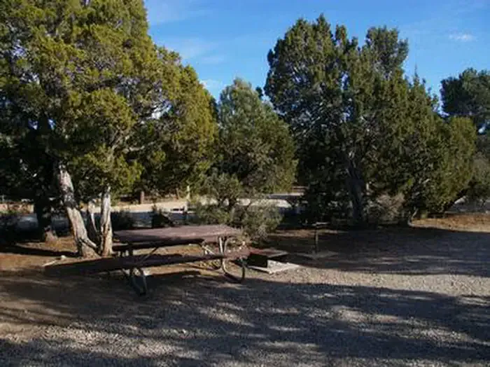 Ward Mtn. Campground (murray Summit)CampingPhoto: Recreation.gov (RIDB) / public domain8.4 mi
- Ward Mountain CampgroundCamping8.5 mi
Source: Roamze catalog (indexable pages within 10 miles, PostGIS distance)
 Campground Ovens TrailHiking · ~14 min drivePhoto: Seth Tisue, CC BY-SA 2.0 (via Flickr)
- North GallagherHiking · ~4 min drive
- Ice Plant CanyonHiking · ~10 min drive
- Riparian LoopHiking · ~14 min drivePhoto: Seth Tisue, CC BY-SA 2.0 (via Flickr)
- OLD DIG TRAILHiking · ~8 min drive
- Squaw Peak Hill ClimbHiking · ~15 min drive
- Ridgeline LoopHiking · ~14 min drivePhoto: Seth Tisue, CC BY-SA 2.0 (via Flickr)
- THE NARROWS TRAILHiking · ~9 min drive
- West Square TopHiking · ~13 min drive
- Adt - Nevada - S - Seg 1Hiking · ~2 min drive
Also worth it near here
Best time to visit Cave Valley Road
Best months: May–September. Best months have typical highs of 55–85 °F, lows of 30 °F or warmer (32 °F where the station doesn't record snow), at most one snowy day and no more than 12 wet days.
Jan
38° / 9°
6 wet · 6 snow
Feb
40° / 12°
6 wet · 5 snow
Mar
47° / 19°
7 wet · 5 snow
Apr
54° / 24°
7 wet · 3 snow
May
64° / 32°
7 wet · 1 snow
Jun
76° / 40°
5 wet
Jul
84° / 47°
5 wet
Aug
82° / 46°
6 wet
Sep
75° / 36°
5 wet
Oct
61° / 25°
4 wet · 1 snow
Nov
47° / 16°
5 wet · 3 snow
Dec
37° / 7°
6 wet · 5 snow
Typical high / low (°F) and days with rain or snow, 1991–2020. Measured at Ruth, NV, 12 mi away at 6,858 ft. Source: NOAA NCEI U.S. Climate Normals 1991–2020.


Map and trail data © OpenStreetMap contributors
