Mining Entry Trail Spur A
- 1.4 mi
- loop
- 609 ft
- climb
- 5,497 ft
- high point
- Loop
- route
Is Mining Entry Trail Spur A open right now?
Closure in the area
There's a closure order in Humboldt-Toiyabe National Forest. It doesn't name Mining Entry Trail Spur A, so check the source for the area it covers.
Elephant Fire Closure
Agency closure covering Humboldt-Toiyabe National Forest · Order 04-17-26-01-04 · USFS · Humboldt-Toiyabe National Forest
Area, Road, and Trail Closures (Spring Mountains National Recreation Area)
Agency alert covering Humboldt-Toiyabe National Forest · Order 04-17-25-04 · USFS · Humboldt-Toiyabe National Forest
Year-Round Fire Restrictions (Spring Mountains National Recreation Area)
Agency alert covering Humboldt-Toiyabe National Forest · Order 04-17-24-01 · USFS · Humboldt-Toiyabe National Forest
Vehicle Snow Chain Requirements during Inclement Weather (Spring Mountains National Recreation Area)
Agency alert covering Humboldt-Toiyabe National Forest · Order 04-17-23-01 · USFS · Humboldt-Toiyabe National Forest
Rainbow Canyon Flood Diversion Structure Closure (Spring Mountains National Recreation Area)
Agency alert covering Humboldt-Toiyabe National Forest · Order 04-17-15-01 · USFS · Humboldt-Toiyabe National Forest
As of · Source: USFS · Humboldt-Toiyabe National Forest. Agencies don't list every closure — check before you go.
Mining Entry Trail Spur A is a short, easy loop hike in Nevada's Spring Mountains National Recreation Area, part of the Humboldt-Toiyabe National Forest. The Forest Service manages the land, and the trail sits about 1.4 miles long with a total climb of 609 feet, making it a low-effort outing for a day on the mountain. The route is a loop that starts and ends at nearly the same elevation, around 5,118 feet. The climb is front-loaded, with the steepest stretch at about 0.96 miles in, where the grade reaches 17%. The high point on the loop is about 5,497 feet. Spur C lies just 0.1 mile away, and Spur D and Spur G are each about half a mile off. For a longer outing, Horseshutem Springs Loop is roughly 5 miles away.
- Mining Entry Trail Spur CHiking0.1 mi
- Mining Entry Trail Spur DHiking0.5 mi
- MINING ENTRY TRAIL SPUR GHiking0.5 mi
- HORSESHUTEM SPRINGS LOOPHiking4.9 mi
Source: Roamze catalog (indexable pages within 10 miles, PostGIS distance)
 SHORTAWN FOXTAIL TRAILHiking · ~26 min drivePhoto: Ken Lund, CC BY-SA 2.0 (via Flickr)
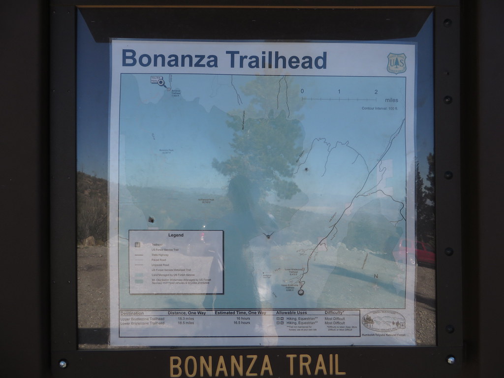 Bonanza TrailHiking · ~27 min drivePhoto: Ken Lund — CC BY-SA 2.0 (via Flickr)
 Arrowleaf TrailHiking · ~27 min drivePhoto: Ken Lund, CC BY-SA 2.0 (via Flickr)
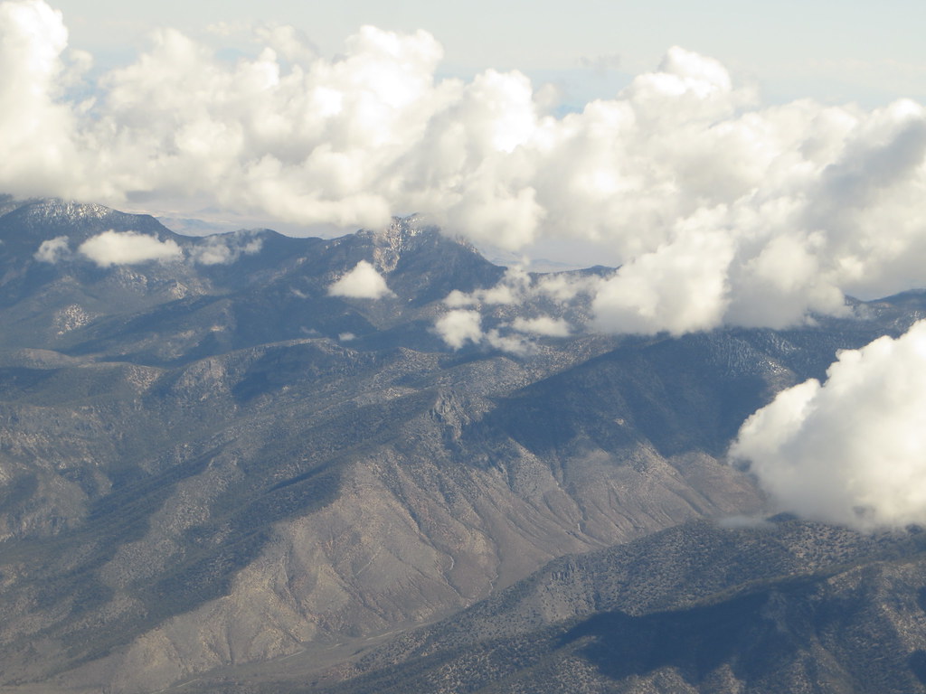 Charleston Peak Trail South LoopHiking · ~39 min drivePhoto: Ken Lund, CC BY-SA 2.0 (via Flickr)
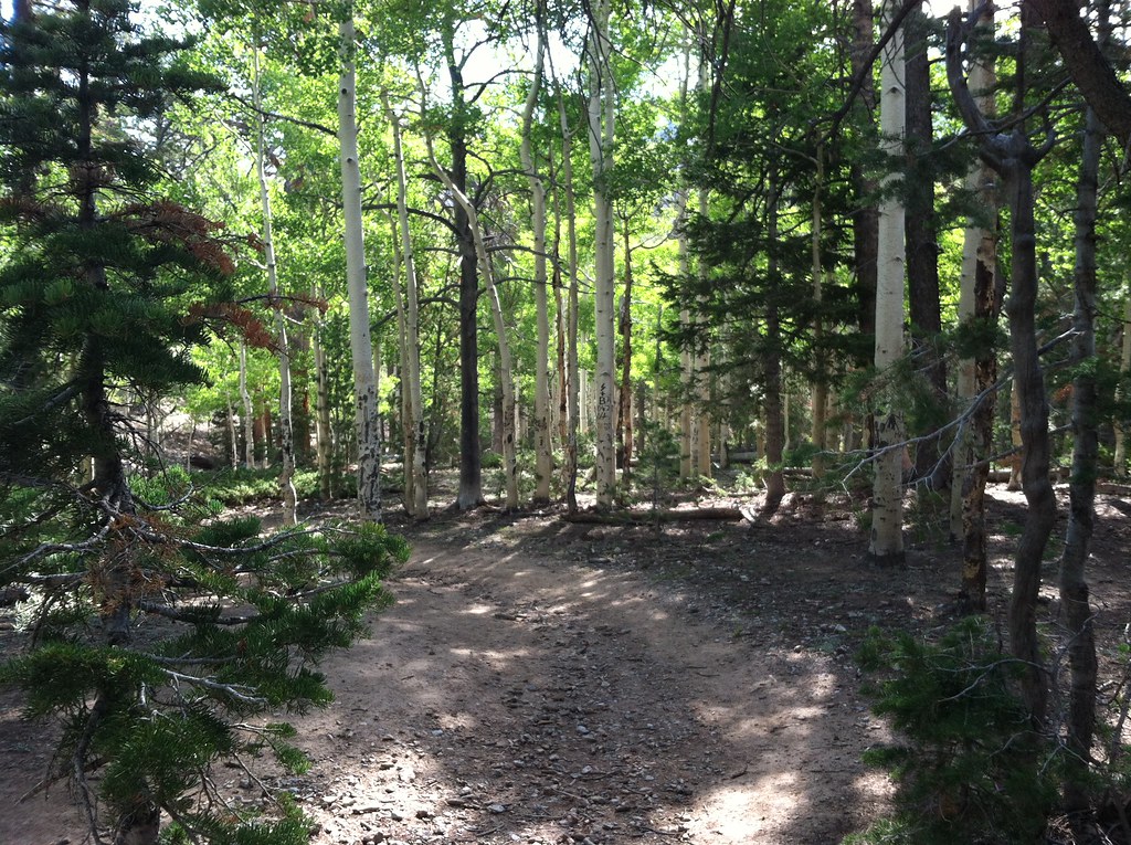 BonanzaHiking · ~35 min drivePhoto: BLM Nevada, CC BY 2.0 (via Flickr)
 BristleconeHiking · ~37 min drivePhoto: Ken Lund, CC BY-SA 2.0 (via Flickr)
- Green TrailHiking · ~37 min drivePhoto: Ken Lund, CC BY-SA 2.0 (via Flickr)
 Crystal Springs BoardwalkHiking · ~35 min drivePhoto: cm195902, CC BY 2.0 (via Flickr)
 North LoopHiking · ~41 min drivePhoto: bahniuk, CC BY 3.0 (via Wikimedia Commons)
 North Camp LoopHiking · ~40 min drivePhoto: bahniuk, CC BY 3.0 (via Wikimedia Commons)
Map and trail data © OpenStreetMap contributors
