Lower Sharps Canyon
- 2.8 mi
- round trip
- 760 ft
- climb
- 7,078 ft
- high point
- Out and back
- route
- May–Oct
- best months
Lower Sharps Canyon is a 2.8-mile out-and-back hike in Nevada's Forest Service lands, about 3.4 miles from the town of Arthur. The trail rises from 6,318 feet to 7,078 feet, a gain of 760 feet, and is rated easy. The route is a natural-surface trail that allows horses and is closed to bikes, according to Forest Service records. Summer is the most comfortable time to go. Typical averages from a nearby weather station show July highs around 84°F and lows near 50°F, while winter highs stay in the mid-30s. Other trails lie close by. Ruby Guard is about a mile away, and Upper Sharps Canyon and Ruby City 2 are both within about 1.3 miles. The Franklin River, about 7 miles off, offers canoeing.
Best time to go · May–Oct
Best time to visit Lower Sharps Canyon
Best months: May–October. Best months have typical highs of 55–85 °F, lows of 30 °F or warmer (32 °F where the station doesn't record snow), at most one snowy day and no more than 12 wet days.
Jan
36° / 16°
7 wet
Feb
39° / 18°
6 wet
Mar
48° / 25°
6 wet
Apr
54° / 30°
7 wet
May
64° / 37°
7 wet
Jun
74° / 43°
4 wet
Jul
84° / 50°
3 wet
Aug
83° / 48°
3 wet
Sep
74° / 41°
3 wet
Oct
61° / 32°
4 wet
Nov
46° / 22°
5 wet
Dec
35° / 16°
6 wet
Typical high / low (°F) and days with rain or snow, 1991–2020. Measured at Arthur 4nw, NV, 2.5 mi away at 6,250 ft. The station sits about 800 ft lower than this place, so expect it a little cooler here. This station doesn't record snowfall. Source: NOAA NCEI U.S. Climate Normals 1991–2020.
Keep exploring — more trails worth the drive
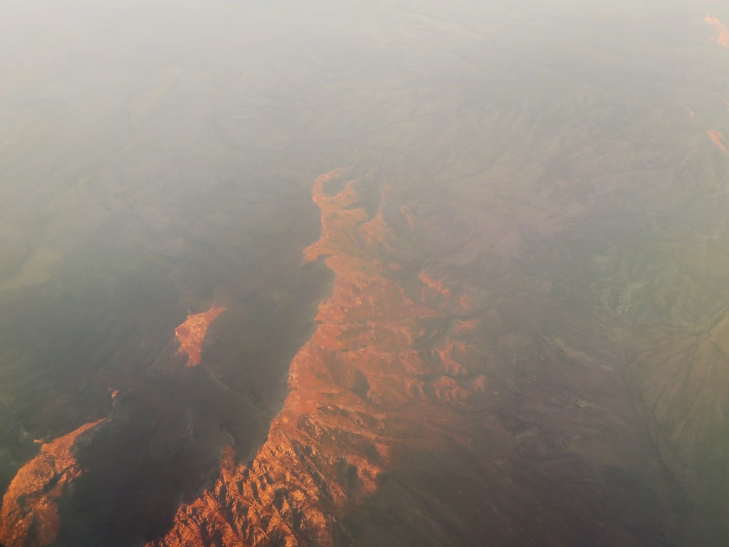 Photo: Ken Lund, CC BY-SA 2.0 (via Flickr)
Robinson Lake
~7 min drive
0.73-mile out-and-back trail to Robinson Lake in Nevada with 61 ft of elevation gain.
HIKE
Ruby Guard
~2 min drive
3.99-mile out-and-back trail in Nevada with 181 ft gain.
HIKE
Krenka Creek
~3 min drive
6.31-mile out-and-back trail in Nevada with 2,232 ft elevation gain.
HIKE
Soldier Basin
~9 min drive
9.10-mile out-and-back trail in Nevada with 2,253 ft elevation gain.
HIKE
Upper Sharps Canyon
~2 min drive
Upper Sharps Canyon is a 1.20-mile out-and-back trail in Nevada with 569 ft of elevation gain.
HIKE
Upper Sharps Canyon
~3 min drive
1.82-mile out-and-back trail in Nevada with 1,265 ft gain.
HIKE
Gardner Creek Loop
~6 min drive
6.17-mile out-and-back trail in Nevada with 1,610 ft elevation gain.
HIKE
Middle Fork Cold Creek
~10 min drive
10.30-mile out-and-back trail in Nevada with 2,187 ft elevation gain.
HIKE
Ruby City 2
~2 min drive
Ruby City 2 is a 1.02-mile out-and-back trail in Nevada with 303 feet of elevation gain.
HIKE
Krenka 1
~3 min drive
3.24-mile out-and-back trail in Nevada with 230 ft elevation gain.
Also worth it near here


