Mill
- 1.5 mi
- round trip
- 11 ft
- climb
- 9,010 ft
- high point
- Out and back
- route
Is Mill open right now?
Closure in the area
There's a closure order in Humboldt-Toiyabe National Forest. It doesn't name Mill, so check the source for the area it covers.
Elephant Fire Closure
Agency closure covering Humboldt-Toiyabe National Forest · Order 04-17-26-01-04 · USFS · Humboldt-Toiyabe National Forest
Road Closure for Construction Work (Mountain City-Ruby Mountains-Jarbidge Ranger Districts)
Agency alert covering Mountain City-Ruby Mountains-Jarbidge Ranger District · Order 04-17-26-06-04 · USFS · Mountain City-Ruby Mountains-Jarbidge Ranger District
Area, Road, and Trail Closures (Spring Mountains National Recreation Area)
Agency alert covering Humboldt-Toiyabe National Forest · Order 04-17-25-04 · USFS · Humboldt-Toiyabe National Forest
Year-Round Fire Restrictions (Spring Mountains National Recreation Area)
Agency alert covering Humboldt-Toiyabe National Forest · Order 04-17-24-01 · USFS · Humboldt-Toiyabe National Forest
Vehicle Snow Chain Requirements during Inclement Weather (Spring Mountains National Recreation Area)
Agency alert covering Humboldt-Toiyabe National Forest · Order 04-17-23-01 · USFS · Humboldt-Toiyabe National Forest
As of · Source: USFS · Humboldt-Toiyabe National Forest. Agencies don't list every closure — check before you go.
Mill is a short, easy hike in the Jarbidge Wilderness, part of the Mountain City-Ruby Mountains-Jarbidge Ranger District of the Humboldt-Toiyabe National Forest in northeastern Nevada. The Forest Service manages the land, and the trail is a natural-surface out-and-back that runs about 1.5 miles round trip, with a total elevation gain of about 11 feet. The route starts and ends at roughly 8,689 feet and reaches about 9,010 feet at its high point. The trail is rated easy, and horses are allowed. It makes a quick addition to a day spent exploring the surrounding wilderness. Fall Creek lies just 0.1 mile away, and Three Day Creek and Altitude Trail are both within about 2 miles. For an overnight stay, Sawmill Campground is about 4.2 miles off.
Keep exploring — more trails worth the drive
 Photo: Matt Lavin, CC BY-SA 2.0 (via Flickr)
Three Day Creek
~2 min drive
9.32-mile out-and-back trail in Nevada with 1,851 ft elevation gain.
 Photo: Matt Lavin, CC BY-SA 2.0 (via Flickr)
Altitude Trail
~4 min drive
3.45-mile out-and-back trail in Nevada with 753 ft elevation gain
 Photo: Matt Lavin, CC BY-SA 2.0 (via Flickr)
Jenny Creek
~5 min drive
8.06-mile out-and-back trail in Nevada with 2,862 ft elevation gain.
HIKE
Jack 5
~4 min drive
1.57-mile out-and-back trail in Nevada with 345 ft elevation gain.
 Photo: Matt Lavin, CC BY-SA 2.0 (via Flickr)
East Fork Jarbidge River
~3 min drive
32.72-mile out-and-back trail on East Fork Jarbidge River in Nevada
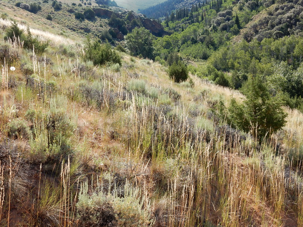 Photo: Matt Lavin, CC BY-SA 2.0 (via Flickr)
Jenny Creek
~7 min drive
A 3.85-mile out-and-back trail in Nevada that links to the Rollins Pass East trail system.
 Photo: Matt Lavin, CC BY-SA 2.0 (via Flickr)
Slide Creek
~9 min drive
11.74-mile out-and-back trail in Nevada with 2,234 ft elevation gain.
HIKE
Slide 1
~9 min drive
Slide 1 is a 1.75-mile out-and-back trail in Nevada with 218 feet of elevation gain.
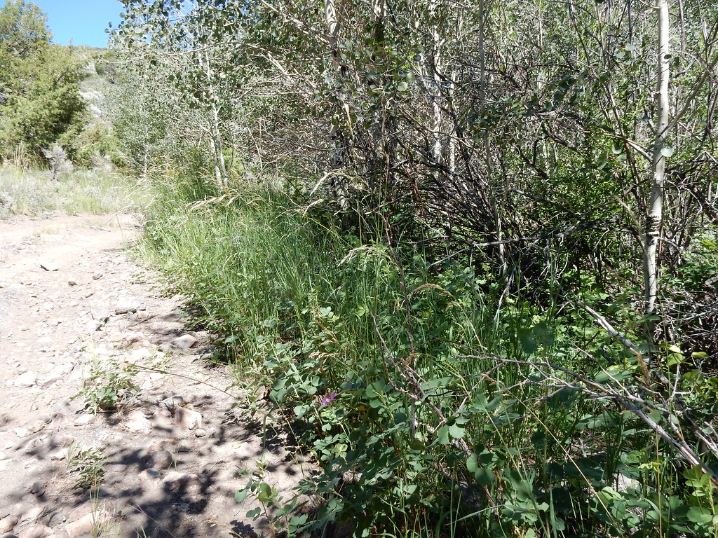 Photo: Matt Lavin, CC BY-SA 2.0 (via Flickr)
Jack Creek
~7 min drive
4.15-mile out-and-back trail on Jack Creek in Nevada with 1,338 ft gain.
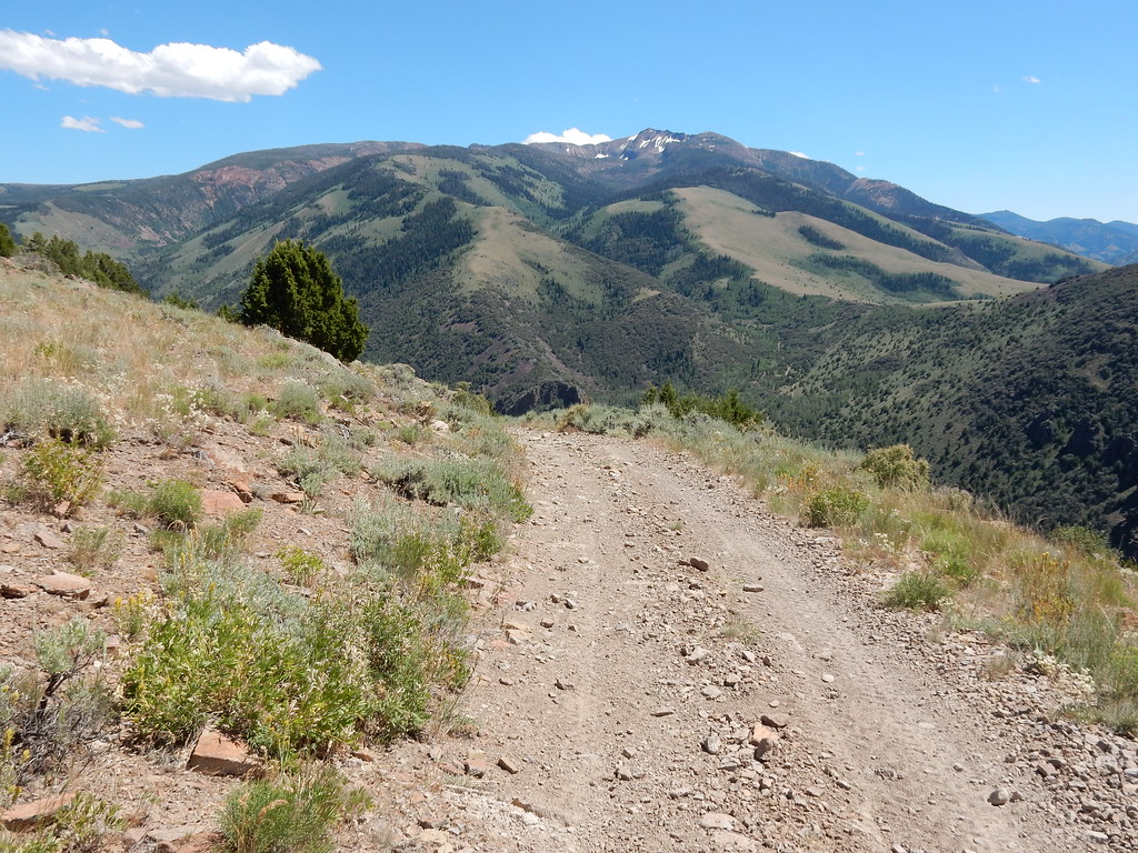 Photo: Matt Lavin, CC BY-SA 2.0 (via Flickr)
Clover Trail
~8 min drive
4.46-mile out-and-back trail in Nevada with 2,259 ft elevation gain.


