Hidden Lakes
- 2.3 mi
- round trip
- 452 ft
- climb
- 9,552 ft
- high point
- Out and back
- route
Is Hidden Lakes open right now?
Closure in the area
There's a closure order in Humboldt-Toiyabe National Forest. It doesn't name Hidden Lakes, so check the source for the area it covers.
Elephant Fire Closure
Agency closure covering Humboldt-Toiyabe National Forest · Order 04-17-26-01-04 · USFS · Humboldt-Toiyabe National Forest
Road Closure for Construction Work (Mountain City-Ruby Mountains-Jarbidge Ranger Districts)
Agency alert covering Mountain City-Ruby Mountains-Jarbidge Ranger District · Order 04-17-26-06-04 · USFS · Mountain City-Ruby Mountains-Jarbidge Ranger District
Area, Road, and Trail Closures (Spring Mountains National Recreation Area)
Agency alert covering Humboldt-Toiyabe National Forest · Order 04-17-25-04 · USFS · Humboldt-Toiyabe National Forest
Year-Round Fire Restrictions (Spring Mountains National Recreation Area)
Agency alert covering Humboldt-Toiyabe National Forest · Order 04-17-24-01 · USFS · Humboldt-Toiyabe National Forest
Vehicle Snow Chain Requirements during Inclement Weather (Spring Mountains National Recreation Area)
Agency alert covering Humboldt-Toiyabe National Forest · Order 04-17-23-01 · USFS · Humboldt-Toiyabe National Forest
As of · Source: USFS · Humboldt-Toiyabe National Forest. Agencies don't list every closure — check before you go.
Hidden Lakes is an easy out-and-back hike in Nevada's Ruby Mountains Wilderness, part of the Humboldt-Toiyabe National Forest's Mountain City-Ruby Mountains-Jarbidge Ranger District. The trail is about 2.3 miles long, with a one-way elevation gain of 452 feet, and it runs on natural surface. The Forest Service manages the land, and the route is open year-round. The hike starts at a low point of about 9,093 feet and climbs to a high point of about 9,552 feet. Horses are allowed, and bikes are not. That makes it a straightforward walk for anyone heading into the backcountry on foot or with a horse. Robinson Lake is about 0.7 miles away, and North Fork Cold Creek, a mountain biking route, is about 0.6 miles off. Soldier Basin and Ruby City 2, both mountain biking routes, lie about 2 miles away.
- North Fork Cold CreekMountain biking0.6 mi
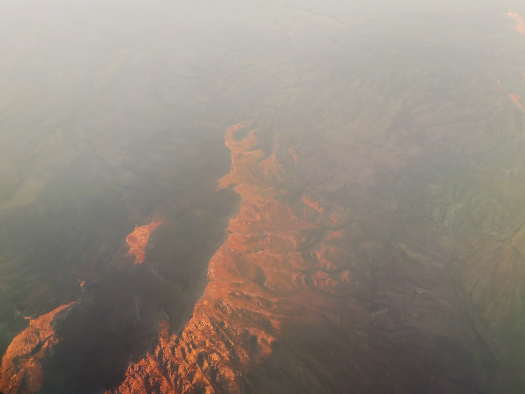 Robinson LakeHikingPhoto: Ken Lund, CC BY-SA 2.0 (via Flickr)0.7 mi
- Soldier BasinMountain biking2 mi
- Ruby City 2Mountain biking2 mi
- Ruby City 4Mountain biking2.1 mi
- CREEK TRAILHiking2.3 mi
- Franklin RiverCanoeing7.6 mi
- Thomas Canyon CampgroundCamping9.3 mi
Source: Roamze catalog (indexable pages within 10 miles, PostGIS distance)
- Robinson LakeHiking · ~1 min drivePhoto: Ken Lund, CC BY-SA 2.0 (via Flickr)
- North Fork Cold CreekHiking · ~1 min drive
- Griswold-SoldierHiking · ~4 min drive
- Middle Fork Cold CreekHiking · ~4 min drive
- CREEK TRAILHiking · ~4 min drive
- Ruby GuardHiking · ~5 min drive
- North Fork Cold CreekHiking · ~5 min drive
- Joe Billy Basin TrailHiking · ~9 min drive
- Ruby City 2Hiking · ~4 min drive
- Conrad CreekHiking · ~5 min drive
Also worth it near here
 Krenka NorthMountain biking · ~7 min drivePhoto: Scott Thompson, CC BY 3.0 (via Wikimedia Commons)
- Franklin RiverCanoeing · ~13 min drive
 Verdi PeakSummit · ~13 min drivePhoto: G. Thomas at English Wikipedia, Public domain (via Wikimedia Commons)
- Terraces Campground & Picnic AreaCamping · ~15 min drive
