North Fork Cold Creek
- 14.1 mi
- round trip
- 6,598 ft
- climb
- 9,968 ft
- high point
- Out and back
- route
Is North Fork Cold Creek open right now?
Closure in the area
There's a closure order in Humboldt-Toiyabe National Forest. It doesn't name North Fork Cold Creek, so check the source for the area it covers.
Elephant Fire Closure
Agency closure covering Humboldt-Toiyabe National Forest · Order 04-17-26-01-04 · USFS · Humboldt-Toiyabe National Forest
Road Closure for Construction Work (Mountain City-Ruby Mountains-Jarbidge Ranger Districts)
Agency alert covering Mountain City-Ruby Mountains-Jarbidge Ranger District · Order 04-17-26-06-04 · USFS · Mountain City-Ruby Mountains-Jarbidge Ranger District
Area, Road, and Trail Closures (Spring Mountains National Recreation Area)
Agency alert covering Humboldt-Toiyabe National Forest · Order 04-17-25-04 · USFS · Humboldt-Toiyabe National Forest
Year-Round Fire Restrictions (Spring Mountains National Recreation Area)
Agency alert covering Humboldt-Toiyabe National Forest · Order 04-17-24-01 · USFS · Humboldt-Toiyabe National Forest
Vehicle Snow Chain Requirements during Inclement Weather (Spring Mountains National Recreation Area)
Agency alert covering Humboldt-Toiyabe National Forest · Order 04-17-23-01 · USFS · Humboldt-Toiyabe National Forest
As of · Source: USFS · Humboldt-Toiyabe National Forest. Agencies don't list every closure — check before you go.
North Fork Cold Creek is a hard hike in Nevada's Humboldt-Toiyabe National Forest, within the Mountain City-Ruby Mountains-Jarbidge Ranger District. The route is an out-and-back that climbs from about 6,450 feet to nearly 10,000 feet, with a total elevation gain of about 6,600 feet over a distance of roughly 14 miles. The Forest Service manages the land. The trail is open from about June 15 through October 30, and the climb is long and steep, so plan on a full day. The route is natural-surfaced, and the high point sits at 9,968 feet. Middle Fork Cold Creek lies just 0.7 miles away, and the Conrad Creek and South Fork Cold Creek mountain biking routes are within about 2 miles. Thomas Canyon Campground is about 8 miles off.
Keep exploring — more trails worth the drive
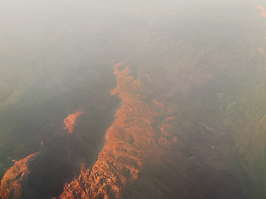 Photo: Ken Lund, CC BY-SA 2.0 (via Flickr)
Robinson Lake
~5 min drive
0.73-mile out-and-back trail to Robinson Lake in Nevada with 61 ft of elevation gain.
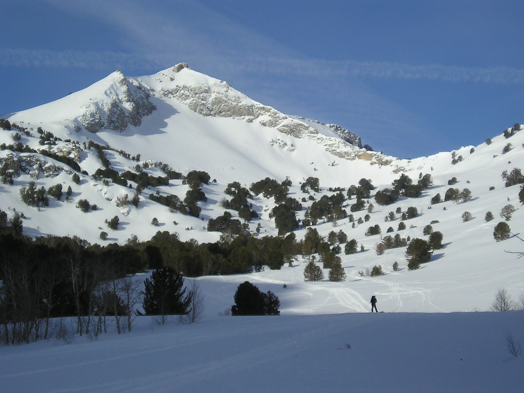 Photo: jfdervin, CC BY-SA 2.0 (via Flickr)
Talbot Creek
~10 min drive
6.22-mile out-and-back trail in Nevada with 2,473 ft elevation gain.
HIKE
Middle Fork Cold Creek
~2 min drive
10.30-mile out-and-back trail in Nevada with 2,187 ft elevation gain.
HIKE
South Fork Cold Creek
~4 min drive
5.00-mile out-and-back trail in Nevada with 1,413 ft elevation gain.
HIKE
John Day
~3 min drive
2.78-mile out-and-back trail in Nevada with 650 ft of elevation gain.
HIKE
Conrad Creek
~3 min drive
A 3.55-mile out-and-back Nevada trail connecting to a network of cold-water creeks including South Fork Cold Creek and Thorpe Creek.
HIKE
Joe Billy Basin Trail
~4 min drive
17.08-mile out-and-back trail in Nevada with 6,520 ft elevation gain/loss.
HIKE
Lamoille-Gardner Creek TH
~5 min drive
26.81-mile out-and-back trail in Nevada with 2,100 ft of elevation gain.
HIKE
Upper North Fork Cold Creek
~4 min drive
1.26-mile out-and-back trail with 293 ft gain in Nevada.
HIKE
North Fork Cold Creek
~4 min drive
An expert-level out-and-back trek covering 2.05 miles in Nevada's North Fork Cold Creek area.


