Griswold-Soldier
- 12.6 mi
- round trip
- 1,554 ft
- climb
- 9,255 ft
- high point
- Out and back
- route
Is Griswold-Soldier open right now?
Closure in the area
There's a closure order in Humboldt-Toiyabe National Forest. It doesn't name Griswold-Soldier, so check the source for the area it covers.
Elephant Fire Closure
Agency closure covering Humboldt-Toiyabe National Forest · Order 04-17-26-01-04 · USFS · Humboldt-Toiyabe National Forest
Road Closure for Construction Work (Mountain City-Ruby Mountains-Jarbidge Ranger Districts)
Agency alert covering Mountain City-Ruby Mountains-Jarbidge Ranger District · Order 04-17-26-06-04 · USFS · Mountain City-Ruby Mountains-Jarbidge Ranger District
Area, Road, and Trail Closures (Spring Mountains National Recreation Area)
Agency alert covering Humboldt-Toiyabe National Forest · Order 04-17-25-04 · USFS · Humboldt-Toiyabe National Forest
Year-Round Fire Restrictions (Spring Mountains National Recreation Area)
Agency alert covering Humboldt-Toiyabe National Forest · Order 04-17-24-01 · USFS · Humboldt-Toiyabe National Forest
Vehicle Snow Chain Requirements during Inclement Weather (Spring Mountains National Recreation Area)
Agency alert covering Humboldt-Toiyabe National Forest · Order 04-17-23-01 · USFS · Humboldt-Toiyabe National Forest
As of · Source: USFS · Humboldt-Toiyabe National Forest. Agencies don't list every closure — check before you go.
Griswold-Soldier is a hard hike in the Ruby Mountains Wilderness, part of the Mountain City-Ruby Mountains-Jarbidge Ranger District of the Humboldt-Toiyabe National Forest in northeastern Nevada. The Forest Service manages the land, and the route is an out-and-back of about 12.6 miles, with a one-way elevation gain of 1,554 feet. The trail's low point sits at 6,870 feet, and the high point reaches 9,255 feet. The trail is on natural surface, and horses are allowed. Bikes are not. That makes it a ride for pack animals rather than wheels. Robinson Lake is about 1.8 miles away, and Hidden Lakes is about 2.4 miles away. Middle Fork Cold Creek is about 3.1 miles off. For an overnight base, Thomas Canyon Campground lies about 7.7 miles away.
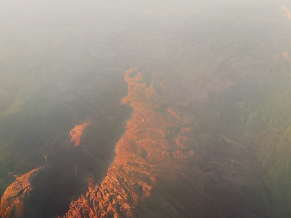 Robinson LakeHikingPhoto: Ken Lund, CC BY-SA 2.0 (via Flickr)1.8 mi
- North Fork Cold CreekMountain biking2.2 mi
- Hidden LakesHiking2.4 mi
 Joe Billy North CampsiteMountain bikingPhoto: Famartin, CC BY-SA 3.0 (via Wikimedia Commons)2.8 mi
- Middle Fork Cold CreekHiking3.1 mi
- Franklin RiverCanoeing6.1 mi
- Thomas Canyon CampgroundCamping7.7 mi
 Lamoille CanyonRock climbingPhoto: Famartin, CC BY-SA 3.0 (via Wikimedia Commons)9.1 mi
Source: Roamze catalog (indexable pages within 10 miles, PostGIS distance)
- Robinson LakeHiking · ~3 min drivePhoto: Ken Lund, CC BY-SA 2.0 (via Flickr)
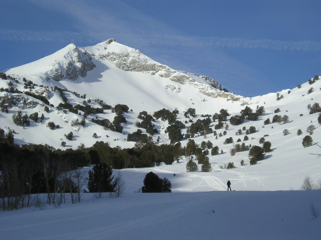 Talbot CreekHiking · ~12 min drivePhoto: jfdervin, CC BY-SA 2.0 (via Flickr)
- Middle Fork Cold CreekHiking · ~5 min drive
- Joe Billy BasinHiking · ~6 min drive
- Hidden LakesHiking · ~4 min drive
- North Fork Cold CreekHiking · ~4 min drive
- Joe Billy Basin TrailHiking · ~10 min drive
- Joe Billy BasinHiking · ~7 min drive
- Joe Billy South CampsiteHiking · ~5 min drive
- Conrad CreekHiking · ~5 min drive
Also worth it near here
- Joe Billy North CampsiteMountain biking · ~5 min drivePhoto: Famartin, CC BY-SA 3.0 (via Wikimedia Commons)
 Verdi PeakSummit · ~10 min drivePhoto: G. Thomas at English Wikipedia, Public domain (via Wikimedia Commons)
- Franklin RiverCanoeing · ~10 min drive
- Terraces Campground & Picnic AreaCamping · ~12 min drive
