Grey Dome Rim Trail
- 3.3 mi
- round trip
- 984 ft
- climb
- 6,289 ft
- high point
- Out and back
- route
- Apr–Jun, Aug–Oct
- best months
Grey Dome Rim Trail is a 3.34-mile out-and-back hike on Bureau of Land Management land in the Caliente Field Office of Nevada. The route runs about 6.7 miles round trip, with a steady climb that reaches a high point of 6,289 feet, about 480 feet above the starting elevation of roughly 5,950 feet. The trail is rated moderate, and the steepest stretch comes at about 1.6 miles in, with a 10% grade. Late spring and early fall are the most comfortable times to go. Typical averages from the nearby Pioche weather station show May highs around 68°F and September highs around 77°F, while July averages about 86°F. The trip takes about 2.5 hours. Within a few miles you can extend the day on the Silver State Trail, 2.7 miles away, or the Red Rhyolite Trail, 4.1 miles away. Home Run Trail and Pitfall Trail both sit about 8 miles off.
- Silver State TrailHiking2.7 mi
- Red Rhyolite TrailHiking4.1 mi
- Home Run TrailHiking8.2 mi
- Pitfall TrailHiking8.2 mi
- Parachute Peak TrailHiking8.3 mi
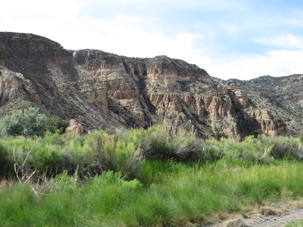 Rainbow RimHikingPhoto: Ken Lund, CC BY-SA 2.0 (via Flickr)8.6 mi
- Canyon Overlook LoopHikingPhoto: Ken Lund, CC BY-SA 2.0 (via Flickr)8.9 mi
- Kershaw RedemptionHiking9 mi
Source: Roamze catalog (indexable pages within 10 miles, PostGIS distance)
- Canyon Overlook LoopHiking · ~15 min drivePhoto: Ken Lund, CC BY-SA 2.0 (via Flickr)
 Eagle Point TrailHiking · ~31 min drivePhoto: snowpeak, CC BY 2.0 (via Flickr)
- Silver State TrailHiking · ~5 min drive
- Connector TrailHiking · ~16 min drive
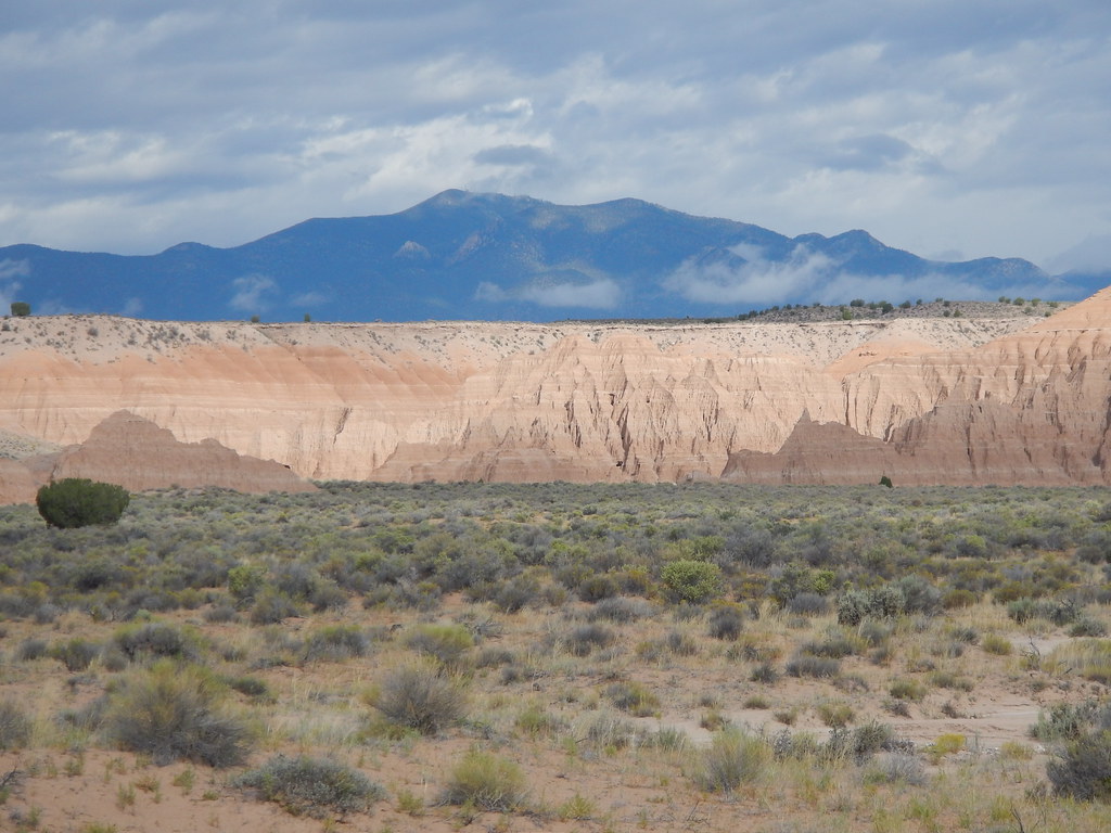 Juniper Draw Loop TrailHiking · ~30 min drivePhoto: Matt Lavin, CC BY-SA 2.0 (via Flickr)
 Crystal Wash Petroglyphs TrailHiking · ~49 min drivePhoto: Ken Lund, CC BY-SA 2.0 (via Flickr)
- Red Rhyolite TrailHiking · ~7 min drive
- Ella Mountain TrailHiking · ~16 min drive
 Nature TrailHiking · ~30 min drivePhoto: Matt Lavin, CC BY-SA 2.0 (via Flickr)
 Upper Lake TrailHiking · ~1h 2m drivePhoto: Ken Lund, CC BY-SA 2.0 (via Flickr)
Best time to visit Grey Dome Rim Trail
Best months: April–June and August–October. Best months have typical highs of 55–85 °F, lows of 30 °F or warmer (32 °F where the station doesn't record snow), at most one snowy day and no more than 12 wet days.
Jan
43° / 23°
5 wet
Feb
45° / 25°
6 wet
Mar
53° / 31°
5 wet
Apr
59° / 36°
4 wet
May
68° / 45°
4 wet
Jun
79° / 55°
3 wet
Jul
86° / 62°
4 wet
Aug
84° / 60°
5 wet
Sep
77° / 52°
4 wet
Oct
65° / 41°
4 wet
Nov
53° / 30°
3 wet
Dec
43° / 22°
4 wet
Typical high / low (°F) and days with rain or snow, 1991–2020. Measured at Pioche, NV, 22.3 mi away at 5,990 ft. This station doesn't record snowfall. Source: NOAA NCEI U.S. Climate Normals 1991–2020.

Map and trail data © OpenStreetMap contributors
