Crystal Wash Petroglyphs Trail
 Photo: Ken Lund, CC BY-SA 2.0 (via Flickr)
- 1.0 mi
- round trip
- 162 ft
- climb
- 4,157 ft
- high point
- Out and back
- route
- Mar–May, Oct–Nov
- best months
Crystal Wash Petroglyphs Trail is an easy hike on Bureau of Land Management land in Nevada's Caliente Field Office, about a mile from the town of Caliente. The trail is a short out-and-back with a round-trip distance of about 1.9 miles and a total climb of about 160 feet, so it's a quick stop that pairs well with a longer day in the area. The route starts near 4,150 feet and reaches a high point of about 4,157 feet, with the steepest stretch coming around 0.6 miles in. The trail is easy on the legs, with a low point of about 4,067 feet and the same amount of gain as loss over the course of the trip. Spring and fall are the most comfortable times to go. Typical averages from the nearby Hiko weather station show May highs around 79°F and October highs around 75°F, while July and August average in the mid-90s. The hike takes about half an hour, so plan on a short outing. The trail is open year-round, and the Bureau of Land Management manages the land.
 Davenport TrailHiking · ~32 min drivePhoto: Ken Lund, CC BY-SA 2.0 (via Flickr)
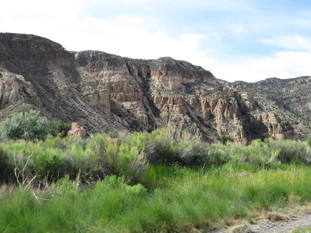 Canyon Overlook LoopHiking · ~1h drivePhoto: Ken Lund, CC BY-SA 2.0 (via Flickr)
- Red Rhyolite TrailHiking · ~43 min drive
- Connector TrailHiking · ~1h 2m drive
- Upper Lake TrailHiking · ~32 min drivePhoto: Ken Lund, CC BY-SA 2.0 (via Flickr)
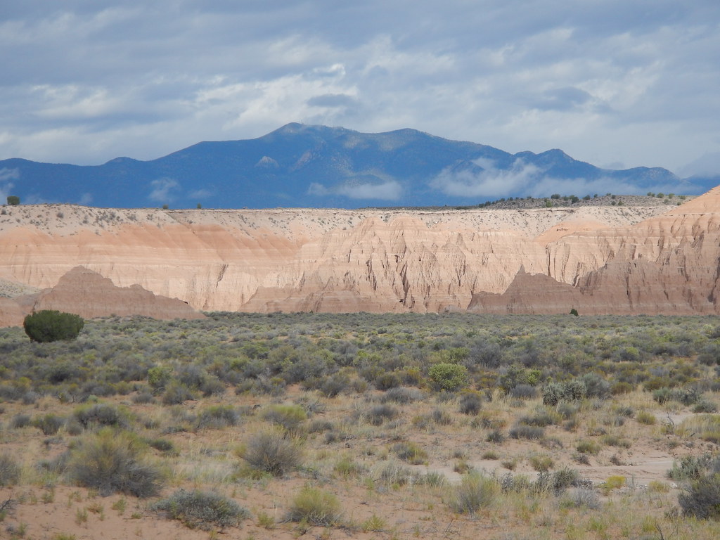 Juniper Draw Loop TrailHiking · ~1h 17m drivePhoto: Matt Lavin, CC BY-SA 2.0 (via Flickr)
- Silver State TrailHiking · ~51 min drive
- Ella Mountain TrailHiking · ~1h 3m drive
- Black Canyon TrailHiking · ~33 min drivePhoto: Ken Lund, CC BY-SA 2.0 (via Flickr)
- Big Rocks Wilderness TrailHiking · ~27 min drive
Best time to visit Crystal Wash Petroglyphs Trail
Best months: March–May and October–November. Best months have typical highs of 55–85 °F, lows of 30 °F or warmer (32 °F where the station doesn't record snow), at most one snowy day and no more than 12 wet days.
Jan
52° / 26°
4 wet · 1 snow
Feb
56° / 29°
4 wet
Mar
63° / 33°
4 wet
Apr
70° / 39°
3 wet
May
79° / 47°
3 wet
Jun
89° / 54°
2 wet
Jul
95° / 61°
3 wet
Aug
94° / 59°
3 wet
Sep
86° / 52°
2 wet
Oct
75° / 42°
2 wet
Nov
62° / 31°
2 wet
Dec
51° / 24°
3 wet
Typical high / low (°F) and days with rain or snow, 1991–2020. Measured at Hiko, NV, 3.4 mi away at 3,900 ft. Source: NOAA NCEI U.S. Climate Normals 1991–2020.

Map and trail data © OpenStreetMap contributors
