Golf Course Outer Trail
 Photo: Nouhailler, CC BY-SA 2.0 (via Flickr)
- 1.9 mi
- round trip
- 66 ft
- climb
- 4,615 ft
- high point
- Out and back
- route
- Mar–Jun, Sep–Oct
- best months
Golf Course Outer Trail is an easy out-and-back hike in Nevada, about half a mile from the town of Empire. The route is short and gentle, with a total elevation gain of 66 feet over a 3.7-mile round trip. The trail starts and ends at nearly the same elevation, around 4,589 feet, and the steepest stretch comes at about 1.8 miles in, with a grade of about 2 percent. Spring and fall are the most comfortable times to go. Typical averages from a nearby weather station in Carson City show May highs around 70°F and October highs around 68°F, while July averages about 90°F and winter brings highs in the mid-40s and a few snowy days a month. The trail pairs easily with other outings in the area. The Hwy 50 Frontage Trail and Riverview Trail are both within a mile, and the Prison Hill climbing area is about 3.7 miles away. Washoe Lake State Park Campground, roughly 5.5 miles off, offers a place to stay.
Local outfitters
- Alpenglow Expeditions28 mi away
Not on Roamze yet. Their page has how to reach them.
Best time to go · Mar–Jun, Sep–Oct
Best time to visit Golf Course Outer Trail
Best months: March–June and September–October. Best months have typical highs of 55–85 °F, lows of 30 °F or warmer (32 °F where the station doesn't record snow), at most one snowy day and no more than 12 wet days.
Jan
45° / 24°
6 wet · 2 snow
Feb
50° / 27°
6 wet · 1 snow
Mar
56° / 32°
5 wet · 1 snow
Apr
62° / 36°
3 wet
May
70° / 43°
3 wet
Jun
81° / 49°
2 wet
Jul
90° / 55°
1 wet
Aug
88° / 53°
1 wet
Sep
81° / 46°
1 wet
Oct
68° / 36°
2 wet
Nov
55° / 28°
3 wet · 1 snow
Dec
45° / 24°
5 wet · 1 snow
Typical high / low (°F) and days with rain or snow, 1991–2020. Measured at Carson City, NV, 5.2 mi away at 4,761 ft. Source: NOAA NCEI U.S. Climate Normals 1991–2020.
Keep exploring — more trails worth the drive
Photo: Nouhailler, CC BY-SA 2.0 (via Flickr)Rocky Trail
~2 min drive
2.50-mile out-and-back hike in Nevada with 617 ft gain
 Photo: Nouhailler, CC BY-SA 2.0 (via Flickr)
Lower Centennial Loop Connector
~3 min drive
0.6-mile out-and-back trail in Nevada with 211 ft elevation gain.
 Photo: jfdervin, CC BY-SA 2.0 (via Flickr)
Goni Road
~8 min drive
2.78-mile out-and-back trail on Goni Road in Nevada with 339 ft gain.
 Photo: Nouhailler, CC BY-SA 2.0 (via Flickr)
Centennial Loop
~4 min drive
4.74-mile out-and-back trail in Nevada with 1,481 ft elevation gain and loss.
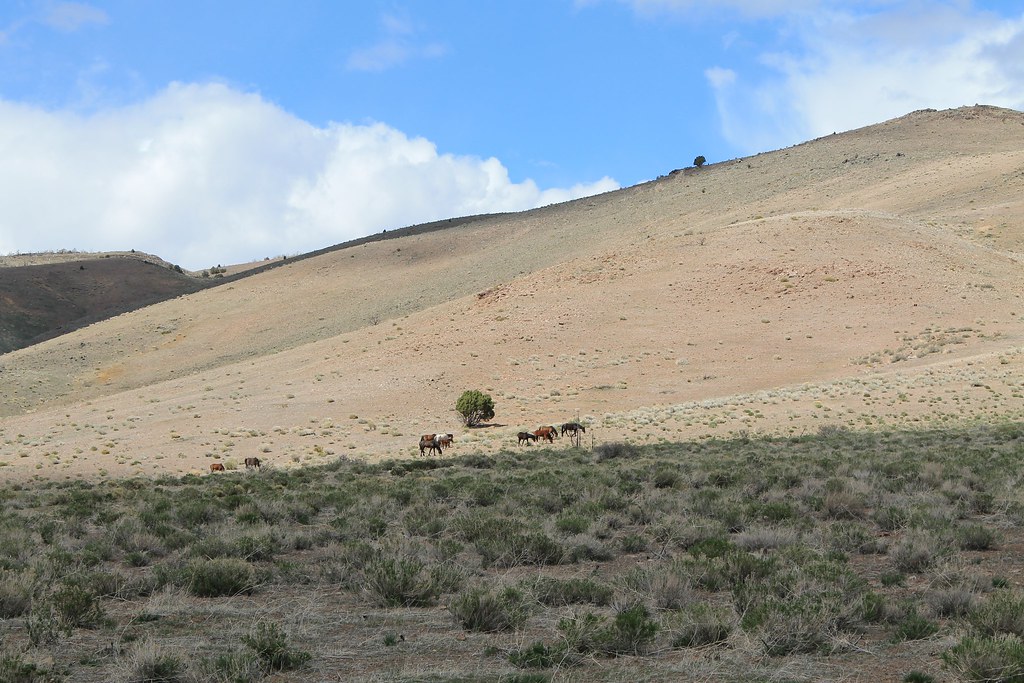 Photo: Nouhailler, CC BY-SA 2.0 (via Flickr)
Rocky Trail Bypass
~4 min drive
2.78-mile out-and-back trail in Nevada with 536 ft elevation gain
 Photo: Wheeler Cowperthwaite, CC BY 2.0 (via Flickr)
Lincoln Bypass
~8 min drive
8.26-mile out-and-back trail in Nevada with 1,191 ft elevation gain.
 Photo: jfdervin, CC BY-SA 2.0 (via Flickr)
EZ Trail
~10 min drive
2.42-mile out-and-back hike in Nevada with 1,069 ft elevation gain
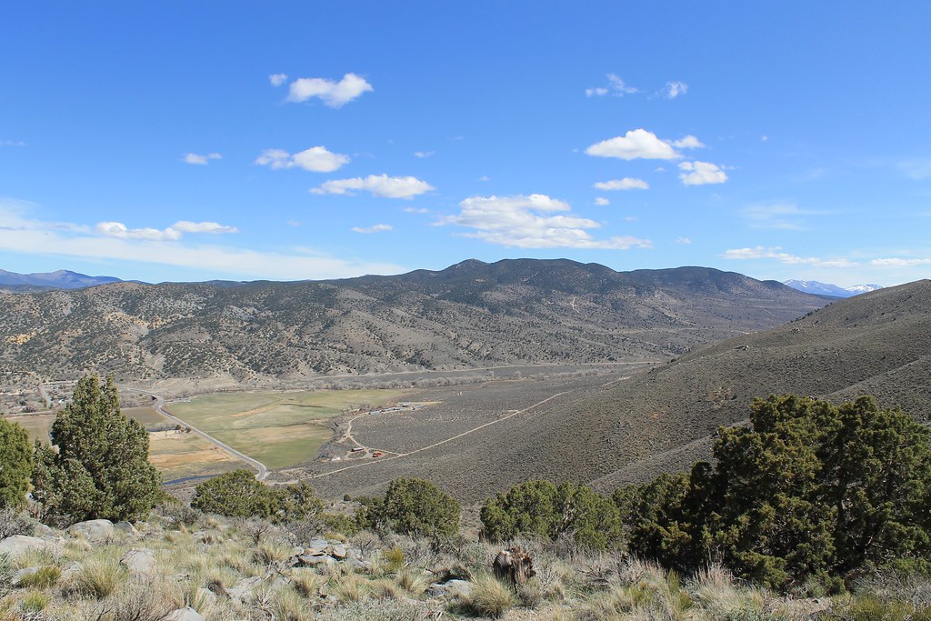 Photo: Nouhailler, CC BY-SA 2.0 (via Flickr)
Sagebrush Loop
~4 min drive
0.96-mile loop trail in Nevada with 123 ft elevation gain
 Photo: Nouhailler, CC BY-SA 2.0 (via Flickr)
Ophir Grade
~11 min drive
4.74-mile out-and-back trail in Nevada with 1,381 ft elevation gain.
Photo: Nouhailler, CC BY-SA 2.0 (via Flickr)Bitterbrush Loop
~4 min drive
0.41-mile loop in Nevada with 116 ft elevation gain and loss.

Map and trail data © OpenStreetMap contributors
