Fence Line
- 1.6 mi
- round trip
- 630 ft
- climb
- 7,277 ft
- high point
- Out and back
- route
- May–Oct
- best months
Caution today
Agency alerts are in effect for this area; weather is marginal · USFS, OpenWeather · checked just now
Is Fence Line open right now?
Closure in the area
There's a closure order in Humboldt-Toiyabe National Forest. It doesn't name Fence Line, so check the source for the area it covers.
Elephant Fire Closure
Agency closure covering Humboldt-Toiyabe National Forest · Order 04-17-26-01-04 · USFS · Humboldt-Toiyabe National Forest
Road Closure for Construction Work (Mountain City-Ruby Mountains-Jarbidge Ranger District)
Agency alert covering Mountain City-Ruby Mountains-Jarbidge Ranger District · Order 04-17-26-06-04 · USFS · Mountain City-Ruby Mountains-Jarbidge Ranger District
Area, Road, and Trail Closures (Spring Mountains National Recreation Area)
Agency alert covering Humboldt-Toiyabe National Forest · Order 04-17-25-04 · USFS · Humboldt-Toiyabe National Forest
Year-Round Fire Restrictions (Spring Mountains National Recreation Area)
Agency alert covering Humboldt-Toiyabe National Forest · Order 04-17-24-01 · USFS · Humboldt-Toiyabe National Forest
Vehicle Snow Chain Requirements during Inclement Weather (Spring Mountains National Recreation Area)
Agency alert covering Humboldt-Toiyabe National Forest · Order 04-17-23-01 · USFS · Humboldt-Toiyabe National Forest
As of · Source: USFS · Humboldt-Toiyabe National Forest. Agencies don't list every closure — check before you go.
Fence Line is an easy, out-and-back hike in the Mountain City-Ruby Mountains-Jarbidge Ranger District of Nevada's Humboldt-Toiyabe National Forest. The trail runs about 1.6 miles and gains about 630 feet, from a low point of roughly 6,624 feet to a high of about 7,277 feet. The Forest Service manages the land. The trail surface is natural, and bikes are allowed. It works well as a short outing for hikers or riders. The route stays on the same path for the round trip. Summer is the most comfortable time to visit. Typical averages from a nearby weather station run to highs around 74°F in June and September, with July reaching the mid-80s. That station sits about 1,000 feet lower than the trail, so temperatures on the hike run cooler. The trail is open year-round, and the Woolverton 2 hike and the Woolverton 1 and Woolverton 3 mountain biking routes all lie within about 3.5 miles. For a change of pace, the Franklin River offers canoeing about 8 miles away.
- Woolverton 1Mountain biking3.2 mi
- Woolverton 3Mountain biking3.4 mi
- Woolverton 2Hiking3.4 mi
- Horse 2 Cutoff AMountain biking3.6 mi
- Woolverton 2 Spur AMountain biking3.7 mi
- Rattle Snake 2Mountain biking3.8 mi
- Horse 2 Spur CMountain biking4 mi
- Franklin RiverCanoeing8.1 mi
Source: Roamze catalog (indexable pages within 10 miles, PostGIS distance)
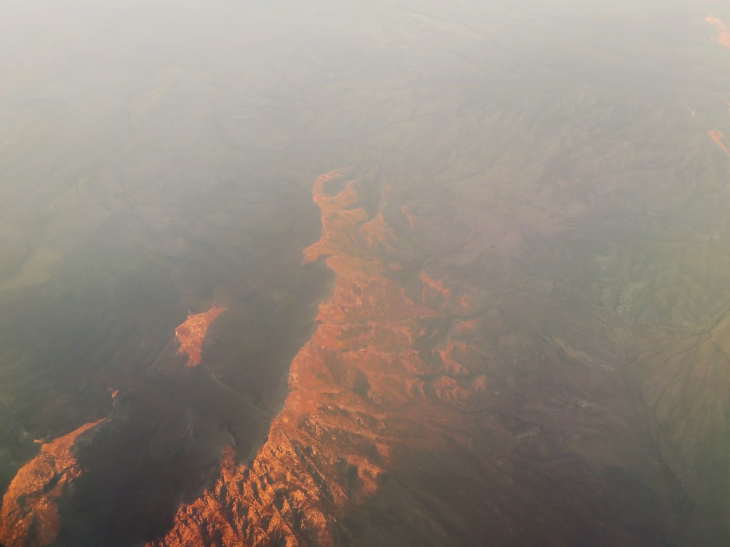 Robinson LakeHiking · ~14 min drivePhoto: Ken Lund, CC BY-SA 2.0 (via Flickr)
- Fence LineHiking · ~3 min drive
- Krenka NorthHiking · ~8 min drive
- Middle Fork Cold CreekHiking · ~18 min drive
- Woolverton 1Hiking · ~6 min drive
- WoolvertonHiking · ~9 min drive
- Krenka 1Hiking · ~8 min drive
- Soldier BasinHiking · ~16 min drive
- Woolverton 2Hiking · ~6 min drive
- Krenka CreekHiking · ~10 min drive
Best time to visit Fence Line
Best months: May–October. Best months have typical highs of 55–85 °F, lows of 30 °F or warmer (32 °F where the station doesn't record snow), at most one snowy day and no more than 12 wet days.
Jan
36° / 16°
7 wet
Feb
39° / 18°
6 wet
Mar
48° / 25°
6 wet
Apr
54° / 30°
7 wet
May
64° / 37°
7 wet
Jun
74° / 43°
4 wet
Jul
84° / 50°
3 wet
Aug
83° / 48°
3 wet
Sep
74° / 41°
3 wet
Oct
61° / 32°
4 wet
Nov
46° / 22°
5 wet
Dec
35° / 16°
6 wet
Typical high / low (°F) and days with rain or snow, 1991–2020. Measured at Arthur 4nw, NV, 3.9 mi away at 6,250 ft. The station sits about 1,000 ft lower than this place, so expect it a little cooler here. This station doesn't record snowfall. Source: NOAA NCEI U.S. Climate Normals 1991–2020.

