Deep Creek to Box Canyon
- 11.6 mi
- round trip
- 320 ft
- climb
- 7,574 ft
- high point
- Out and back
- route
Is Deep Creek to Box Canyon open right now?
Closure in the area
There's a closure order in Humboldt-Toiyabe National Forest. It doesn't name Deep Creek to Box Canyon, so check the source for the area it covers.
Elephant Fire Closure
Agency closure covering Humboldt-Toiyabe National Forest · Order 04-17-26-01-04 · USFS · Humboldt-Toiyabe National Forest
Area, Road, and Trail Closures (Spring Mountains National Recreation Area)
Agency alert covering Humboldt-Toiyabe National Forest · Order 04-17-25-04 · USFS · Humboldt-Toiyabe National Forest
Year-Round Fire Restrictions (Spring Mountains National Recreation Area)
Agency alert covering Humboldt-Toiyabe National Forest · Order 04-17-24-01 · USFS · Humboldt-Toiyabe National Forest
Vehicle Snow Chain Requirements during Inclement Weather (Spring Mountains National Recreation Area)
Agency alert covering Humboldt-Toiyabe National Forest · Order 04-17-23-01 · USFS · Humboldt-Toiyabe National Forest
Rainbow Canyon Flood Diversion Structure Closure (Spring Mountains National Recreation Area)
Agency alert covering Humboldt-Toiyabe National Forest · Order 04-17-15-01 · USFS · Humboldt-Toiyabe National Forest
As of · Source: USFS · Humboldt-Toiyabe National Forest. Agencies don't list every closure — check before you go.
Deep Creek to Box Canyon is an out-and-back hike of about 11.6 miles in the Santa Rosa Ranger District of Humboldt-Toiyabe National Forest in Nevada, managed by the Forest Service. The trail is rated hard, with a one-way climb of about 320 feet from a low point of 6,618 feet to a high of 7,574 feet. The route is natural-surface and allows bikes. It is not an accessible trail. Slick Rock Trail lies about 1.6 miles away, and the Paradise Valley climbing area is about 2.9 miles off. Lye Creek Campground, about 4.7 miles away, offers a place to stay. Martin Creek, roughly 6.9 miles away, is a canoeing spot.
- Slick Rock TrailHiking1.6 mi
 Paradise ValleyRock climbingPhoto: Seth Tisue, CC BY-SA 2.0 (via Flickr)2.9 mi
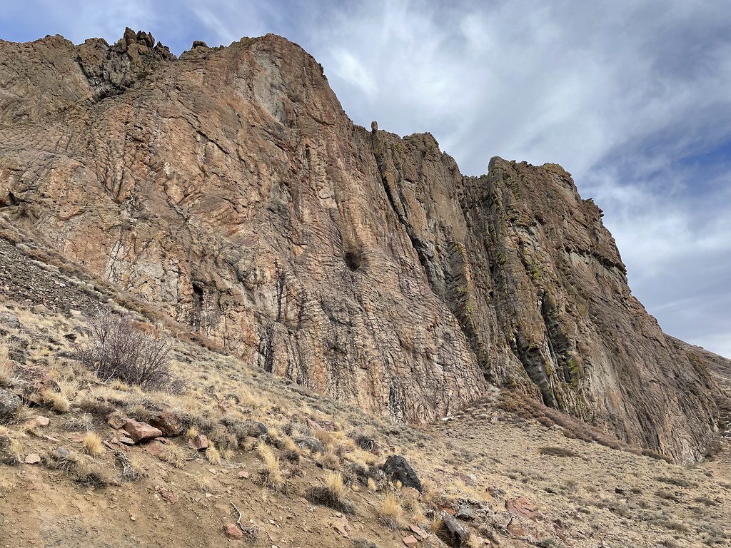 Slick RockHikingPhoto: Seth Tisue, CC BY-SA 2.0 (via Flickr)3.3 mi
- Single Tree TrailHiking4.3 mi
- Lye Creek CampgroundCamping4.7 mi
- Martin CreekCanoeing6.9 mi
- Summit TrailHiking8.2 mi
- Little Cottonwood CreekHiking8.8 mi
Source: Roamze catalog (indexable pages within 10 miles, PostGIS distance)
- Slick RockHiking · ~6 min drivePhoto: Seth Tisue, CC BY-SA 2.0 (via Flickr)
 Pole Line TrailHiking · ~1h 18m drivePhoto: Matt Lavin, CC BY-SA 2.0 (via Flickr)
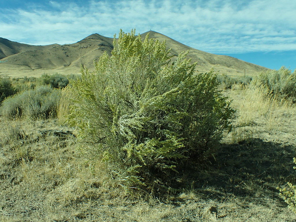 Lower LoopHiking · ~1h 18m drivePhoto: Matt Lavin, CC BY-SA 2.0 (via Flickr)
- Single Tree TrailHiking · ~7 min drive
- Summit TrailHiking · ~14 min drive
 Moose Head Mine TrailHiking · ~1h 25m drivePhoto: Ken Lund, CC BY-SA 2.0 (via Flickr)
 Ditch TrailHiking · ~1h 20m drivePhoto: Ken Lund, CC BY-SA 2.0 (via Flickr)
- Summit TrailHiking · ~21 min drive
- Summit TrailHiking · ~18 min drive
- Slick Rock TrailHiking · ~3 min drive

