Bermuda Palms RV Park
Campground
Campground · 12 mi from the trail
Blue Diamond to Jean is a 21.3-mile out-and-back hike on Bureau of Land Management land in Nevada's Red Rock/Sloan Field Office, with the high point at about 4,864 feet and the low at about 3,748 feet. The route is rated hard, and it gains about 670 feet in elevation. Spring and fall are the most comfortable times to go. Typical averages from a nearby weather station at Goodsprings put April highs around 75°F and October highs around 78°F, while July highs climb to about 102°F. That station sits roughly 1,150 feet lower than the hike's high point, so temperatures on the route run cooler. Bikes are allowed on the natural-surface trail, and horses are not. The hike is a long one, so plan for several hours on foot or on a bike. The nearest town is Goodsprings, about 5.6 miles away. Nearby, Dead Horse Loop is about 4.3 miles off. The Bonnie & Clyde Connector and Overlook mountain biking routes are each about 4.4 miles away. Climbers can find East Side about 7.6 miles from the route.
Bermuda Palms RV Park
Campground
Places © OpenStreetMap contributors
More in Sandy ValleySource: Roamze catalog (indexable pages within 10 miles, PostGIS distance)
 Tenaya Paseo TrailHiking · ~16 min drivePhoto: Coupe 43Q, CC BY 2.0 (via Flickr)
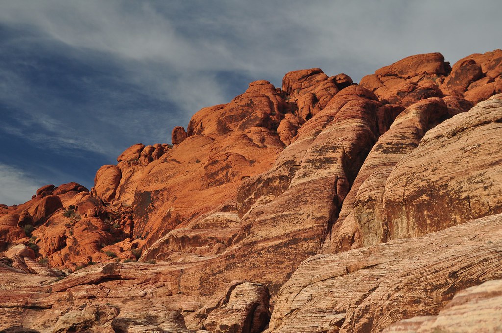 First Creek CanyonHiking · ~23 min drivePhoto: lsiegert, CC BY 2.0 (via Flickr)
 Old Spanish TrailHiking · ~18 min drivePhoto: Ken Lund from Reno, Nevada, USA, CC BY-SA 2.0 (via Wikimedia Commons)
 WILDERNESS TRAILHiking · ~23 min drivePhoto: planeta, CC BY-SA 2.0 (via Flickr)Old Spanish TrailHiking · ~19 min drivePhoto: Ken Lund from Reno, Nevada, USA, CC BY-SA 2.0 (via Wikimedia Commons)
 S Oak Creek CanyonHiking · ~24 min drivePhoto: Ken Lund, CC BY-SA 2.0 (via Flickr)
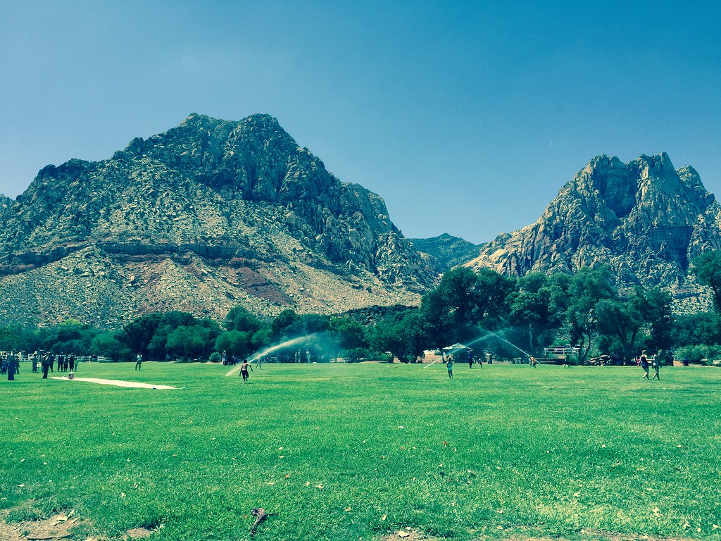 South Ash Grove LoopHiking · ~22 min drivePhoto: christie_verbose, CC BY 2.0 (via Flickr)
 KnollHiking · ~26 min drivePhoto: Sean Williams 297, CC BY 2.0 (via Flickr)
Best months: January–April and October–November. Best months have typical highs of 55–85 °F, lows of 30 °F or warmer (32 °F where the station doesn't record snow), at most one snowy day and no more than 12 wet days.
Jan
55° / 32°
3 wet
Feb
59° / 35°
4 wet
Mar
67° / 39°
3 wet
Apr
75° / 45°
2 wet
May
87° / 54°
1 wet
Jun
98° / 62°
1 wet
Jul
102° / 69°
3 wet
Aug
100° / 66°
3 wet
Sep
91° / 60°
2 wet
Oct
78° / 50°
2 wet
Nov
63° / 38°
2 wet
Dec
54° / 32°
2 wet
Typical high / low (°F) and days with rain or snow, 1991–2020. Measured at Goodsprings, NV, 5.6 mi away at 3,716 ft. The station sits about 1,100 ft lower than this place, so expect it a little cooler here. This station doesn't record snowfall. Source: NOAA NCEI U.S. Climate Normals 1991–2020.


