Belli Front Trail
 Photo: theforestprimeval, CC BY-SA 2.0 (via Flickr)
- 3.7 mi
- round trip
- 1,431 ft
- climb
- 5,607 ft
- high point
- Out and back
- route
- Apr–Oct
- best months
Is Belli Front Trail open right now?
Closure in the area
There's a closure order in Carson Ranger District. It doesn't name Belli Front Trail, so check the source for the area it covers (2 listed).
Hawk Fire Closure (Carson Ranger District)
Agency closure covering Carson Ranger District · Order 04-17-26-01-08 · USFS · Carson Ranger District
Elephant Fire Closure
Agency closure covering Humboldt-Toiyabe National Forest · Order 04-17-26-01-04 · USFS · Humboldt-Toiyabe National Forest
Floriston Fire Closure
Agency alert covering Carson Ranger District · Order 17-26-24 · USFS · Carson Ranger District
Power line construction along SR 88, Alpine County, California (Carson Ranger District)
Agency alert covering Carson Ranger District · USFS · Carson Ranger District
Over-Snow Vehicle Closure (Carson Ranger District)
Agency alert covering Carson Ranger District · Order 04-17-25-12 · USFS · Carson Ranger District
As of · Source: USFS · Carson Ranger District. Agencies don't list every closure — check before you go.
Belli Front Trail is a 7.4-mile out-and-back hike in the Carson Ranger District of Humboldt-Toiyabe National Forest in Nevada, managed by the Forest Service. The trail starts at about 5,300 feet and climbs to about 5,600 feet, with a total elevation gain of 430 feet. The steepest stretch comes at about 1.5 miles in, where the grade reaches 44 percent. Late spring and early fall are the most comfortable times to go. Typical averages from a nearby weather station at a similar elevation show May highs around 65°F and September highs around 77°F, while July and August average in the mid-80s. Several other outings sit close by. The Tom Cooke Trail for mountain biking is about 0.7 miles away, and the Steamboat Ditch Trail and Hunter Creek hikes are each within about a mile. Climbers can find the Lower West Side (Broken Promises boulder) about 1.5 miles off.
Local outfitters
- Alpenglow Expeditions27 mi away
Not on Roamze yet. Their page has how to reach them.
Best time to go · Apr–Oct
Best time to visit Belli Front Trail
Best months: April–October. Best months have typical highs of 55–85 °F, lows of 30 °F or warmer (32 °F where the station doesn't record snow), at most one snowy day and no more than 12 wet days.
Jan
42° / 24°
Feb
45° / 26°
Mar
51° / 30°
Apr
56° / 33°
May
65° / 40°
Jun
75° / 47°
Jul
85° / 53°
Aug
84° / 52°
Sep
77° / 47°
Oct
64° / 38°
Nov
52° / 30°
Dec
42° / 23°
Typical high / low (°F) and days with rain or snow, 1991–2020. Measured at Verdi 2w, CA, 6.1 mi away at 5,429 ft. This station doesn't record snowfall. Source: NOAA NCEI U.S. Climate Normals 1991–2020.
Keep exploring — more trails worth the drive
 Photo: Ken Lund, CC BY-SA 2.0 (via Flickr)
Tom Cooke Trail
~2 min drive
0.31-mile out-and-back trail in Nevada with 8 ft gain and 200 ft loss.
Photo: Ken Lund, CC BY-SA 2.0 (via Flickr)Hunter Creek
~2 min drive
6.08-mile out-and-back trail in Nevada with 1,133 ft elevation gain.
 Photo: Ken Lund, CC BY-SA 2.0 (via Flickr)
Steamboat Ditch Trail
~6 min drive
3.11-mile out-and-back trail in Nevada with 805 ft elevation gain.
 Photo: Ken Lund, CC BY-SA 2.0 (via Flickr)
Tahoe-Pyramid Trail
~5 min drive
0.68-mile out-and-back hike to Pyramid in Nevada with 29 ft of elevation gain.
 Photo: Ken Lund, CC BY-SA 2.0 (via Flickr)
Steamboat Ditch Trail
~8 min drive
24.12-mile out-and-back trail in Nevada with 89 ft of elevation gain.
 Photo: Ken Lund, CC BY-SA 2.0 (via Flickr)
Poedunk Trail
~9 min drive
5.08-mile out-and-back hike in Nevada with 417 ft of elevation gain.
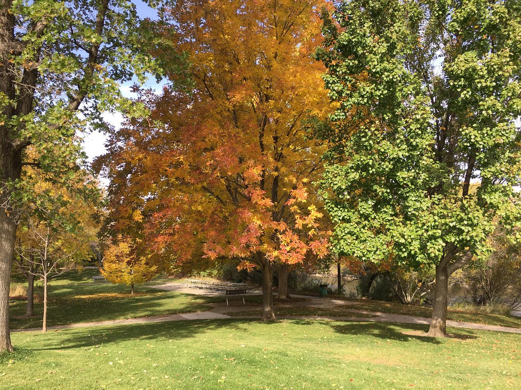 Photo: Ken Lund, CC BY-SA 2.0 (via Flickr)
Steamboat Ditch Trail
~7 min drive
0.74-mile out-and-back trail in Nevada following a ditch path.
 Photo: jamesonf, CC BY 2.0 (via Flickr)
Hawk Meadow Trail
~6 min drive
10.18-mile out-and-back trail in Nevada with 2,416 ft elevation gain and loss.
HIKE
Steamboat Ditch Trail
~1 min drive
4.37-mile out-and-back hike in Nevada with 999 ft gain.
 Photo: fred.garz, CC BY-SA 2.0 (via Flickr)
Fishermans Trail
~7 min drive
0.62-mile out-and-back trail in Nevada with 58 ft of elevation gain.

Map and trail data © OpenStreetMap contributors
