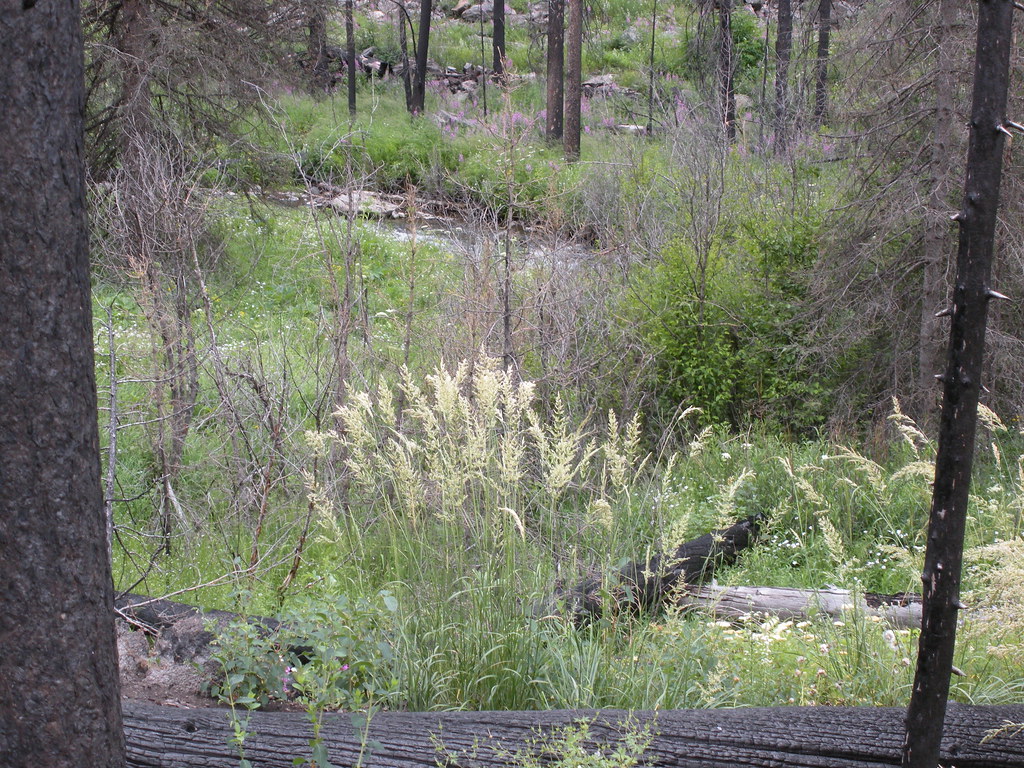
Andersoncreek-08
Campground
Campground · 2.0 mi from the trail
Closure in the area
There's a closure order in Yellowstone Ranger District. It doesn't name Passage Falls, so check the source for the area it covers (13 listed).
East Fork of the Mill Creek Trail Bridge Stock Closure
Agency closure covering Yellowstone Ranger District · Order 01-11-04-26-03 · USFS · Yellowstone Ranger District
NFSR #1700 South Plateau Road Closure
Agency closure covering Custer Gallatin National Forest · USFS · Custer Gallatin National Forest
Hyalite Porcupine Buffalo Horn Summer Interim Travel Order and Map and Order # 01-11-00-26-02
Agency closure covering Custer Gallatin National Forest · Order 01-11-00-26-02 · USFS · Custer Gallatin National Forest
Hyalite Porcupine Buffalo Horn Winter Interim Travel Order and Map Order Number: #01-11-00-26-01
Agency closure covering Custer Gallatin National Forest · USFS · Custer Gallatin National Forest
Glacier Lake Road #2421 Closure Order Number: # 01-11-82-26- 01
Agency closure covering Custer Gallatin National Forest · Order 01-11-82-26- · USFS · Custer Gallatin National Forest
As of · Source: USFS · Yellowstone Ranger District. Agencies don't list every closure — check before you go.
Passage Falls is a waterfall in the Yellowstone Ranger District of Custer Gallatin National Forest in Montana, about 14 miles from the town of Pray. It sits at roughly 6,400 feet, and the surrounding area offers a mix of hiking and climbing within a few miles. Summer is the most comfortable time to visit. Typical averages from a nearby weather station show July highs around 81°F with lows near 48°F, while winter brings highs in the low 30s and regular snow days from December through February. The closest trails are Passage Creek, about 0.4 miles away, and Wallace Pass, about 0.6 miles away. Climbers can find Ladyfingers Buttress and Peanuts Wall roughly 2 miles off, and Snowbank Campground is about 4 miles away for an overnight stay.
Andersoncreek-08
Campground
Places © Overture Maps Foundation
More in EmigrantElevation from USGS 3D Elevation Program terrain data (about 10 m resolution).
Source: Roamze catalog (indexable pages within 10 miles, PostGIS distance)
 Rustic FallsWaterfall · ~41 min drivePhoto: James St. John, CC BY 2.0 (via Wikimedia Commons)
 Tower FallWaterfall · ~42 min drivePhoto: Daniel Mayer, CC BY-SA 3.0 (via Wikimedia Commons)
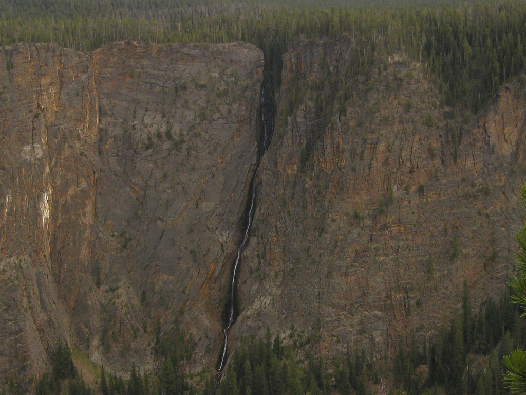 Silver Cord CascadeWaterfall · ~1h 1m drivePhoto: Alex1961, CC BY-SA 2.0 (via Wikimedia Commons)
 Lower Falls of the Yellowstone RiverWaterfall · ~1h 2m drivePhoto: Miguel Hermoso Cuesta, CC BY-SA 4.0 (via Wikimedia Commons)
 Virginia CascadeWaterfall · ~1h 4m drivePhoto: Rose Heil, Public domain (via Wikimedia Commons)
 Gibbon FallsWaterfall · ~1h 13m drivePhoto: Daniel Mayer, CC BY-SA 3.0 (via Wikimedia Commons)
 Firehole FallsWaterfall · ~1h 19m drivePhoto: WikiBunny11, CC BY-SA 3.0 (via Wikimedia Commons)
 Cascades of the FireholeWaterfall · ~1h 20m drivePhoto: James St. John, CC BY 2.0 (via Wikimedia Commons)
 Osprey FallsWaterfall · ~40 min drivePhoto: Unknown authorUnknown author, Public domain (via Wikimedia Commons)
 Upper Falls of the Yellowstone RiverWaterfall · ~1h 3m drivePhoto: Tony Hisgett from Birmingham, UK, CC BY 2.0 (via Wikimedia Commons)
Best months: July–September. Best months have typical highs of 55–85 °F, lows of 30 °F or warmer (32 °F where the station doesn't record snow), at most one snowy day and no more than 12 wet days.
Jan
31° / 12°
11 wet · 9 snow
Feb
34° / 12°
11 wet · 9 snow
Mar
42° / 19°
11 wet · 7 snow
Apr
50° / 26°
11 wet · 5 snow
May
60° / 35°
13 wet · 2 snow
Jun
69° / 42°
13 wet
Jul
81° / 48°
10 wet
Aug
80° / 47°
9 wet
Sep
69° / 39°
9 wet · 1 snow
Oct
54° / 29°
9 wet · 3 snow
Nov
39° / 19°
10 wet · 7 snow
Dec
30° / 12°
12 wet · 10 snow
Typical high / low (°F) and days with rain or snow, 1991–2020. Measured at Yellowstone Park Mammoth, WY, 20.8 mi away at 6,195 ft. Source: NOAA NCEI U.S. Climate Normals 1991–2020.