Andersoncreek-08
Campground
Campground · 2.4 mi from the trail
Closure in the area
There's a closure order in Yellowstone Ranger District. It doesn't name Wallace Pass, so check the source for the area it covers (13 listed).
East Fork of the Mill Creek Trail Bridge Stock Closure
Agency closure covering Yellowstone Ranger District · Order 01-11-04-26-03 · USFS · Yellowstone Ranger District
NFSR #1700 South Plateau Road Closure
Agency closure covering Custer Gallatin National Forest · USFS · Custer Gallatin National Forest
Hyalite Porcupine Buffalo Horn Summer Interim Travel Order and Map and Order # 01-11-00-26-02
Agency closure covering Custer Gallatin National Forest · Order 01-11-00-26-02 · USFS · Custer Gallatin National Forest
Hyalite Porcupine Buffalo Horn Winter Interim Travel Order and Map Order Number: #01-11-00-26-01
Agency closure covering Custer Gallatin National Forest · USFS · Custer Gallatin National Forest
Glacier Lake Road #2421 Closure Order Number: # 01-11-82-26- 01
Agency closure covering Custer Gallatin National Forest · Order 01-11-82-26- · USFS · Custer Gallatin National Forest
As of · Source: USFS · Yellowstone Ranger District. Agencies don't list every closure — check before you go.
Wallace Pass is a hard hike in the Absaroka-Beartooth Wilderness, part of the Yellowstone Ranger District of Custer Gallatin National Forest in Montana. The Forest Service manages the land, and the trail is a natural-surface out-and-back that climbs from about 6,017 feet to 9,758 feet over roughly 14.4 miles. The route is rated hard, and the one-way gain is 3,851 feet. Horses are allowed on the trail, so it works for riders as well as hikers. The pass sits in designated wilderness, and the surrounding area offers more to explore. Passage Creek is just 0.3 miles away and Passage Falls about 1.3 miles off. Climbers can head to Ladyfingers Buttress and Peanuts Wall, both about 2.4 miles away. For an overnight base, Snowbank Campground is about 4.4 miles from the pass.
Andersoncreek-08
Campground
Places © OpenStreetMap contributors
More in EmigrantNot on Roamze yet. Their page has how to reach them.
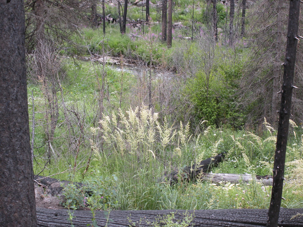 Passage FallsHikingPhoto: Matt Lavin, CC BY-SA 2.0 (via Flickr)1.3 mi
Source: Roamze catalog (indexable pages within 10 miles, PostGIS distance)
Passage FallsHiking · ~2 min drivePhoto: Matt Lavin, CC BY-SA 2.0 (via Flickr)