Fr132-33
Campground
Campground · 0.6 mi from the trail
 Photo: Mike Cline, CC BY-SA 4.0 (via Wikimedia Commons)
Closure reported
The Forest Service lists a closure that covers Storm Castle.
Storm Castle Creek Trail #185 Temporarily Closed Due to Storm Damage
Agency closure covering Bozeman Ranger District · Order 01-11-06-26-07 · USFS · Bozeman Ranger District
Hyalite Canyon South Road Closure Order
Agency closure covering Bozeman Ranger District · Order 01-11-06-27-04 · USFS · Bozeman Ranger District
Sourdough/Bozeman Creek Trailhead and Trail Closure
Agency closure covering Bozeman Ranger District · Order 01-11-06-27-02 · USFS · Bozeman Ranger District
NFSR #1700 South Plateau Road Closure
Agency closure covering Custer Gallatin National Forest · USFS · Custer Gallatin National Forest
Hyalite Porcupine Buffalo Horn Summer Interim Travel Order and Map and Order # 01-11-00-26-02
Agency closure covering Custer Gallatin National Forest · Order 01-11-00-26-02 · USFS · Custer Gallatin National Forest
As of · Source: USFS · Bozeman Ranger District. Agencies don't list every closure — check before you go.
Storm Castle is a summit of 7,326 feet in the Bozeman Ranger District of Custer Gallatin National Forest in Montana, about 9.6 miles from the town of Gallatin Gateway. Summer is the most comfortable time to visit. Typical averages from a nearby weather station at Big Sky, which sits about 736 feet lower, show July highs around 78°F with lows near 41°F, while winter highs stay in the 20s and 30s. The Storm Castle Mtn hike starts just 0.4 miles away, and the Stormcastle and Hantavirus Cave climbing areas are each about half a mile off. For an overnight stay, Spire Rock campground is about 1.3 miles away.
Fr132-33
Campground
Places © OpenStreetMap contributors, Places © Overture Maps Foundation
More in EmigrantDaily highs and lows, wind and the chance of precipitation at the summit and route start for the next 7 days, from the Open-Meteo model.
Elevation from USGS 3D Elevation Program terrain data (about 10 m resolution).
7,326 ft (2,233 m).
One: Storm Castle Mtn.
Storm Castle Mtn starts at GARNET MOUNTAIN /STORM CASTLE (about 5,928 ft).
Year-round.
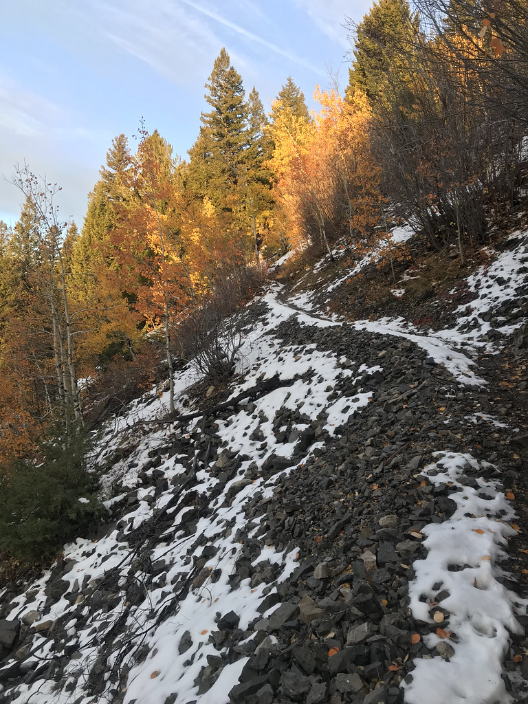 Storm Castle MtnHikingPhoto: Forest Service - Northern Region, Public Domain Mark (via Flickr)0.4 mi
Source: Roamze catalog (indexable pages within 10 miles, PostGIS distance)
 Fan MountainSummit · ~31 min drivePhoto: Mike Cline, CC BY-SA 4.0 (via Wikimedia Commons)
 Cedar MountainSummit · ~36 min drivePhoto: Mike Cline, CC BY-SA 4.0 (via Wikimedia Commons)
 The HelmetSummit · ~41 min drivePhoto: Mike Cline, CC BY-SA 4.0 (via Wikimedia Commons)
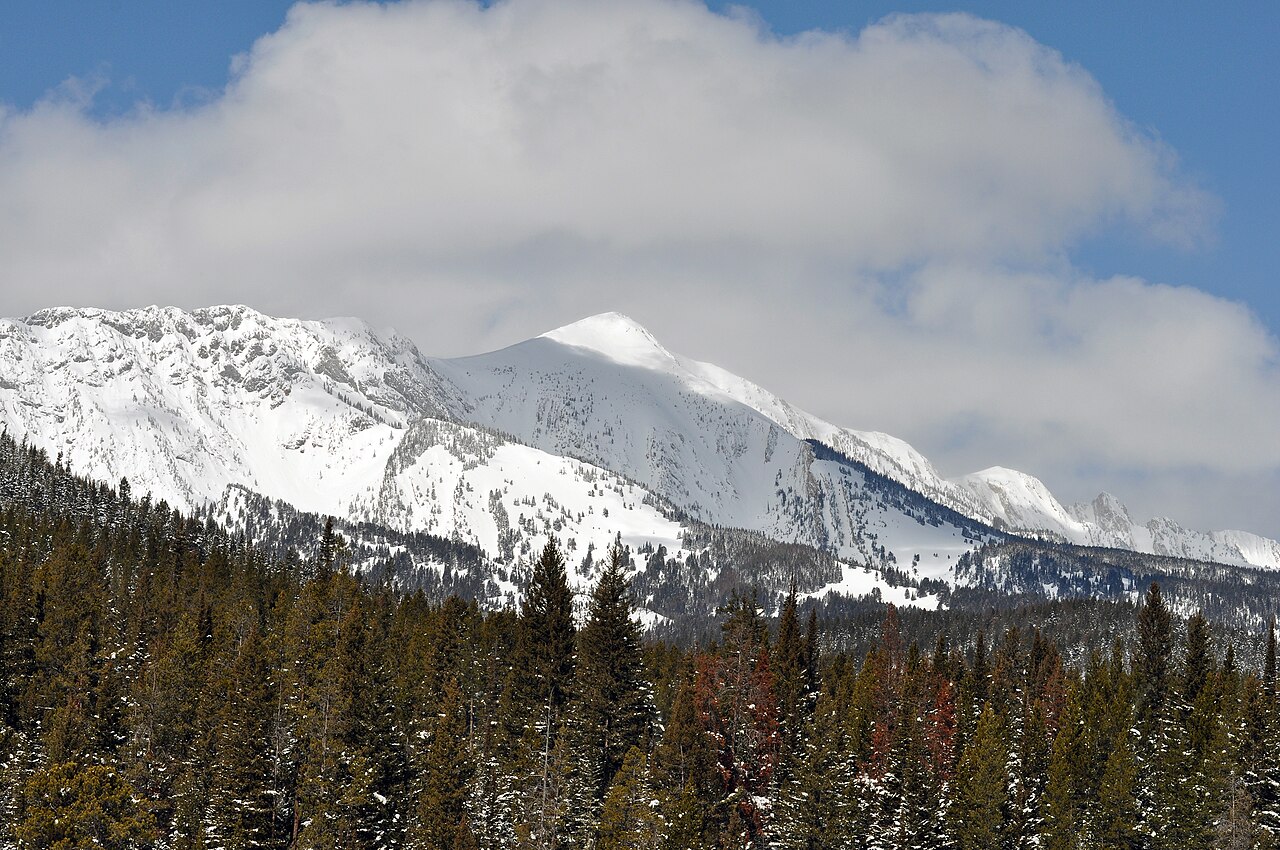 Sacagawea PeakSummit · ~57 min drivePhoto: Mike Cline, Public domain (via Wikimedia Commons)
 Electric PeakSummit · ~1h 2m drivePhoto: Yellowstone National Park from Yellowstone NP, USA, Public domain (via Wikimedia Commons)
 Mount DelanoSummit · ~1h 3m drivePhoto: U.S. Department of Agriculture, Public domain (via Wikimedia Commons)
 Livingston PeakSummit · ~1h 6m drivePhoto: Mike Cline, Public domain (via Wikimedia Commons)
 Gray PeakSummit · ~1h 6m drivePhoto: Bryan Harry, Public domain (via Wikimedia Commons)
 Sepulcher MountainSummit · ~1h 7m drivePhoto: Mike Cline, Public domain (via Wikimedia Commons)
 Terrace MountainSummit · ~1h 11m drivePhoto: R. G. Johnsson, Public domain (via Wikimedia Commons)
Best months: July–September. Best months have typical highs of 55–85 °F, lows of 30 °F or warmer (32 °F where the station doesn't record snow), at most one snowy day and no more than 12 wet days.
Jan
30° / 9°
13 wet
Feb
34° / 9°
11 wet
Mar
42° / 17°
12 wet
Apr
48° / 23°
11 wet
May
58° / 30°
14 wet
Jun
67° / 36°
14 wet
Jul
78° / 41°
11 wet
Aug
77° / 39°
11 wet
Sep
68° / 33°
10 wet
Oct
53° / 25°
10 wet
Nov
37° / 16°
11 wet
Dec
27° / 9°
14 wet
Typical high / low (°F) and days with rain or snow, 1991–2020. Measured at Big Sky 2wnw, MT, 12.9 mi away at 6,590 ft. The station sits about 700 ft lower than this place, so expect it a little cooler here. This station doesn't record snowfall. Source: NOAA NCEI U.S. Climate Normals 1991–2020.
Storm Castle Creek Trail #185 Temporarily Closed Due to Storm Damage
Bozeman Ranger District · Order dated August 7, 2026; seen Aug 23, 2026, no lift recorded · Forest Service

