Fr 62 Upper Hyalite Creek Road 070d
Campground
Campground · 1.9 mi from the trail
Closure in the area
There's a closure order in Bozeman Ranger District. It doesn't name Mount Blackmore, so check the source for the area it covers (17 listed).
Hyalite Canyon South Road Closure Order
Agency closure covering Bozeman Ranger District · Order 01-11-06-27-04 · USFS · Bozeman Ranger District
Sourdough/Bozeman Creek Trailhead and Trail Closure
Agency closure covering Bozeman Ranger District · Order 01-11-06-27-02 · USFS · Bozeman Ranger District
NFSR #1700 South Plateau Road Closure
Agency closure covering Custer Gallatin National Forest · USFS · Custer Gallatin National Forest
Storm Castle Creek Trail #185 Temporarily Closed Due to Storm Damage
Agency closure covering Bozeman Ranger District · Order 01-11-06-26-07 · USFS · Bozeman Ranger District
Hyalite Porcupine Buffalo Horn Summer Interim Travel Order and Map and Order # 01-11-00-26-02
Agency closure covering Custer Gallatin National Forest · Order 01-11-00-26-02 · USFS · Custer Gallatin National Forest
As of · Source: USFS · Bozeman Ranger District. Agencies don't list every closure — check before you go.
Mount Blackmore is a summit in the Bozeman Ranger District of Custer Gallatin National Forest in Montana. The nearest town is Emigrant, about 13 miles away. Storm Castle Ridge is a hike about 2 miles away. The Hyalite Canyon area is also close, with the Hyalite Canyon climbing area and the Hyalite Canyon Trail and Grotto Falls Trail for cross-country skiing, all about 2 miles off.
Fr 62 Upper Hyalite Creek Road 070d
Campground
Places © OpenStreetMap contributors
More in EmigrantDaily highs and lows, wind and the chance of precipitation at the summit and route start for the next 7 days, from the Open-Meteo model.
Elevation from USGS 3D Elevation Program terrain data (about 10 m resolution).
10,155 ft (3,095 m).
One: Blackmore.
Blackmore starts at BLACKMORE (about 7,164 ft).
Year-round.

Source: Roamze catalog (indexable pages within 10 miles, PostGIS distance)
Storm CastleSummit · ~18 min drivePhoto: Mike Cline, CC BY-SA 4.0 (via Wikimedia Commons) Mount DelanoSummit · ~45 min drivePhoto: U.S. Department of Agriculture, Public domain (via Wikimedia Commons)
 Fan MountainSummit · ~47 min drivePhoto: Mike Cline, CC BY-SA 4.0 (via Wikimedia Commons)
 Livingston PeakSummit · ~48 min drivePhoto: Mike Cline, Public domain (via Wikimedia Commons)
 Cedar MountainSummit · ~50 min drivePhoto: Mike Cline, CC BY-SA 4.0 (via Wikimedia Commons)
 The HelmetSummit · ~53 min drivePhoto: Mike Cline, CC BY-SA 4.0 (via Wikimedia Commons)
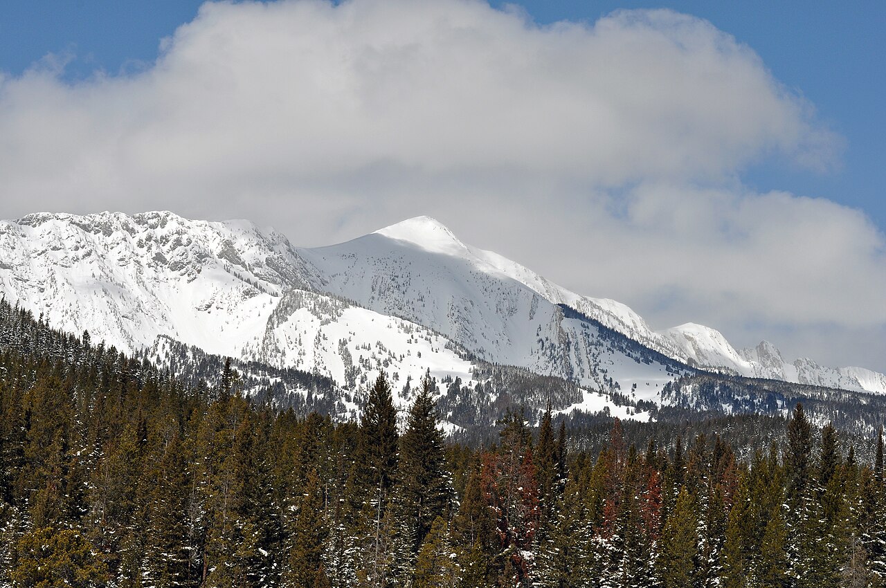 Sacagawea PeakSummit · ~53 min drivePhoto: Mike Cline, Public domain (via Wikimedia Commons)
 Electric PeakSummit · ~54 min drivePhoto: Yellowstone National Park from Yellowstone NP, USA, Public domain (via Wikimedia Commons)
 Sepulcher MountainSummit · ~57 min drivePhoto: Mike Cline, Public domain (via Wikimedia Commons)
 Gray PeakSummit · ~1h drivePhoto: Bryan Harry, Public domain (via Wikimedia Commons)
