Sheep Rock
 Photo: Forest Service - Northern Region, Public Domain Mark (via Flickr)
- 1.6 mi
- round trip
- 21 ft
- climb
- 5,347 ft
- high point
- Out and back
- route
Sheep Rock is an easy out-and-back hike of about 1.6 miles on natural trail surface in the Bozeman Ranger District of Custer Gallatin National Forest in Montana. The route rises from about 5,274 feet to about 5,347 feet, a total gain of about 73 feet, and it is a Forest Service trail on land managed by the Forest Service. Summer is the most comfortable time to visit. A nearby weather station at Bozeman records typical July highs around 83°F and lows near 51°F. The trail sits a few hundred feet higher than that station, so expect slightly cooler temperatures. The trail is open year round, and the parking area is at Storm Castle Snowpark. Bikes and horses are both allowed. Endless Summer Wall and Scorched Earth, two climbing areas, sit about 0.2 miles away. Indian Ridge is a hike 0.7 miles off, and Garnet Mountain Fire Lookout offers camping about 3 miles away.
Local outfitters
- Yellowstone Safari Company19 mi away
Not on Roamze yet. Their page has how to reach them.
Keep exploring — more trails worth the drive
Photo: Forest Service - Northern Region, Public Domain Mark (via Flickr)Indian Ridge
~1 min drive
26.35-mile out-and-back trail in Montana with 4,163 ft elevation gain.
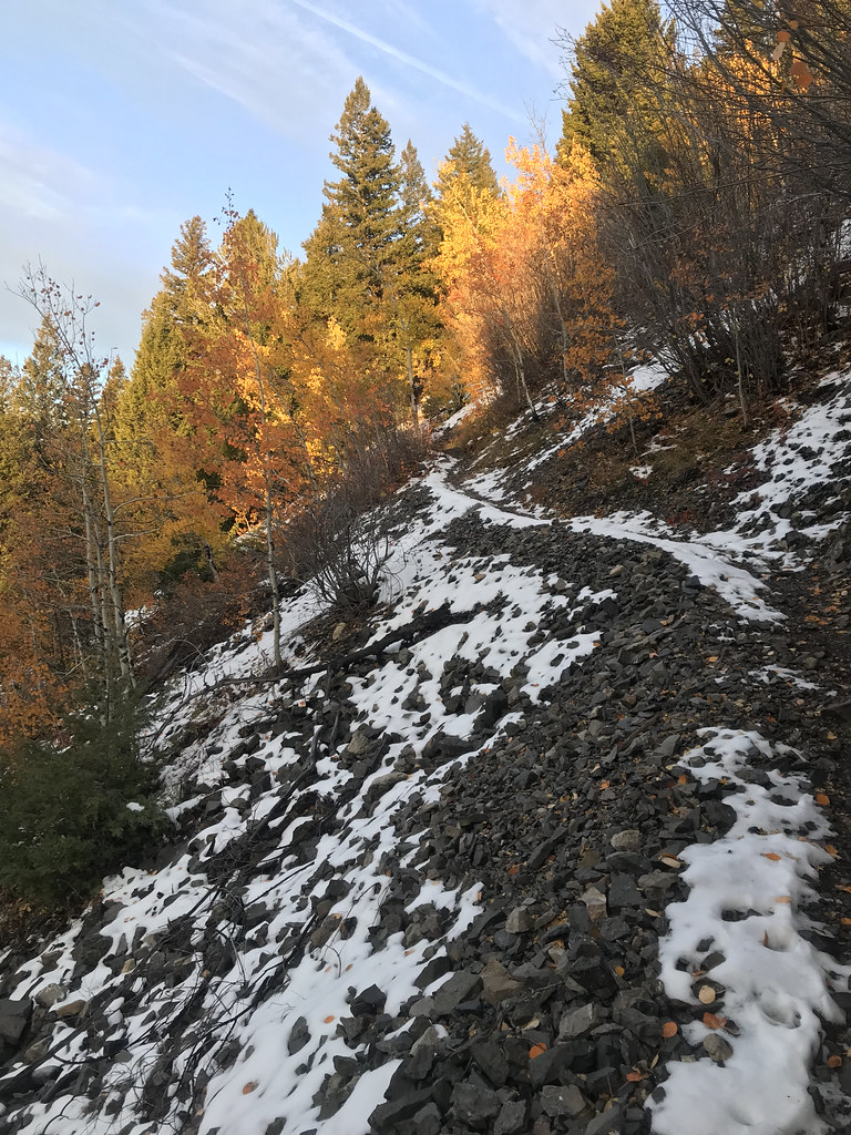 Photo: Forest Service - Northern Region, Public Domain Mark (via Flickr)
Storm Castle Mtn
~3 min drive
4.50-mile out-and-back trail in Montana with 3,075 ft elevation gain.
 Photo: Forest Service - Northern Region, Public Domain Mark (via Flickr)
GARNET MOUNTAIN
~6 min drive
1.48-mile out-and-back hike on Garnet Mountain in Montana with 711 ft gain
HIKE
North Fork Hellroaring
~8 min drive
11.66-mile out-and-back trail in Montana with 3,113 ft elevation gain.
HIKE
Hellroaring Creek
~5 min drive
21.45-mile out-and-back trail in Montana with 3,741 ft gain.
Photo: Forest Service - Northern Region, Public Domain Mark (via Flickr)Pioneer Lakes Trail
~6 min drive
7.22-mile out-and-back trail in Montana with 2,022 ft elevation gain and loss.
HIKE
Rat Lake Accessible
~8 min drive
Rat Lake Accessible is a 0.86-mile out-and-back trail in Montana with 164 ft of elevation gain.
HIKE
Lake of the Pines Trail
~12 min drive
14.16-mile out-and-back hike in Montana with 2,652 ft elevation gain and loss.
HIKE
WILSON CREEK
~8 min drive
6.74-mile out-and-back trail in Montana with 3,299 ft gain and 7,883 ft max elevation.
HIKE
LOWER PURDY CREEK
~6 min drive
3.08-mile out-and-back trail in Montana with 1,800 ft elevation gain and loss.

