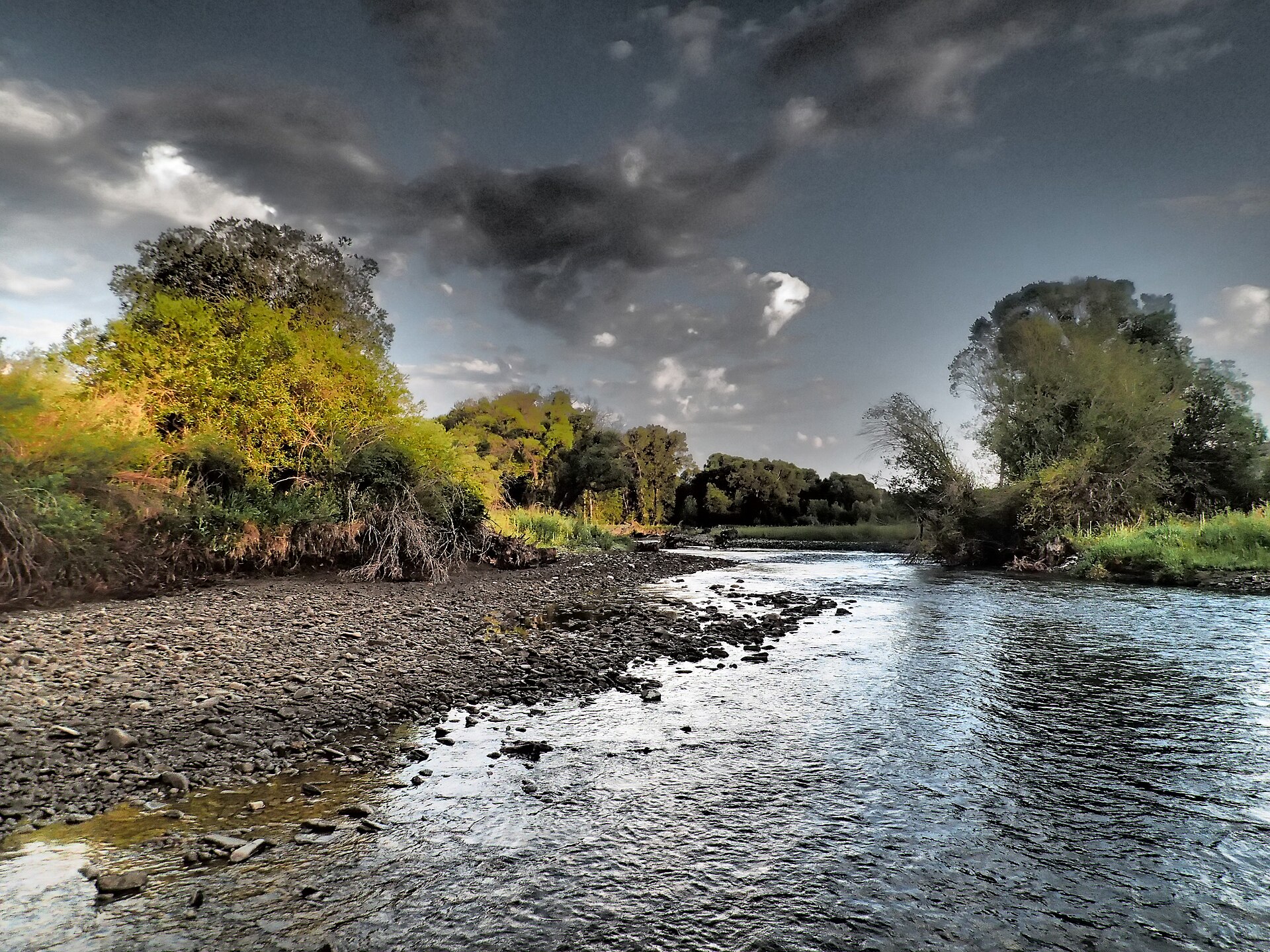
Loco Mountain
 Photo: Mike Cline, CC BY-SA 4.0 (via Wikimedia Commons)
- 9,244 ft
- summit
- 1
- way up
Is Loco Mountain open right now?
No closures listed
The Forest Service lists no closures for Helena-Lewis and Clark National Forest.
As of · Source: USFS · Helena-Lewis and Clark National Forest. Agencies don't list every closure — check before you go.
Loco Mountain is a summit of 9,244 feet in the Belt Creek-White Sulphur Springs Ranger District of the Helena-Lewis and Clark National Forest in Montana. The nearest town is Martinsdale, about 16 miles away. Several hikes start close by, including Crow Creek about 2 miles away and Loco Creek at about 2.4 miles. For an overnight base, Crandall Creek Cabin sits about 4 miles off, and Forest Lake Campground is about 5 miles away.
Conditions and forecast
Daily highs and lows, wind and the chance of precipitation at the summit and route start for the next 7 days, from the Open-Meteo model.
- Summit elevation
- 9,244 ft
Elevation from USGS 3D Elevation Program terrain data (about 10 m resolution).
Map © Mapbox © OpenStreetMap contributors Questions about Loco Mountain
How tall is Loco Mountain?
9,244 ft (2,818 m).
How many routes go to the summit of Loco Mountain?
One: Crow Creek.
- Mount Elmo8,115 ft · Montana1 route6.5 mi away
- Hatfield Mountain7,628 ft · Montana1 route32 mi away
- Naya Nuki Peak9,587 ft · Montana1 route38 mi away
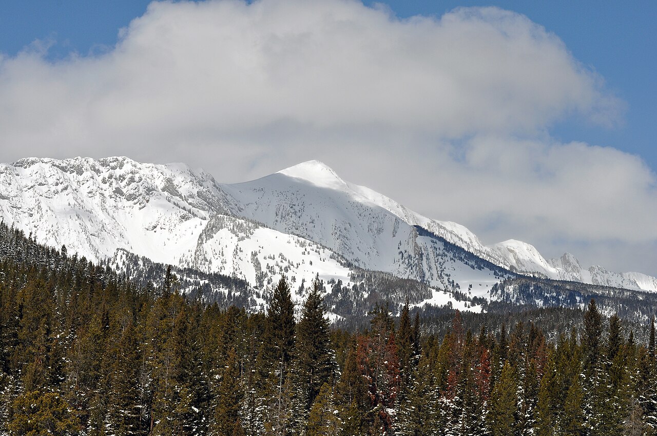 Sacagawea Peak9,664 ft · Montana1 route38 mi awayPhoto: Mike Cline, Public domain (via Wikimedia Commons)
- Sand Point8,214 ft · Montana1 route41 mi away
- Saddle Peak9,160 ft · Montana1 route42 mi away
- Crow CreekHiking1.8 mi
- Loco CreekHiking2.4 mi
- Loco Cr/castle Cr. ConnectorHiking2.4 mi
 Lodgepole CreekHikingPhoto: Forest Service - Northern Region, Public Domain Mark (via Flickr)2.5 mi
- Shields Big ElkHiking2.6 mi
- Crandall Creek CabinCamping4.3 mi
- Shields RiverCamping4.4 mi
- Forest Lake CgCamping5.1 mi
Source: Roamze catalog (indexable pages within 10 miles, PostGIS distance)
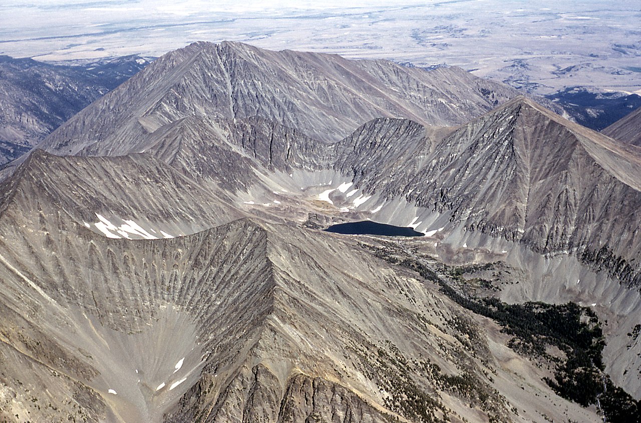 Crazy PeakSummit · ~25 min drivePhoto: Public domain (via Wikimedia Commons)
- Sacagawea PeakSummit · ~1h 5m drivePhoto: Mike Cline, Public domain (via Wikimedia Commons)
 Livingston PeakSummit · ~1h 16m drivePhoto: Mike Cline, Public domain (via Wikimedia Commons)
 Mount DelanoSummit · ~1h 24m drivePhoto: U.S. Department of Agriculture, Public domain (via Wikimedia Commons)
 Mount EdithSummit · ~1h 14m drivePhoto: Mike Cline, CC BY-SA 4.0 (via Wikimedia Commons)
- Mount ElmoSummit · ~11 min drive
- Naya Nuki PeakSummit · ~1h 5m drive
- Sand PointSummit · ~1h 11m drive
- Saddle PeakSummit · ~1h 11m drive
- Bridger PeakSummit · ~1h 12m drive
Also worth it near here