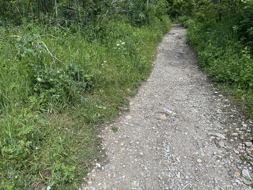
Saddle Peak
- 9,160 ft
- summit
- 1
- way up
Is Saddle Peak open right now?
Closure in the area
There's a closure order in Bozeman Ranger District. It doesn't name Saddle Peak, so check the source for the area it covers (17 listed).
Hyalite Canyon South Road Closure Order
Agency closure covering Bozeman Ranger District · Order 01-11-06-27-04 · USFS · Bozeman Ranger District
Sourdough/Bozeman Creek Trailhead and Trail Closure
Agency closure covering Bozeman Ranger District · Order 01-11-06-27-02 · USFS · Bozeman Ranger District
NFSR #1700 South Plateau Road Closure
Agency closure covering Custer Gallatin National Forest · USFS · Custer Gallatin National Forest
Storm Castle Creek Trail #185 Temporarily Closed Due to Storm Damage
Agency closure covering Bozeman Ranger District · Order 01-11-06-26-07 · USFS · Bozeman Ranger District
Hyalite Porcupine Buffalo Horn Summer Interim Travel Order and Map and Order # 01-11-00-26-02
Agency closure covering Custer Gallatin National Forest · Order 01-11-00-26-02 · USFS · Custer Gallatin National Forest
As of · Source: USFS · Bozeman Ranger District. Agencies don't list every closure — check before you go.
Saddle Peak is a summit in the Bozeman Ranger District of Custer Gallatin National Forest in Montana, about 2 miles from the town of Bridger. Two are worth knowing before a visit. Several other destinations sit close to the peak. The Bridger Foothills Trail, a mountain biking route, is half a mile away. The East Bridger South and Bostwick Canyon hikes are each a little over a mile off. Climbers will find the Lower Replica climbing area about 3 miles away.
Conditions and forecast
Daily highs and lows, wind and the chance of precipitation at the summit and route start for the next 7 days, from the Open-Meteo model.
- Summit elevation
- 9,160 ft
Elevation from USGS 3D Elevation Program terrain data (about 10 m resolution).
Map © Mapbox © OpenStreetMap contributors Questions about Saddle Peak
How tall is Saddle Peak?
9,160 ft (2,792 m).
How many routes go to the summit of Saddle Peak?
One: Bridger Ridge.
Where do the routes up Saddle Peak start?
Bridger Ridge starts at ROSS PASS (about 6,211 ft).
When is the best time to climb Saddle Peak?
Year-round.
- Bridger Peak8,645 ft · Montana1 route1.0 mi away
- Baldy Mountain8,914 ft · Montana1 route1.9 mi away
- Drinking Horse Mountain5,535 ft · Montana1 route6.3 mi away
- Naya Nuki Peak9,587 ft · Montana1 route6.8 mi away
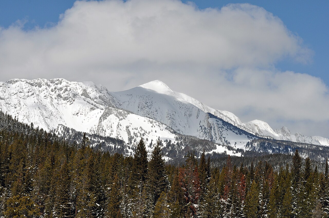 Sacagawea Peak9,664 ft · Montana1 route7.2 mi awayPhoto: Mike Cline, Public domain (via Wikimedia Commons)
- Chestnut Mountain7,683 ft · Montana1 route13 mi away
- Bridger Foothills TrailMountain biking0.5 mi
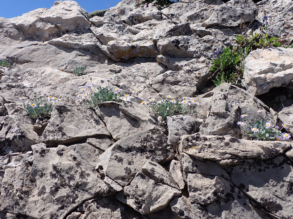 East Bridger SouthHikingPhoto: Matt Lavin, CC BY-SA 2.0 (via Flickr)1.1 mi
- Bostwick CanyonHiking1.3 mi
- Lower ReplicaRock climbing3 mi
- Wolverine BowlRock climbing3 mi
- Battle Ridge CabinCamping6 mi
- Battle RidgeCamping6.8 mi
 East Gallatin RiverCanoeingPhoto: Mike Cline, Public domain (via Wikimedia Commons)7.1 mi
Source: Roamze catalog (indexable pages within 10 miles, PostGIS distance)
- Sacagawea PeakSummit · ~12 min drivePhoto: Mike Cline, Public domain (via Wikimedia Commons)
 Livingston PeakSummit · ~46 min drivePhoto: Mike Cline, Public domain (via Wikimedia Commons)
 Storm CastleSummit · ~47 min drivePhoto: Mike Cline, CC BY-SA 4.0 (via Wikimedia Commons)
 Mount DelanoSummit · ~50 min drivePhoto: U.S. Department of Agriculture, Public domain (via Wikimedia Commons)
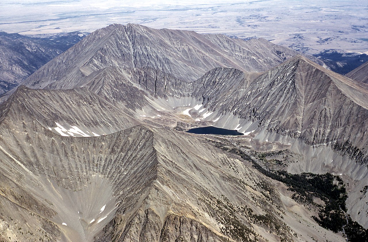 Crazy PeakSummit · ~1h 1m drivePhoto: Public domain (via Wikimedia Commons)
 Loco MountainSummit · ~1h 11m drivePhoto: Mike Cline, CC BY-SA 4.0 (via Wikimedia Commons)
 Fan MountainSummit · ~1h 16m drivePhoto: Mike Cline, CC BY-SA 4.0 (via Wikimedia Commons)
 Cedar MountainSummit · ~1h 22m drivePhoto: Mike Cline, CC BY-SA 4.0 (via Wikimedia Commons)
 Mount EdithSummit · ~1h 18m drivePhoto: Mike Cline, CC BY-SA 4.0 (via Wikimedia Commons)
- Bridger PeakSummit · ~2 min drive