Mountain · 1 route
Hatfield Mountain
7,628 ft · Montana
- Summit
- 7,628 ft
- Routes
- 1 way up
- Season
- Year-round
Route up Hatfield Mountain
About Hatfield Mountain
Hatfield Mountain is a summit in the Bozeman Ranger District of Custer Gallatin National Forest in Montana, about 10 miles from the town of Sedan. Miller Gulch is the closest neighbor, about 1.6 miles away. Middle Fork Sixteenmile Creek and South Fork Sixteenmile Creek offer canoeing within about 3 miles, and Horsethief Mountain is a hike roughly 5 miles off.
Forecast on Hatfield Mountain
Daily highs and lows, wind and the chance of precipitation at the summit and route start for the next 7 days, from the Open-Meteo model.
Questions about Hatfield Mountain
How tall is Hatfield Mountain?
7,628 ft (2,325 m).
How many routes go to the summit of Hatfield Mountain?
One: Hatfield Mountain.
Where do the routes up Hatfield Mountain start?
Hatfield Mountain starts at SIXTEENMILE CREEK (about 6,780 ft).
When is the best time to climb Hatfield Mountain?
Year-round.
Mountains nearby
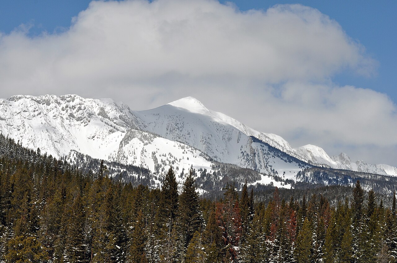 Sacagawea Peak9,664 ft · Montana1 route13 mi awayPhoto: Mike Cline, Public domain (via Wikimedia Commons)
- Naya Nuki Peak9,587 ft · Montana1 route14 mi away
- Saddle Peak9,160 ft · Montana1 route21 mi away
- Bridger Peak8,645 ft · Montana1 route21 mi away
- Baldy Mountain8,914 ft · Montana1 route22 mi away
- Drinking Horse Mountain5,535 ft · Montana1 route27 mi away
Facts about this place
Where it is
- Bozeman Ranger District · Ranger district
- Custer Gallatin National Forest · National forest
- Nearest town
- Sedan, Montana · 9.9 mi
Conditions
Active alerts for Bozeman Ranger District as of Oct 9, 2026:
Bicycle Use Restriction (Bozeman Area Time Share)
critical · posted Aug 24, 2026
Chestnut Mountain Trail Bicycle and Stock Restriction Order and Map
critical · posted Aug 24, 2026
Hyalite Drainage Recreational Target Shooting Restriction
caution · posted Aug 24, 2026
Pallet Possession Ban Order Number: #01-11-06-25-03
caution · posted Aug 24, 2026
Storm Castle Creek Trail #185 Temporarily Closed Due to Storm Damage
critical · posted Aug 24, 2026
Source: USFS forest alerts
Nearby
- Miller GulchHiking1.6 mi
- Middle Fork Sixteenmile CreekCanoeing2.3 mi
- South Fork Sixteenmile CreekCanoeing2.9 mi
- Quaw CreekHiking3.8 mi
- South Fork SixteenmileHiking4.6 mi
- Horsethief MountainHiking4.9 mi
- Elkhorn RidgeHiking5.8 mi
 Sixteenmile CreekCanoeingPhoto: Mike Cline, CC BY-SA 4.0 (via Wikimedia Commons)7.7 mi
Source: Roamze catalog (indexable pages within 10 miles, PostGIS distance)
Is Hatfield Mountain open right now?
Closure in the area
There's a closure order in Custer Gallatin National Forest. It doesn't name Hatfield Mountain, so check the source for the area it covers (15 listed).
NFSR #1700 South Plateau Road Closure
Agency closure covering Custer Gallatin National Forest · USFS · Custer Gallatin National Forest
Storm Castle Creek Trail #185 Temporarily Closed Due to Storm Damage
Agency closure covering Bozeman Ranger District · Order 01-11-06-26-07 · USFS · Bozeman Ranger District
Hyalite Porcupine Buffalo Horn Summer Interim Travel Order and Map and Order # 01-11-00-26-02
Agency closure covering Custer Gallatin National Forest · Order 01-11-00-26-02 · USFS · Custer Gallatin National Forest
Hyalite Porcupine Buffalo Horn Winter Interim Travel Order and Map Order Number: #01-11-00-26-01
Agency closure covering Custer Gallatin National Forest · USFS · Custer Gallatin National Forest
Glacier Lake Road #2421 Closure Order Number: # 01-11-82-26- 01
Agency closure covering Custer Gallatin National Forest · Order 01-11-82-26- · USFS · Custer Gallatin National Forest
As of · Source: USFS · Custer Gallatin National Forest. Agencies don't list every closure — check before you go.
