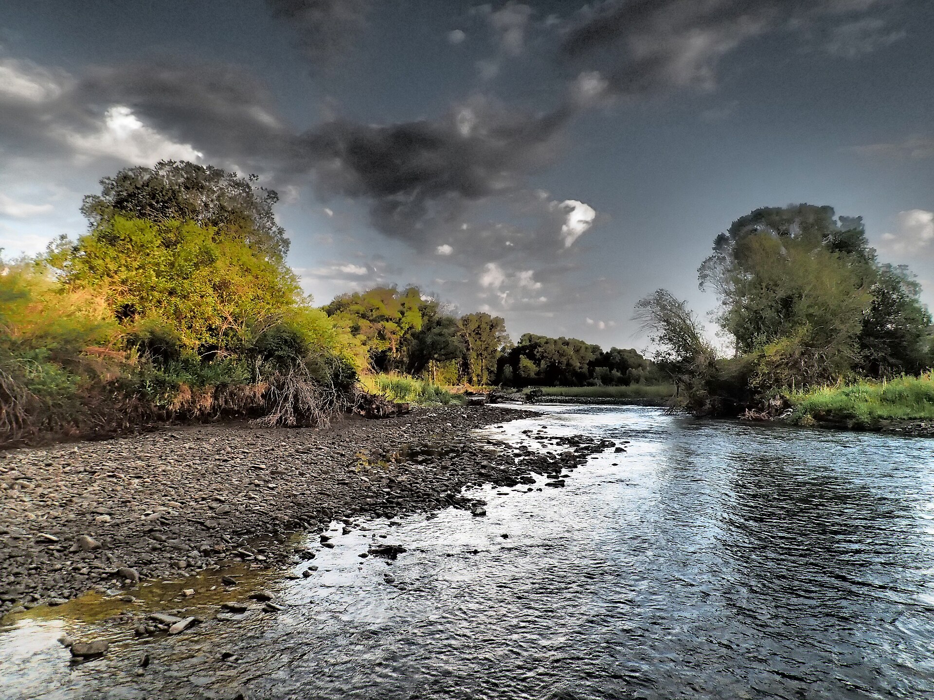
Lodgepole Creek
 Photo: Forest Service - Northern Region, Public Domain Mark (via Flickr)
- 4.5 mi
- round trip
- 935 ft
- climb
- 7,813 ft
- high point
- Out and back
- route
Caution at last check
Agency alerts are in effect for this area; weather is marginal · USFS, OpenWeather · checked 22 h ago
Is Lodgepole Creek open right now?
Closure in the area
There's a closure order in Yellowstone Ranger District. It doesn't name Lodgepole Creek, so check the source for the area it covers (13 listed).
East Fork of the Mill Creek Trail Bridge Stock Closure
Agency closure covering Yellowstone Ranger District · Order 01-11-04-26-03 · USFS · Yellowstone Ranger District
NFSR #1700 South Plateau Road Closure
Agency closure covering Custer Gallatin National Forest · USFS · Custer Gallatin National Forest
Hyalite Porcupine Buffalo Horn Summer Interim Travel Order and Map and Order # 01-11-00-26-02
Agency closure covering Custer Gallatin National Forest · Order 01-11-00-26-02 · USFS · Custer Gallatin National Forest
Hyalite Porcupine Buffalo Horn Winter Interim Travel Order and Map Order Number: #01-11-00-26-01
Agency closure covering Custer Gallatin National Forest · USFS · Custer Gallatin National Forest
Glacier Lake Road #2421 Closure Order Number: # 01-11-82-26- 01
Agency closure covering Custer Gallatin National Forest · Order 01-11-82-26- · USFS · Custer Gallatin National Forest
As of · Source: USFS · Yellowstone Ranger District. Agencies don't list every closure — check before you go.
Lodgepole Creek is a 4.5-mile out-and-back hike in Montana's Custer Gallatin National Forest, within the Yellowstone Ranger District. The trail climbs about 935 feet from a low point of 6,719 feet to a high of 7,813 feet, making it a moderate outing on natural surface. The Forest Service manages the land, and the trail is open year-round with a parking area named SHIELDSLOOP16. Horses are allowed, but bikes are not. That makes the route a good fit for riders on hoof and a less practical choice for those on two wheels. For a full day, the nearby Crow Creek hike lies about 3 miles away, and the Crandall Creek Cabin and Shields River campgrounds sit about 3.1 miles off. Loco Creek, another hike, is about 3.3 miles away.
Local outfitters
- Yellowstone Safari Company48 mi away
Not on Roamze yet. Their page has how to reach them.
- Crow CreekHiking3 mi
- Crandall Creek CabinCamping3.1 mi
- Shields RiverCamping3.1 mi
- Loco CreekHiking3.3 mi
- Shields Big ElkHiking3.7 mi
- Loco Cr/castle Cr. ConnectorHiking3.8 mi
- Forest Lake CgCamping6 mi
- Porcupine CabinCamping8.2 mi
Source: Roamze catalog (indexable pages within 10 miles, PostGIS distance)
 Lower Smith Connector TrailHiking · ~15 min drivePhoto: Forest Service - Northern Region, Public Domain Mark (via Flickr)
 Bitter Creek TrailHiking · ~16 min drivePhoto: Forest Service - Northern Region, Public Domain Mark (via Flickr)
 Big Timber CreekHiking · ~17 min drivePhoto: Matt Lavin, CC BY-SA 2.0 (via Flickr)
- Upper Scab Rock TrailHiking · ~16 min drivePhoto: Forest Service - Northern Region, Public Domain Mark (via Flickr)
- Loco MtnHiking · ~8 min drive
- Crow CreekHiking · ~5 min drive
- Lower Scab Rock TrailHiking · ~17 min drivePhoto: Forest Service - Northern Region, Public Domain Mark (via Flickr)
- South Fork American ForkHiking · ~8 min drive
- Shields Big ElkHiking · ~6 min drive
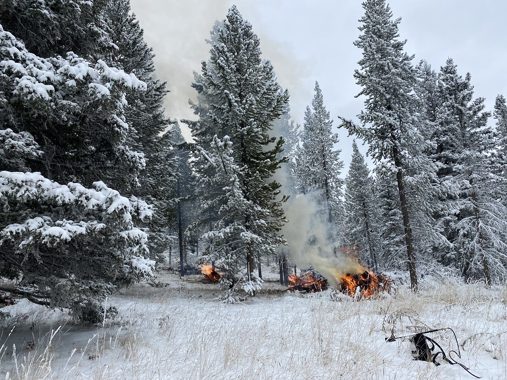 Upper Smith Connector TrailHiking · ~17 min drivePhoto: Forest Service - Northern Region, Public Domain Mark (via Flickr)