Crazy Peak
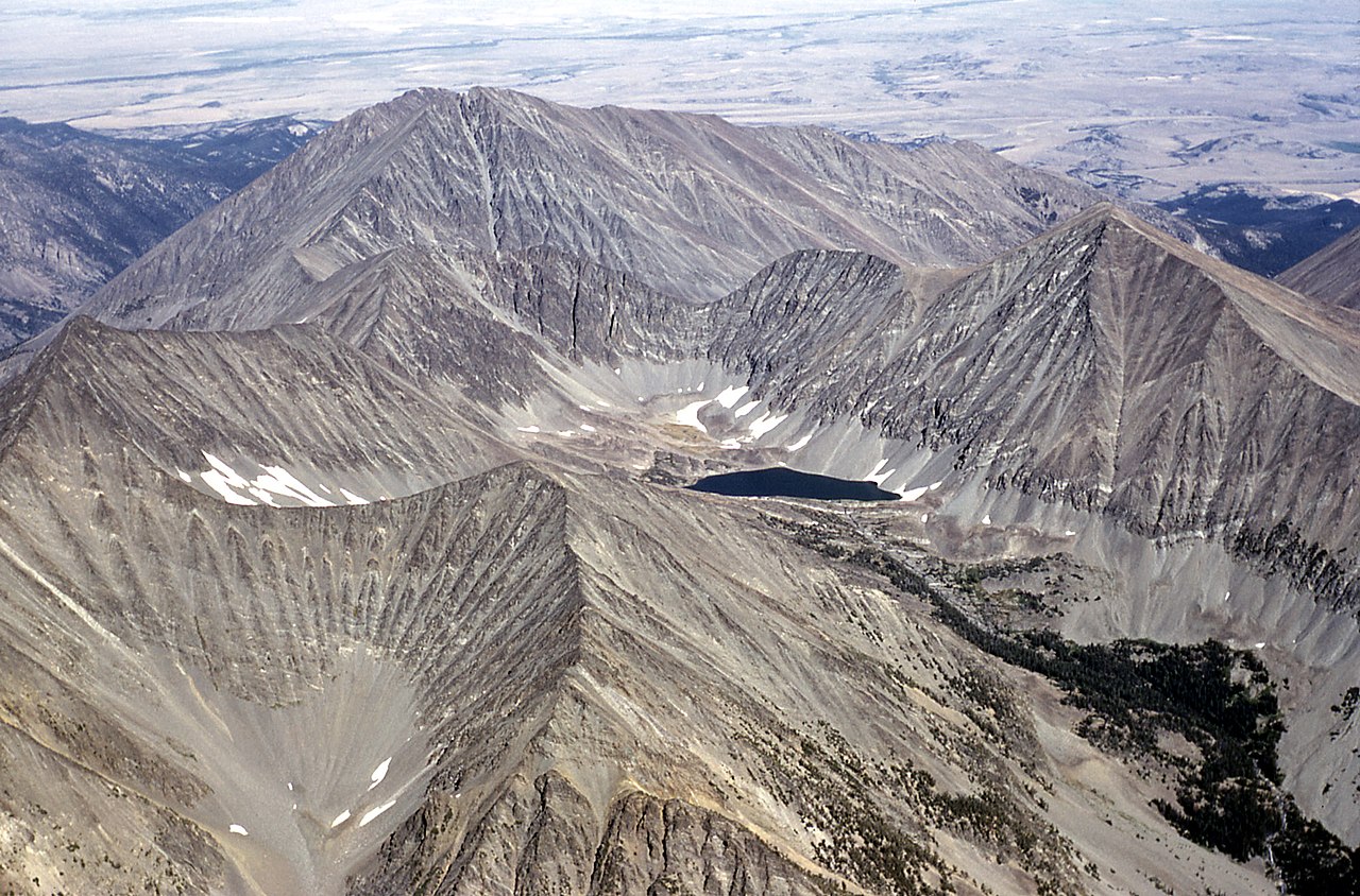 Photo: Public domain (via Wikimedia Commons)
- 11,214 ft
- summit
Is Crazy Peak open right now?
Closure in the area
There's a closure order in Yellowstone Ranger District. It doesn't name Crazy Peak, so check the source for the area it covers (13 listed).
East Fork of the Mill Creek Trail Bridge Stock Closure
Agency closure covering Yellowstone Ranger District · Order 01-11-04-26-03 · USFS · Yellowstone Ranger District
NFSR #1700 South Plateau Road Closure
Agency closure covering Custer Gallatin National Forest · USFS · Custer Gallatin National Forest
Hyalite Porcupine Buffalo Horn Summer Interim Travel Order and Map and Order # 01-11-00-26-02
Agency closure covering Custer Gallatin National Forest · Order 01-11-00-26-02 · USFS · Custer Gallatin National Forest
Hyalite Porcupine Buffalo Horn Winter Interim Travel Order and Map Order Number: #01-11-00-26-01
Agency closure covering Custer Gallatin National Forest · USFS · Custer Gallatin National Forest
Glacier Lake Road #2421 Closure Order Number: # 01-11-82-26- 01
Agency closure covering Custer Gallatin National Forest · Order 01-11-82-26- · USFS · Custer Gallatin National Forest
As of · Source: USFS · Yellowstone Ranger District. Agencies don't list every closure — check before you go.
Crazy Peak is a summit of about 11,214 feet in Sweet Grass County, Montana, within the Yellowstone Ranger District of Custer Gallatin National Forest. The nearest town is Clyde Park, about 18 miles away. Close by are the hikes to Blue Lake and Big Timber Falls, the Big Timber Creek trail, and Halfmoon Campground, all within about two and a half miles.
Conditions and forecast
Daily highs and lows, wind and the chance of precipitation at the summit for the next 7 days, from the Open-Meteo model.
- Summit elevation
- 11,214 ft
Elevation from USGS 3D Elevation Program terrain data (about 10 m resolution).
We don't know of a mapped trail or route to the summit of Crazy Peak. Plan the approach with local maps, a guidebook or a local guide, and check conditions before you go.
Questions about Crazy Peak
How tall is Crazy Peak?
11,214 ft (3,418 m).
Is there a trail to the top of Crazy Peak?
We don't know of a mapped trail or route to the summit. Plan the approach with local maps, a guidebook or a local guide.
 Loco Mountain9,244 ft · Montana1 route15 mi awayPhoto: Mike Cline, CC BY-SA 4.0 (via Wikimedia Commons)
- Mount Elmo8,115 ft · Montana1 route20 mi away
- Hatfield Mountain7,628 ft · Montana1 route34 mi away
- Naya Nuki Peak9,587 ft · Montana1 route34 mi away
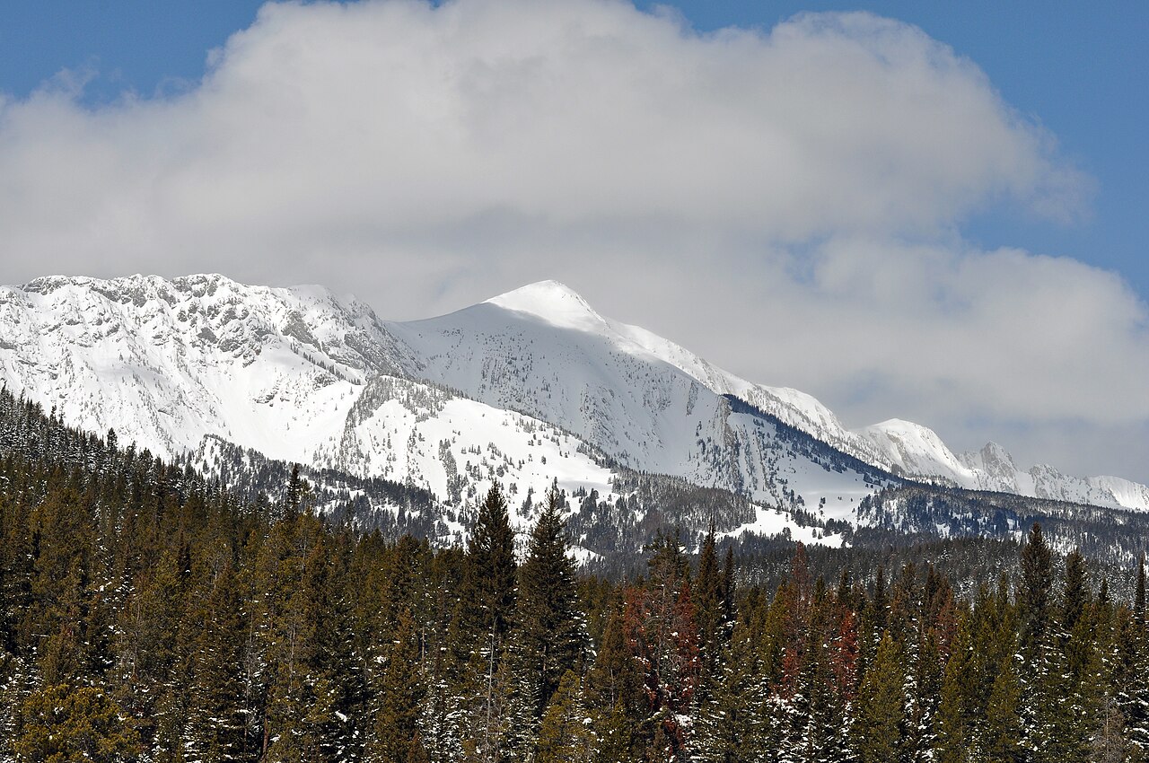 Sacagawea Peak9,664 ft · Montana1 route34 mi awayPhoto: Mike Cline, Public domain (via Wikimedia Commons)
- Saddle Peak9,160 ft · Montana1 route35 mi away
 Blue LakeHikingPhoto: Matt Lavin, CC BY-SA 2.0 (via Flickr)1.9 mi
- Big Timber CreekHikingPhoto: Matt Lavin, CC BY-SA 2.0 (via Flickr)2 mi
- Big Timber FallsHiking2.3 mi
- Halfmoon CampgroundCamping2.4 mi
- Smeller LakeHiking3 mi
- Cottonwood LakeHiking4.4 mi
- Swamp LakeHiking4.6 mi
- Ibex CabinCamping8 mi
Source: Roamze catalog (indexable pages within 10 miles, PostGIS distance)
- Loco MountainSummit · ~25 min drivePhoto: Mike Cline, CC BY-SA 4.0 (via Wikimedia Commons)
 Livingston PeakSummit · ~53 min drivePhoto: Mike Cline, Public domain (via Wikimedia Commons)
- Sacagawea PeakSummit · ~59 min drivePhoto: Mike Cline, Public domain (via Wikimedia Commons)
 Mount DelanoSummit · ~1h 1m drivePhoto: U.S. Department of Agriculture, Public domain (via Wikimedia Commons)
- Mount ElmoSummit · ~34 min drive
- Elephanthead MountainSummit · ~56 min drive
- Naya Nuki PeakSummit · ~59 min drive
- Saddle PeakSummit · ~1h 1m drive
- Bridger PeakSummit · ~1h 2m drive
- Drinking Horse MountainSummit · ~1h 8m drive
