Yellowstone Safari Company
Hiking business nearby (~41 mi away) — hasn't claimed their Roamze page yet
10.28-mile out-and-back trail in Montana with 2,235 ft elevation gain
Closure in the area
There's a closure order in Custer Gallatin National Forest. It doesn't name Sky Rim Trail, so check the source for the area it covers (14 listed).
NFSR #1700 South Plateau Road Closure
Agency closure covering Custer Gallatin National Forest · USFS · Custer Gallatin National Forest
Tom Miner Campground Closure
Agency closure covering Gardiner Ranger District · Order 01-11-03-26-02 · USFS · Gardiner Ranger District
Hyalite Porcupine Buffalo Horn Summer Interim Travel Order and Map and Order # 01-11-00-26-02
Agency closure covering Custer Gallatin National Forest · Order 01-11-00-26-02 · USFS · Custer Gallatin National Forest
Hyalite Porcupine Buffalo Horn Winter Interim Travel Order and Map Order Number: #01-11-00-26-01
Agency closure covering Custer Gallatin National Forest · USFS · Custer Gallatin National Forest
Glacier Lake Road #2421 Closure Order Number: # 01-11-82-26- 01
Agency closure covering Custer Gallatin National Forest · Order 01-11-82-26- · USFS · Custer Gallatin National Forest
As of · Source: USFS · Custer Gallatin National Forest. Agencies don't list every closure — check before you go.
Sky Rim Trail is a 10.3-mile hike in the Gardiner Ranger District of Custer Gallatin National Forest in Montana, managed by the Forest Service. It is an out-and-back route that climbs from about 9,266 feet to a high point of 10,094 feet, with a total elevation gain of 7,871 feet over the round trip. The trail is rated expert, and the climb is steep, with the most significant gain coming in the second half of the route. The trail starts at a base elevation of about 9,266 feet and reaches a high point of about 10,094 feet. The total round-trip distance is about 20.6 miles, and the route drops back to the starting point after the climb. Nearby, the Sunlight hike is about a mile away, and the Tom Miner Divide South mountain biking route is about 1.6 miles off. Tom Miner Campground is about 2.2 miles away, and the Big Sky Grit climbing area is about 5.8 miles away.
 Photo: Greg Willis from Denver, CO, usa, CC BY-SA 2.0 (via Wikimedia Commons)
Sunlight
~2 min drive
3.74-mile out-and-back trail in Montana with 821 ft of elevation gain.
Photo: Greg Willis from Denver, CO, usa, CC BY-SA 2.0 (via Wikimedia Commons)Buffalo Horn Pass
~4 min drive
4.56-mile out-and-back trail in Montana with 1,417 ft elevation gain.
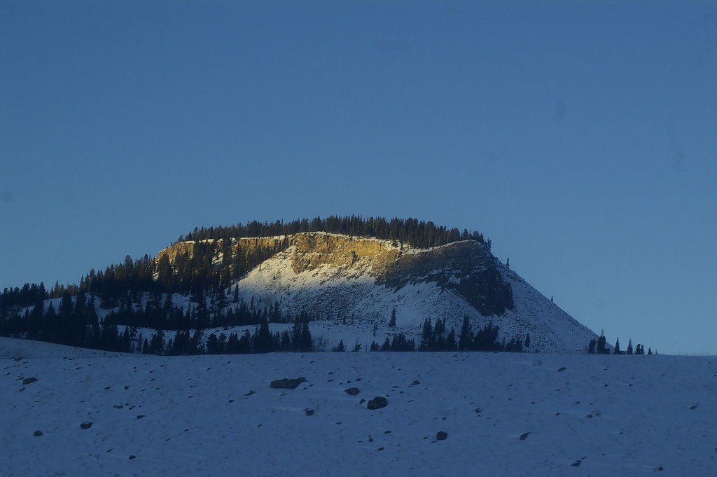 Photo: hesyifei, CC BY-SA 2.0 (via Flickr)
Dailey Creek Trailhead (WK1)
~8 min drive
This trailhead along Highway 191 in the western part of the park provides access to one trail: Dailey Creek Trail Dailey Creek Trail A strenuous 10-mile (16-km) there-and-back trail that starts near Dailey Creek and heads up to Dailey Pass, where you can reach the Sky Rim T…
 Photo: isydia Vibes, Public Domain Mark (via Flickr)
Specimen Creek Trail
~11 min drive
8.62-mile out-and-back hike in Montana with 2,935 ft elevation gain.
Black Butte Trail
~6 min drive
5.86-mile out-and-back trail in Montana with 399 ft gain and 3,402 ft loss.
 Photo: Greg Willis from Denver, CO, usa, CC BY-SA 2.0 (via Wikimedia Commons)
RAMSHORN LAKE
~5 min drive
1.12-mile out-and-back trail to Ramhorn Lake in Montana with 213 ft of elevation gain.
Photo: Greg Willis from Denver, CO, usa, CC BY-SA 2.0 (via Wikimedia Commons)Tom Miner Divide Trail
~4 min drive
3.54-mile out-and-back trail in Montana with 1,782 ft of elevation gain
Photo: hesyifei, CC BY-SA 2.0 (via Flickr)Black Butte Trailhead (WK2)
~8 min drive
The Black Butte trailhead is on the northwest side of Yellowstone near US Highway 191. From this trailhead, you can embark on the following trail: Black Butte Trail Black Butte Trail This is a strenuous 11.4-miles (18.3 km) there-and-back trail that climbs 3,100 feet (945 m…
 Photo: Forest Service - Northern Region, Public Domain Mark (via Flickr)
Elk Horn
~14 min drive
9.64-mile out-and-back trail in Montana with 1,272 ft gain.
Petrified Interpretive
~4 min drive
1.62-mile out-and-back trail in Montana with 593 ft gain
Also worth it near here
About 10.3 mi round trip.
About 7,871 ft of climbing round trip.
It is rated expert.
About 4.5 hours round trip.
Daily highs and lows, wind and the chance of precipitation at the summit and route start for the next 7 days, from the Open-Meteo model.
Outfitters and businesses. They haven’t set up their Roamze page yet.
Yellowstone Safari Company
Hiking business nearby (~41 mi away) — hasn't claimed their Roamze page yet
