Cinnamon Mountain
- 9,238 ft
- summit
- 1
- way up
Is Cinnamon Mountain open right now?
Closure in the area
There's a closure order in Custer Gallatin National Forest. It doesn't name Cinnamon Mountain, so check the source for the area it covers (16 listed).
NFSR #1700 South Plateau Road Closure
Agency closure covering Custer Gallatin National Forest · USFS · Custer Gallatin National Forest
Lonesomewood Prescribed Fire Area, Road, and Trail Closure
Agency closure covering Hebgen Lake Ranger District · Order 01-11-07-26-03 · USFS · Hebgen Lake Ranger District
South Plateau Road #1700 Opening Delayed
Agency closure covering Hebgen Lake Ranger District · USFS · Hebgen Lake Ranger District
Hyalite Porcupine Buffalo Horn Summer Interim Travel Order and Map and Order # 01-11-00-26-02
Agency closure covering Custer Gallatin National Forest · Order 01-11-00-26-02 · USFS · Custer Gallatin National Forest
Hyalite Porcupine Buffalo Horn Winter Interim Travel Order and Map Order Number: #01-11-00-26-01
Agency closure covering Custer Gallatin National Forest · USFS · Custer Gallatin National Forest
As of · Source: USFS · Custer Gallatin National Forest. Agencies don't list every closure — check before you go.
Cinnamon Mountain is a summit in the Hebgen Lake Ranger District of Custer Gallatin National Forest in southwest Montana, about 9 miles from the town of Big Sky. Trails start close by. Cinnamon Lookout is under a mile away and Cinnamon Buck is about a mile off. Climbers can head to Buddha Belly Wall, roughly 3 miles away, and Red Cliff campground sits about 3 miles out for an overnight base.
Conditions and forecast
Daily highs and lows, wind and the chance of precipitation at the summit and route start for the next 7 days, from the Open-Meteo model.
- Summit elevation
- 9,238 ft
Elevation from USGS 3D Elevation Program terrain data (about 10 m resolution).
Map © Mapbox © OpenStreetMap contributors Questions about Cinnamon Mountain
How tall is Cinnamon Mountain?
9,238 ft (2,816 m).
How many routes go to the summit of Cinnamon Mountain?
One: Cinnamon Lookout.
When is the best time to climb Cinnamon Mountain?
June 1 – November 30.
- Cinnamon LookoutHiking0.8 mi
- Cinnamon BuckHiking1.1 mi
- Buddha Belly WallRock climbing2.7 mi
- Buck CreekRock climbing2.7 mi
- Red CliffCamping3.3 mi
- Wapiti CabinCamping6.2 mi
- Taylor CreekCanoeing6.9 mi
- West Fork Gallatin RiverCanoeing9.5 mi
Source: Roamze catalog (indexable pages within 10 miles, PostGIS distance)
 The HelmetSummit · ~20 min drivePhoto: Mike Cline, CC BY-SA 4.0 (via Wikimedia Commons)
 Cedar MountainSummit · ~23 min drivePhoto: Mike Cline, CC BY-SA 4.0 (via Wikimedia Commons)
 Fan MountainSummit · ~29 min drivePhoto: Mike Cline, CC BY-SA 4.0 (via Wikimedia Commons)
 Storm CastleSummit · ~38 min drivePhoto: Mike Cline, CC BY-SA 4.0 (via Wikimedia Commons)
 Electric PeakSummit · ~39 min drivePhoto: Yellowstone National Park from Yellowstone NP, USA, Public domain (via Wikimedia Commons)
 Gray PeakSummit · ~39 min drivePhoto: Bryan Harry, Public domain (via Wikimedia Commons)
 Sepulcher MountainSummit · ~45 min drivePhoto: Mike Cline, Public domain (via Wikimedia Commons)
 Echo PeakSummit · ~47 min drivePhoto: J. P. Iddings, Public domain (via Wikimedia Commons)
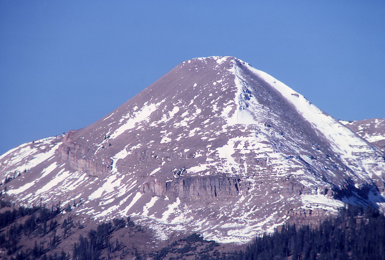 Antler PeakSummit · ~47 min drivePhoto: J Schmidt, Public domain (via Wikimedia Commons)
 Terrace MountainSummit · ~49 min drivePhoto: R. G. Johnsson, Public domain (via Wikimedia Commons)
Also worth it near here


