
Yellowstone Safari Company
Hiking business nearby (~43 mi away) — hasn't claimed their Roamze page yet
2.18-mile out-and-back trail in Montana with 840 ft elevation gain.
Closure in the area
There's a closure order in Yellowstone National Park. It doesn't name Black Butte-Daly Creek Cutoff Trail, so check the source for the area it covers (2 listed).
Temporary Road Closure - Dunraven & Sylvan Pass
Park closure covering Yellowstone National Park · NPS · Yellowstone National Park
Biscuit Basin Closed Due to Hydrothermal Explosion
Park closure covering Yellowstone National Park · NPS · Yellowstone National Park
Stay Away From Bull Elk
Park alert covering Yellowstone National Park · NPS · Yellowstone National Park
As of · Source: NPS · Yellowstone National Park. Agencies don't list every closure — check before you go.
Best months: July–September. Best months have typical highs of 55–85 °F, lows of 30 °F or warmer (32 °F where the station doesn't record snow), at most one snowy day and no more than 12 wet days.
Jan
30° / 9°
13 wet
Feb
34° / 9°
11 wet
Mar
42° / 17°
12 wet
Apr
48° / 23°
11 wet
May
58° / 30°
14 wet
Jun
67° / 36°
14 wet
Jul
78° / 41°
11 wet
Aug
77° / 39°
11 wet
Sep
68° / 33°
10 wet
Oct
53° / 25°
10 wet
Nov
37° / 16°
11 wet
Dec
27° / 9°
14 wet
Typical high / low (°F) and days with rain or snow, 1991–2020. Measured at Big Sky 2wnw, MT, 17.5 mi away at 6,590 ft. The station sits about 1,200 ft lower than this place, so expect it a little cooler here. This station doesn't record snowfall. Source: NOAA NCEI U.S. Climate Normals 1991–2020.
The Black Butte-Daly Creek Cutoff Trail is a 2.18-mile moderate hike in Yellowstone National Park in Montana, managed by the National Park Service. The route is an out-and-back that covers about 4.4 miles round trip, with a total elevation gain of 1,158 feet. The trail rises from a low point of about 7,066 feet to a high of about 7,761 feet, and the steepest stretch comes at about 1.8 miles in, with a grade of 18 percent. Summer is the most comfortable time to go. Typical averages from a nearby weather station at Big Sky put July highs around 78°F with lows near 41°F, and the station sits roughly 1,200 feet lower than the trail's high point, so temperatures on the summit run cooler. A fee is charged for the hike. The Daly Creek Trail starts just 0.1 mile away, and the Daly Creek Spur Trail is about 0.8 mile off. Crown Butte is about 1.6 miles away, and Tom Miner Campground is about 5 miles away.
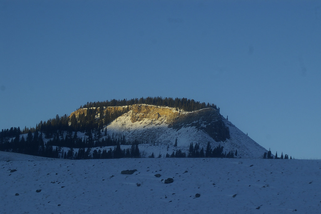 Photo: hesyifei, CC BY-SA 2.0 (via Flickr)
Dailey Creek Trailhead (WK1)
~3 min drive
This trailhead along Highway 191 in the western part of the park provides access to one trail: Dailey Creek Trail Dailey Creek Trail A strenuous 10-mile (16-km) there-and-back trail that starts near Dailey Creek and heads up to Dailey Pass, where you can reach the Sky Rim T…
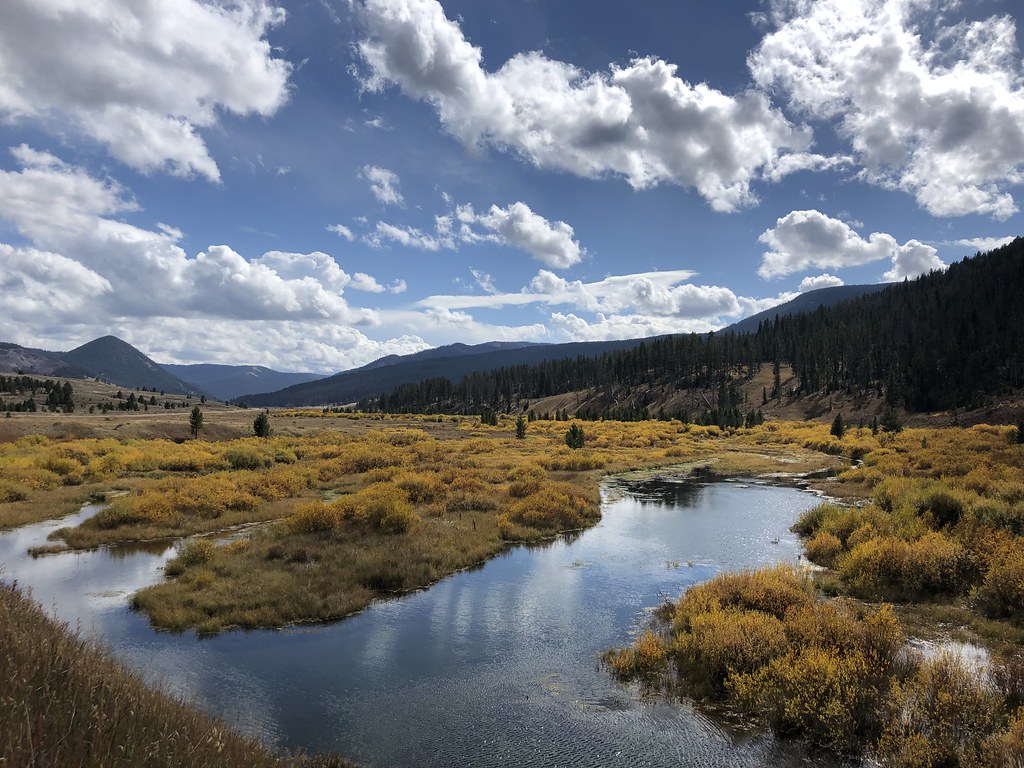 Photo: Forest Service - Northern Region, Public Domain Mark (via Flickr)
Teepee Creek
~3 min drive
9.05-mile out-and-back trail in Montana with 1,114 ft elevation gain.
 Photo: Greg Willis from Denver, CO, usa, CC BY-SA 2.0 (via Wikimedia Commons)
Sunlight
~6 min drive
3.74-mile out-and-back trail in Montana with 821 ft of elevation gain.
 Photo: isydia Vibes, Public Domain Mark (via Flickr)
Specimen Creek Trail
~7 min drive
8.62-mile out-and-back hike in Montana with 2,935 ft elevation gain.
 Photo: hesyifei, CC BY-SA 2.0 (via Flickr)
Fawn Pass Trail
~15 min drive
20.05-mile out-and-back trail in Montana with 2,373 ft elevation gain
Photo: hesyifei, CC BY-SA 2.0 (via Flickr)Black Butte Trailhead (WK2)
~4 min drive
The Black Butte trailhead is on the northwest side of Yellowstone near US Highway 191. From this trailhead, you can embark on the following trail: Black Butte Trail Black Butte Trail This is a strenuous 11.4-miles (18.3 km) there-and-back trail that climbs 3,100 feet (945 m…
 Photo: Greg Willis from Denver, CO, usa, CC BY-SA 2.0 (via Wikimedia Commons)
Tom Miner Divide South
~8 min drive
3.75-mile out-and-back trail in Montana with 658 ft gain.
Photo: Greg Willis from Denver, CO, usa, CC BY-SA 2.0 (via Wikimedia Commons)RAMSHORN LAKE
~8 min drive
1.12-mile out-and-back trail to Ramhorn Lake in Montana with 213 ft of elevation gain.
 Photo: Forest Service - Northern Region, Public Domain Mark (via Flickr)
Elk Horn
~14 min drive
9.64-mile out-and-back trail in Montana with 1,272 ft gain.
Black Butte Trail
~4 min drive
5.86-mile out-and-back trail in Montana with 399 ft gain and 3,402 ft loss.
Outfitters and businesses. They haven’t set up their Roamze page yet.
Yellowstone Safari Company
Hiking business nearby (~43 mi away) — hasn't claimed their Roamze page yet
