Fr984-08 Mm3.5
Campground
Campground · 2.6 mi from the trail
Closure in the area
There's a closure order in Bozeman Ranger District. It doesn't name Outer Limits Boulder, The, so check the source for the area it covers (16 listed).
Sourdough/Bozeman Creek Trailhead and Trail Closure
Agency closure covering Bozeman Ranger District · Order 01-11-06-27-02 · USFS · Bozeman Ranger District
NFSR #1700 South Plateau Road Closure
Agency closure covering Custer Gallatin National Forest · USFS · Custer Gallatin National Forest
Storm Castle Creek Trail #185 Temporarily Closed Due to Storm Damage
Agency closure covering Bozeman Ranger District · Order 01-11-06-26-07 · USFS · Bozeman Ranger District
Hyalite Porcupine Buffalo Horn Summer Interim Travel Order and Map and Order # 01-11-00-26-02
Agency closure covering Custer Gallatin National Forest · Order 01-11-00-26-02 · USFS · Custer Gallatin National Forest
Hyalite Porcupine Buffalo Horn Winter Interim Travel Order and Map Order Number: #01-11-00-26-01
Agency closure covering Custer Gallatin National Forest · USFS · Custer Gallatin National Forest
As of · Source: USFS · Bozeman Ranger District. Agencies don't list every closure — check before you go.
The Outer Limits Boulder is a bouldering area in Montana's Custer Gallatin National Forest, within the Bozeman Ranger District. The Forest Service manages the land. The name suggests a cluster of boulders rather than a single formation, and it sits among other climbing spots in the district. The bouldering here is all on the same rock, and the routes run from V2 to V8, with V4 as the median grade. That gives climbers a range from easy to hard, with Galactic Tide at the top. First ascents are listed for several of the named routes, including Friendly Vibes (V2) and The Tunguska Event (V7). The Blunted Boulder and District Three (The Drainage) are both about 0.1 mile away, so it's easy to pair them with this spot. For a change of pace, HIDDEN LAKES is a hike about 1.2 miles off, and the Gallatin River is roughly 3.9 miles away.
Fr984-08 Mm3.5
Campground
Places © OpenStreetMap contributors
More in Emigrant Gallatin RiverCanoeingPhoto: Jim from Lexington, KY, USA, CC BY-SA 2.0 (via Wikimedia Commons)3.9 mi
Source: Roamze catalog (indexable pages within 10 miles, PostGIS distance)
 Big Sky AreaRock climbing · ~15 min drivePhoto: Peter Fisher-Duke (z…, CC BY-SA 3.0 (via Wikimedia Commons)
Also worth it near here
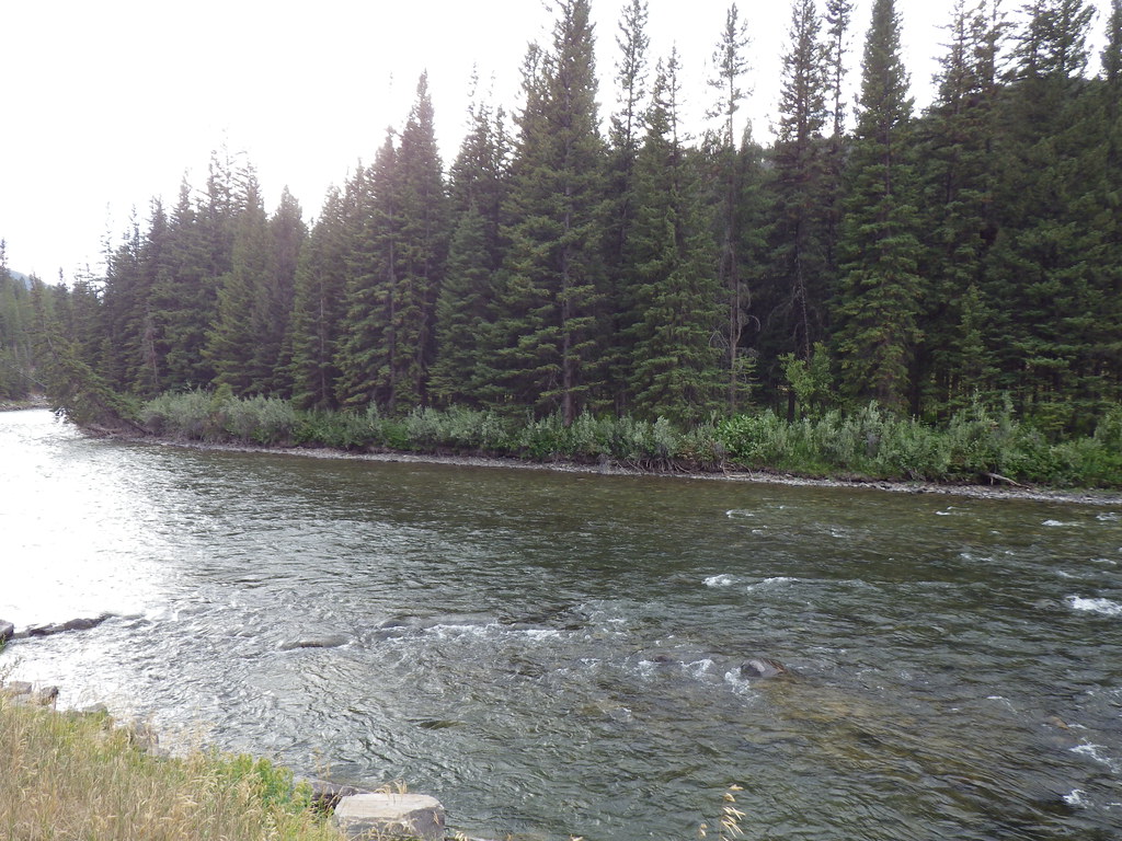 Upper Deer CreekHiking · ~6 min drivePhoto: Matt Lavin, CC BY-SA 2.0 (via Flickr)Gallatin RiverCanoeing · ~7 min drivePhoto: Jim from Lexington, KY, USA, CC BY-SA 2.0 (via Wikimedia Commons)
