Fr2686-02 Mm1.4
Campground
Campground · 0.9 mi from the trail
Closure in the area
There's a closure order in Bozeman Ranger District. It doesn't name Hidden Lakes Trail, so check the source for the area it covers (16 listed).
Sourdough/Bozeman Creek Trailhead and Trail Closure
Agency closure covering Bozeman Ranger District · Order 01-11-06-27-02 · USFS · Bozeman Ranger District
NFSR #1700 South Plateau Road Closure
Agency closure covering Custer Gallatin National Forest · USFS · Custer Gallatin National Forest
Storm Castle Creek Trail #185 Temporarily Closed Due to Storm Damage
Agency closure covering Bozeman Ranger District · Order 01-11-06-26-07 · USFS · Bozeman Ranger District
Hyalite Porcupine Buffalo Horn Summer Interim Travel Order and Map and Order # 01-11-00-26-02
Agency closure covering Custer Gallatin National Forest · Order 01-11-00-26-02 · USFS · Custer Gallatin National Forest
Hyalite Porcupine Buffalo Horn Winter Interim Travel Order and Map Order Number: #01-11-00-26-01
Agency closure covering Custer Gallatin National Forest · USFS · Custer Gallatin National Forest
As of · Source: USFS · Bozeman Ranger District. Agencies don't list every closure — check before you go.
Hidden Lakes Trail is a mountain biking route in the Bozeman Ranger District of Custer Gallatin National Forest in Montana, managed by the Forest Service. The trail is about 2 miles long and rated easy, with a one-way climb of 625 feet. The full out-and-back trip covers about 4.3 miles and gains about 980 feet, with the steepest stretch at roughly 0.5 miles in, where the grade reaches about 22%. The trail starts at a low point of about 8,169 feet and climbs to a high point of about 8,793 feet. The climb is front-loaded, so the most significant ascent happens early on the route. The Hidden Lakes hike lies about half a mile away, and Hidden Lakes Road is about 0.9 miles off. Climbers can find Uzumaki Boulder and District One about 1.4 miles away. Windy Pass Cabin, about 2.7 miles out, offers a place to stay.
Fr2686-02 Mm1.4
Campground
Places © OpenStreetMap contributors
More in Emigrant Gallatin RiverCanoeingPhoto: Jim from Lexington, KY, USA, CC BY-SA 2.0 (via Wikimedia Commons)2.3 mi
 Windy Pass CabinCampingPhoto: Recreation.gov (RIDB) / public domain2.7 mi
Source: Roamze catalog (indexable pages within 10 miles, PostGIS distance)
Also worth it near here
Gallatin RiverCanoeing · ~4 min drivePhoto: Jim from Lexington, KY, USA, CC BY-SA 2.0 (via Wikimedia Commons)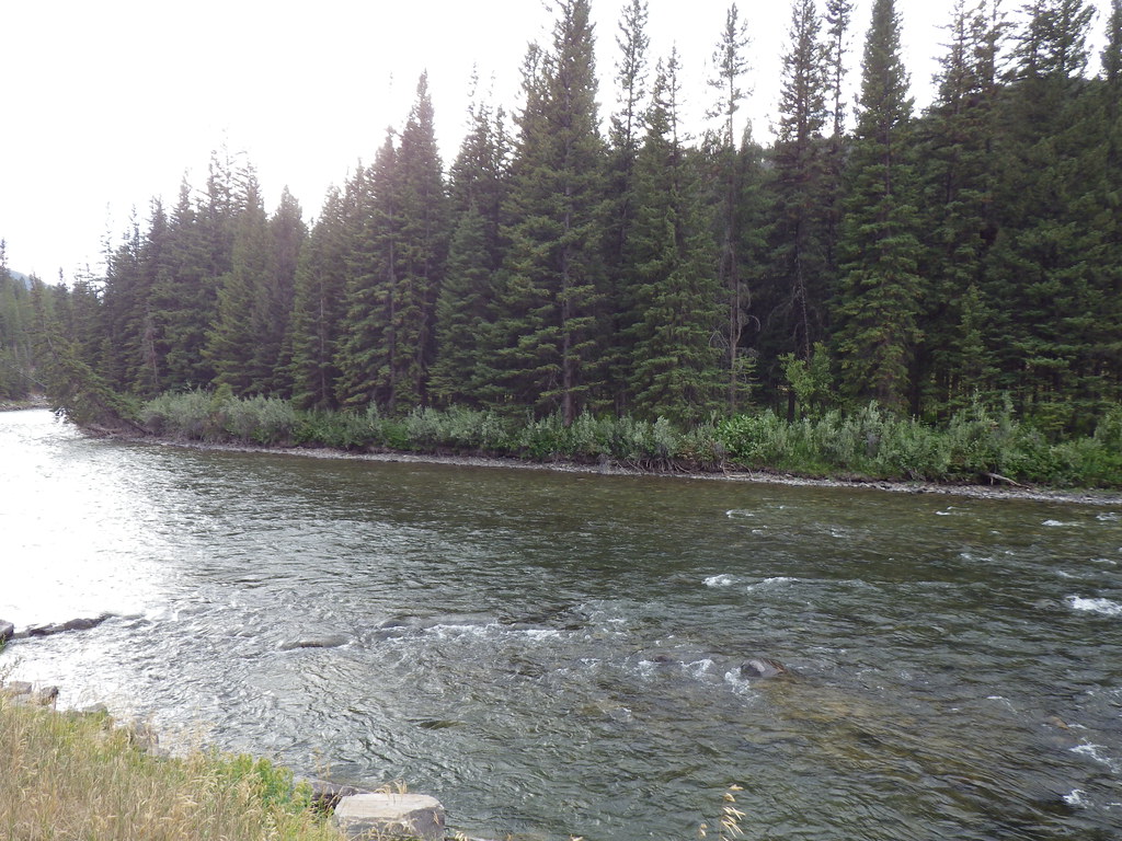 Upper Deer CreekHiking · ~5 min drivePhoto: Matt Lavin, CC BY-SA 2.0 (via Flickr)
Map and trail data © OpenStreetMap contributors
