Fr2686-02 Mm1.4
Campground
Campground · 1.4 mi from the trail
Caution today
Agency alerts are in effect for this area; weather is marginal · USFS, OpenWeather · checked 7 h ago
Closure in the area
There's a closure order in Bozeman Ranger District. It doesn't name HIDDEN LAKES, so check the source for the area it covers (17 listed).
Hyalite Canyon South Road Closure Order
Agency closure covering Bozeman Ranger District · Order 01-11-06-27-04 · USFS · Bozeman Ranger District
Sourdough/Bozeman Creek Trailhead and Trail Closure
Agency closure covering Bozeman Ranger District · Order 01-11-06-27-02 · USFS · Bozeman Ranger District
NFSR #1700 South Plateau Road Closure
Agency closure covering Custer Gallatin National Forest · USFS · Custer Gallatin National Forest
Storm Castle Creek Trail #185 Temporarily Closed Due to Storm Damage
Agency closure covering Bozeman Ranger District · Order 01-11-06-26-07 · USFS · Bozeman Ranger District
Hyalite Porcupine Buffalo Horn Summer Interim Travel Order and Map and Order # 01-11-00-26-02
Agency closure covering Custer Gallatin National Forest · Order 01-11-00-26-02 · USFS · Custer Gallatin National Forest
As of · Source: USFS · Bozeman Ranger District. Agencies don't list every closure — check before you go.
Hidden Lakes is a 3.82-mile out-and-back trail in Montana with 1,059 feet of elevation gain and loss. The trail reaches a maximum elevation of 9,044 feet.
Fr2686-02 Mm1.4
Campground
Caliber Cafe and Spirits
Restaurant
Places © Overture Maps Foundation
More in EmigrantNot on Roamze yet. Their page has how to reach them.
 Windy Pass CabinCampingPhoto: Recreation.gov (RIDB) / public domain2.6 mi
 Gallatin RiverCanoeingPhoto: Jim from Lexington, KY, USA, CC BY-SA 2.0 (via Wikimedia Commons)2.7 mi
Source: Roamze catalog (indexable pages within 10 miles, PostGIS distance)
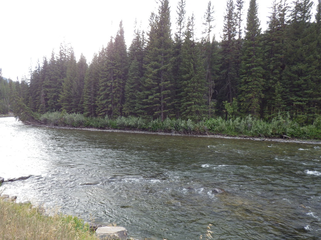 Upper Deer CreekHiking · ~6 min drivePhoto: Matt Lavin, CC BY-SA 2.0 (via Flickr)
 Reflector TrailHiking · ~12 min drivePhoto: Matt Lavin, CC BY-SA 2.0 (via Flickr)Deer CreekHiking · ~6 min drivePhoto: Matt Lavin, CC BY-SA 2.0 (via Flickr)
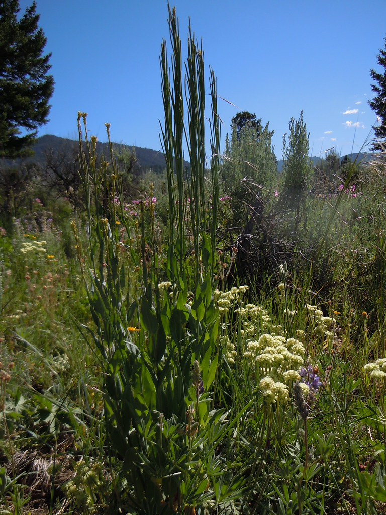 FIRST CREEK CUTOFFHiking · ~9 min drivePhoto: Matt Lavin, CC BY-SA 2.0 (via Flickr)Crail Ranch TrailHiking · ~12 min drivePhoto: Matt Lavin, CC BY-SA 2.0 (via Flickr)
