Fr984-08 Mm3.5
Campground
Campground · 2.5 mi from the trail
Closure in the area
There's a closure order in Bozeman Ranger District. It doesn't name Blunted Boulder, The, so check the source for the area it covers (17 listed).
Hyalite Canyon South Road Closure Order
Agency closure covering Bozeman Ranger District · Order 01-11-06-27-04 · USFS · Bozeman Ranger District
Sourdough/Bozeman Creek Trailhead and Trail Closure
Agency closure covering Bozeman Ranger District · Order 01-11-06-27-02 · USFS · Bozeman Ranger District
NFSR #1700 South Plateau Road Closure
Agency closure covering Custer Gallatin National Forest · USFS · Custer Gallatin National Forest
Storm Castle Creek Trail #185 Temporarily Closed Due to Storm Damage
Agency closure covering Bozeman Ranger District · Order 01-11-06-26-07 · USFS · Bozeman Ranger District
Hyalite Porcupine Buffalo Horn Summer Interim Travel Order and Map and Order # 01-11-00-26-02
Agency closure covering Custer Gallatin National Forest · Order 01-11-00-26-02 · USFS · Custer Gallatin National Forest
As of · Source: USFS · Bozeman Ranger District. Agencies don't list every closure — check before you go.
The Blunted Boulder is a bouldering area in the Bozeman Ranger District of Custer Gallatin National Forest in Montana, managed by the Forest Service. It sits among several other climbing spots in the district, with District Three (The Drainage) and The Outer Limits Boulder each about 0.1 mile away. The area holds five bouldering routes, all rated between V0-1 and V1+. The easiest is Endless Options at V0-1, and the hardest is Duderino at V1+. The routes were climbed by a mix of climbers, with K. Redberg and K Redberg (the name appears in two forms) listed as first ascents on several, including Goof Troop and The Blunted Gummy Bear. The Blunted Boulder pairs easily with other outings. District Three and The Outer Limits Boulder are right next door. HIDDEN LAKES is about 1.2 miles away for a hike, and the Hidden Lakes Trail for mountain biking is about 1.6 miles off.
Fr984-08 Mm3.5
Campground
Places © Overture Maps Foundation
More in Emigrant Gallatin RiverCanoeingPhoto: Jim from Lexington, KY, USA, CC BY-SA 2.0 (via Wikimedia Commons)3.9 mi
Source: Roamze catalog (indexable pages within 10 miles, PostGIS distance)
 Big Sky AreaRock climbing · ~15 min drivePhoto: Peter Fisher-Duke (z…, CC BY-SA 3.0 (via Wikimedia Commons)
Also worth it near here
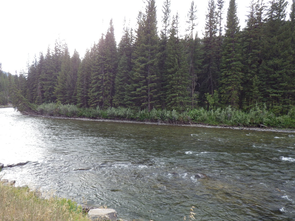 Upper Deer CreekHiking · ~6 min drivePhoto: Matt Lavin, CC BY-SA 2.0 (via Flickr)Gallatin RiverCanoeing · ~7 min drivePhoto: Jim from Lexington, KY, USA, CC BY-SA 2.0 (via Wikimedia Commons)
