Big Creek/McCalla Ridge
- 13 routes
- 5.9 – 5.12-
- Sport · Trad
- May–Oct
- best months
Blocked at last check
Weather is adverse; agency alerts are in effect for this area · USFS, OpenWeather · checked 16 h ago
Is Big Creek/McCalla Ridge open right now?
Alert in the area
The Forest Service lists 2 alerts for Bitterroot National Forest.
Pile burning on West Fork Ranger, Darby-Sula & Stevi Nov. 16 to 19
Agency alert covering Bitterroot National Forest · USFS · Bitterroot National Forest
Two Prescribed Burns Planned for the week of Oct. 5 - Piquett Creek & Cameron Gap
Agency alert covering Bitterroot National Forest · USFS · Bitterroot National Forest
As of · Source: USFS · Bitterroot National Forest. Agencies don't list every closure — check before you go.
Big Creek/McCalla Ridge is a climbing area in Montana's Bitterroot National Forest, within the Stevensville Ranger District. The Forest Service manages the land, and the area sits in the rugged backcountry of western Montana, where climbers can find sport and trad routes on the same crags. The climbing here runs from about 5.9 to 5.12-, with sport routes making up most of the 13 routes listed. The easiest is GB Packers Crack, a trad route at 5.9, and the hardest is Kablamskies!, a sport route at 5.12-. Typical grades for the area fall in the 5.10 range, so expect to see a mix of styles at that level. Summer is the most comfortable time to visit. At the Darby weather station, about 30 miles away, typical July highs reach 82°F with lows near 50°F, and the area sits higher than that station, so temperatures on the ridge run cooler. Paddlers can head to Big Creek, just under a mile away, and hikers can reach St. Mary Peak within 2 miles. For more climbing, the Lower Crags and Sweathouse Creek Crags are about 4 miles out.
- Big CreekCanoeing0.9 mi
- St. Mary PeakHiking1.8 mi
- Glen LakeHiking3.4 mi
- Sweathouse CreekHiking3.8 mi
- Lower CragsRock climbing3.9 mi
- Sweathouse Creek CragsRock climbing3.9 mi
- Charles Waters CampgroundCamping7.9 mi
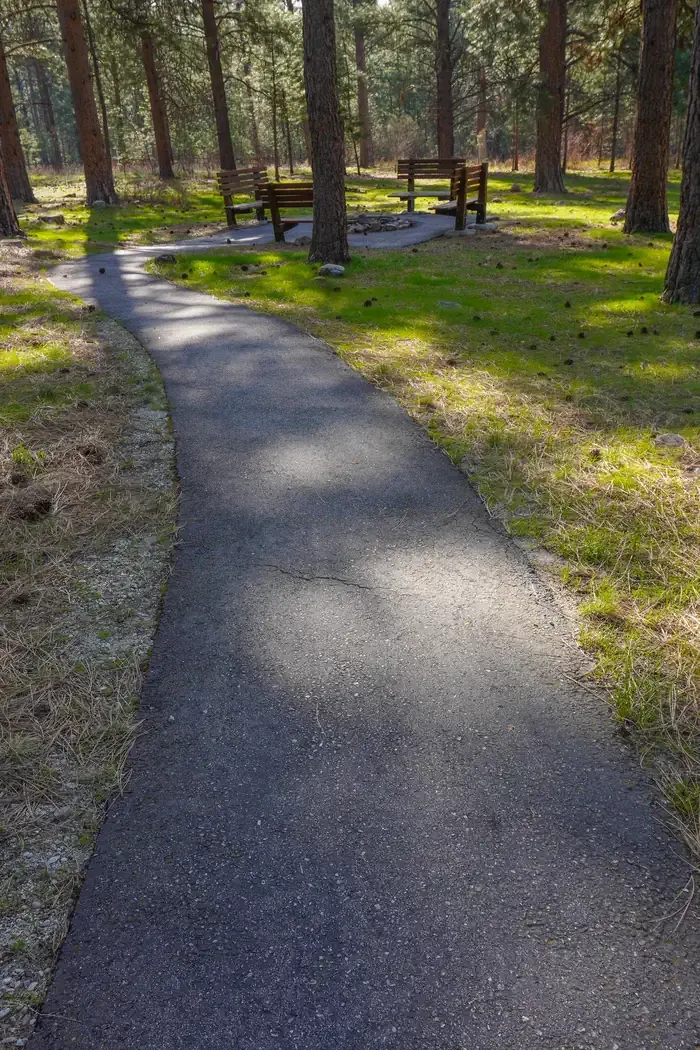 Larry Creek Group CampCampingPhoto: Recreation.gov (RIDB) / public domain8.8 mi
Source: Roamze catalog (indexable pages within 10 miles, PostGIS distance)
 The HeapRock climbing · ~40 min drivePhoto: djembayz, CC0 (via Wikimedia Commons)
- Lower CragsRock climbing · ~7 min drive
- Sweathouse Creek CragsRock climbing · ~7 min drive
- Outermost LimitsRock climbing · ~9 min drive
- Second ButtressRock climbing · ~9 min drive
- First ButtressRock climbing · ~9 min drive
- Kootenai CanyonRock climbing · ~9 min drive
- Sick BayRock climbing · ~9 min drive
- Bass CreekRock climbing · ~14 min drive
- Tick FarmRock climbing · ~19 min drive
Best time to visit Big Creek/McCalla Ridge
Best months: May–October. Best months have typical highs of 55–85 °F, lows of 30 °F or warmer (32 °F where the station doesn't record snow), at most one snowy day and no more than 12 wet days.
Jan
34° / 19°
8 wet
Feb
38° / 21°
6 wet
Mar
47° / 27°
7 wet
Apr
54° / 31°
7 wet
May
64° / 39°
9 wet
Jun
72° / 45°
9 wet
Jul
82° / 50°
6 wet
Aug
81° / 48°
6 wet
Sep
71° / 42°
6 wet
Oct
57° / 33°
8 wet
Nov
42° / 25°
8 wet
Dec
32° / 19°
8 wet
Typical high / low (°F) and days with rain or snow, 1991–2020. Measured at Darby, MT, 30.6 mi away at 3,880 ft. The station sits about 1,500 ft lower than this place, so expect it a little cooler here. This station doesn't record snowfall. Source: NOAA NCEI U.S. Climate Normals 1991–2020.

