Big Creek
- 27.7 mi
- round trip
- 2,572 ft
- climb
- 7,211 ft
- high point
- Out and back
- route
Caution at last check
Agency alerts are in effect for this area; weather is marginal · USFS, OpenWeather · checked 20 h ago
Is Big Creek open right now?
Alert in the area
The Forest Service lists 2 alerts for Bitterroot National Forest.
Pile burning on West Fork Ranger, Darby-Sula & Stevi Nov. 16 to 19
Agency alert covering Bitterroot National Forest · USFS · Bitterroot National Forest
Two Prescribed Burns Planned for the week of Oct. 5 - Piquett Creek & Cameron Gap
Agency alert covering Bitterroot National Forest · USFS · Bitterroot National Forest
As of · Source: USFS · Bitterroot National Forest. Agencies don't list every closure — check before you go.
Big Creek is a hard, out-and-back hike in Montana's Bitterroot National Forest, within the Stevensville Ranger District. It covers about 28 miles, with an elevation gain of about 2,600 feet, taking you from a low point of about 3,955 feet to a high point of about 7,211 feet. The Forest Service manages the land, and the trailhead and picnic area are at Big Creek. The route is a long climb, so plan for a full day or more. The trail surface is natural. Nearby, the Big Creek/McCalla Ridge climbing area sits about 1.7 miles away, and the Glen Lake and St. Mary Peak hikes are within about 3 miles. For camping, Charles Waters Campground is about 8.6 miles off.
Local outfitters
- Granite Peak RV Resort34 mi away
Not on Roamze yet. Their page has how to reach them.
- Big Creek/McCalla RidgeRock climbing1.7 mi
- Glen LakeHiking2.4 mi
- St. Mary PeakHiking2.7 mi
- Sweathouse Creek CragsRock climbing3.2 mi
- Lower CragsRock climbing3.3 mi
- Sweathouse CreekHiking3.7 mi
- Charles Waters CampgroundCamping8.6 mi
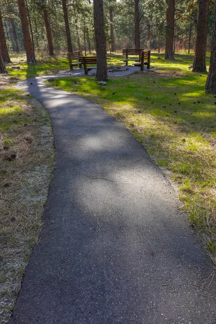 Larry Creek Group CampCampingPhoto: Recreation.gov (RIDB) / public domain9.6 mi
Source: Roamze catalog (indexable pages within 10 miles, PostGIS distance)
- St. Mary PeakHiking · ~5 min drive
- Sweathouse CreekHiking · ~6 min drive
- Ecology TrailHiking · ~16 min drive
- SPRUCE CREEK LAKEHiking · ~19 min drive
- South Fork Big CreekHiking · ~9 min drive
- Bear Creek OverlookHiking · ~9 min drive
- Sweeney ViewpontHiking · ~18 min drive
- Rudd-Moore LakesHiking · ~20 min drive
- Kootenai CreekHiking · ~9 min drive
- Big Creek DivideHiking · ~11 min drive

