Big Creek
- 13.9 mi
- distance
- 5,228 ft
- high point
- Apr–Jun, Aug–Oct
- best months
Caution today
Agency alerts are in effect for this area; weather is good · USFS, OpenWeather · checked 11 h ago
Is Big Creek open right now?
Alert in the area
The Forest Service lists 2 alerts for Bitterroot National Forest.
Pile burning on West Fork Ranger, Darby-Sula & Stevi Nov. 16 to 19
Agency alert covering Bitterroot National Forest · USFS · Bitterroot National Forest
Two Prescribed Burns Planned for the week of Oct. 5 - Piquett Creek & Cameron Gap
Agency alert covering Bitterroot National Forest · USFS · Bitterroot National Forest
As of · Source: USFS · Bitterroot National Forest. Agencies don't list every closure — check before you go.
Big Creek is a 14-mile paddling stretch near Victor, Montana. It is intermittent and may run dry in some seasons. USGS models an average flow of about 2,004 cfs and a gradient of about 137.6 feet per mile. Land along it is managed by the U.S. Forest Service.
Local outfitters
- Granite Peak RV Resort34 mi away
Not on Roamze yet. Their page has how to reach them.
- Big Creek/McCalla RidgeRock climbing0.9 mi
- St. Mary PeakHiking2.1 mi
- Glen LakeHiking2.8 mi
- Sweathouse Creek CragsRock climbing3.5 mi
- Lower CragsRock climbing3.5 mi
- Sweathouse CreekHiking3.7 mi
- Charles Waters CampgroundCamping8.2 mi
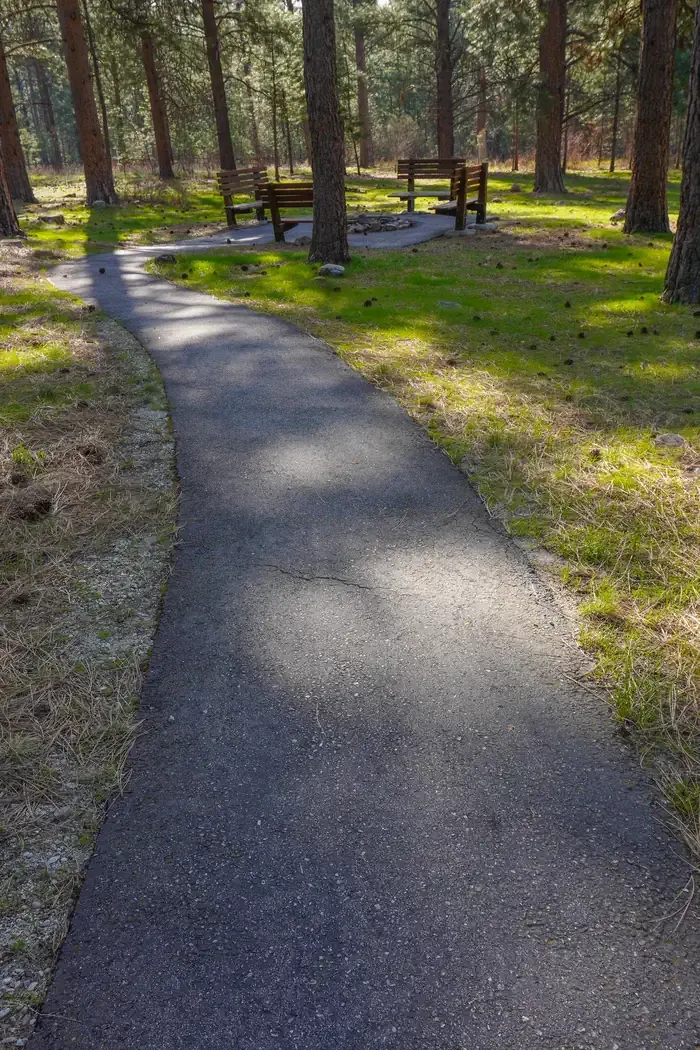 Larry Creek Group CampCampingPhoto: Recreation.gov (RIDB) / public domain9.2 mi
Source: Roamze catalog (indexable pages within 10 miles, PostGIS distance)
- Colt Killed CreekCanoeing · ~23 min drive
- South Lake Como Boat LaunchBoat launch · ~48 min drive
- Spring GulchFloat trip · ~1h 14m drive
- Big Sand CreekCanoeing · ~31 min drive
- Haley Chute Boat LaunchBoat launch · ~1h 7m drive
- RomboFloat trip · ~1h 24m drive
- Lolo CreekCanoeing · ~35 min drive
- Ralph's TakeoutBoat launch · ~1h 15m drive
- Crooked ForkCanoeing · ~39 min drive
- Whitaker Bridge Day UseBoat launch · ~1h 15m drive
Best time to visit Big Creek
Best months: April–June and August–October. Best months have typical highs of 55–85 °F, lows of 30 °F or warmer (32 °F where the station doesn't record snow), at most one snowy day and no more than 12 wet days.
Jan
36° / 19°
10 wet
Feb
41° / 21°
10 wet
Mar
49° / 26°
11 wet
Apr
57° / 32°
10 wet
May
67° / 39°
11 wet
Jun
75° / 45°
10 wet
Jul
86° / 50°
7 wet
Aug
84° / 48°
6 wet
Sep
73° / 41°
7 wet
Oct
58° / 32°
9 wet
Nov
43° / 24°
10 wet
Dec
35° / 18°
11 wet
Typical high / low (°F) and days with rain or snow, 1991–2020. Measured at Western Ag Rsch Ctr, MT, 11.7 mi away at 3,608 ft. The station sits about 1,600 ft lower than this place, so expect it a little cooler here. This station doesn't record snowfall. Source: NOAA NCEI U.S. Climate Normals 1991–2020.
