South Fork Sixteenmile Creek
- 12.2 mi
- distance
- 5,960 ft
- high point
- May–Sep
- best months
Clear at last check
Weather is good · OpenWeather · checked 22 h ago
South Fork Sixteenmile Creek is a 12-mile paddling stretch near Belgrade, Montana, about 6.8 miles from the town of Francis. The creek flows year-round, and USGS models an average flow of about 33 cubic feet per second with a gradient of about 107.7 feet per mile. Summer is the most comfortable time to paddle. Typical averages from a nearby weather station show July and August highs around 79°F with lows in the mid-40s, while winter highs stay near freezing. Several hikes sit close by, including Quaw Creek about a mile away and Miller Gulch and Hatfield Mountain within about 2.3 miles. Middle Fork Sixteenmile Creek, another paddling route, is about 4.2 miles off.
- Quaw CreekHiking1 mi
- Miller GulchHiking2.1 mi
- Hatfield MountainHiking2.3 mi
- Horsethief MountainHiking2.5 mi
- South Fork SixteenmileHiking3.3 mi
- Haw Gulch RoadMountain biking4.1 mi
- Middle Fork Sixteenmile CreekCanoeing4.2 mi
- Ainger LakeRock climbing9.6 mi
Source: Roamze catalog (indexable pages within 10 miles, PostGIS distance)
 Sixteenmile CreekCanoeing · ~17 min drivePhoto: Mike Cline, CC BY-SA 4.0 (via Wikimedia Commons)
- Lower Toston Dam Boat RampBoat launch · ~32 min drive
- Trapper SpringsTubing · ~1h 10m drive
 East Gallatin RiverCanoeing · ~40 min drivePhoto: Mike Cline, Public domain (via Wikimedia Commons)
- Upper Toston Dam Boat RampBoat launch · ~33 min drive
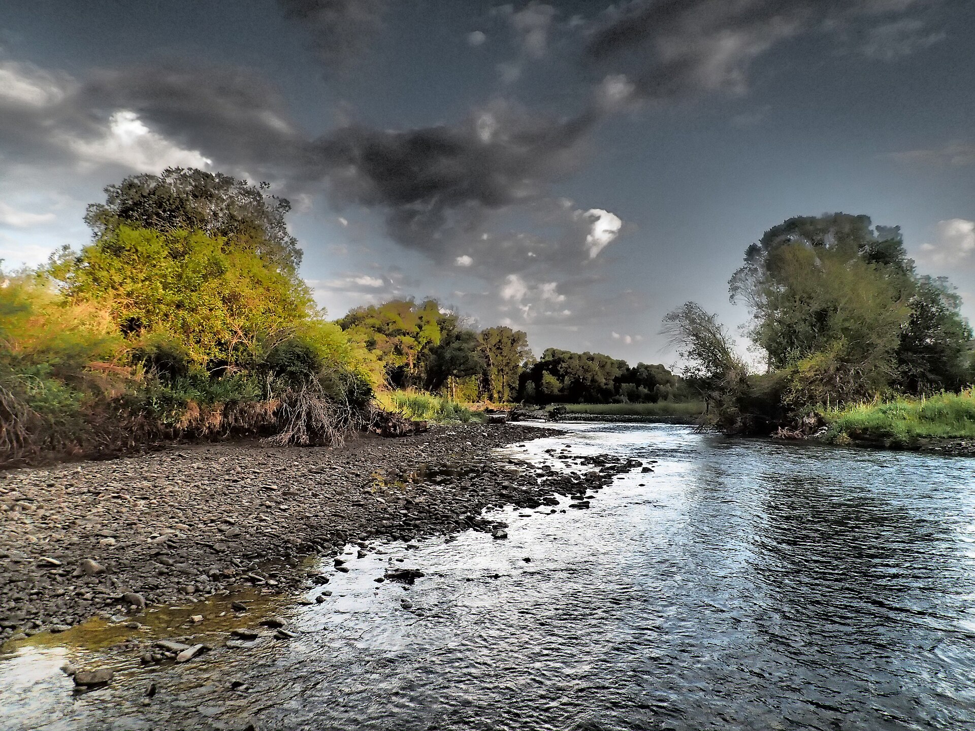 Shields RiverCanoeing · ~41 min drivePhoto: Mike Cline, CC BY-SA 4.0 (via Wikimedia Commons)
- Carter's Bridge Fishing AccessBoat launch · ~1h 6m drive
 Smith RiverCanoeing · ~59 min drivePhoto: Forest Service Northern Region from Missoula, MT, USA, Public domain (via Wikimedia Commons)
- Sappington BridgeBoat launch · ~1h 8m drive
- Middle Fork Sixteenmile CreekCanoeing · ~7 min drive
Best time to visit South Fork Sixteenmile Creek
Best months: May–September. Best months have typical highs of 55–85 °F, lows of 30 °F or warmer (32 °F where the station doesn't record snow), at most one snowy day and no more than 12 wet days.
Jan
33° / 14°
5 wet
Feb
34° / 13°
5 wet
Mar
42° / 20°
7 wet
Apr
49° / 26°
9 wet
May
59° / 34°
11 wet
Jun
68° / 41°
11 wet
Jul
79° / 46°
8 wet
Aug
79° / 44°
6 wet
Sep
68° / 38°
6 wet
Oct
54° / 29°
6 wet
Nov
41° / 20°
6 wet
Dec
32° / 13°
5 wet
Typical high / low (°F) and days with rain or snow, 1991–2020. Measured at Wilsall 8 Ene, MT, 24.7 mi away at 5,865 ft. This station doesn't record snowfall. Source: NOAA NCEI U.S. Climate Normals 1991–2020.

