Middle Fork Sixteenmile Creek
- 15.1 mi
- distance
- 5,744 ft
- high point
- May–Sep
- best months
Middle Fork Sixteenmile Creek is a canoeing route in Montana, about 4.7 miles from the small community of Francis. The waterway is part of the Sixteenmile Creek system, and the South Fork Sixteenmile Creek lies about 4.2 miles away, while the main Sixteenmile Creek is roughly 5.9 miles off. Summer is the most comfortable time to paddle. Typical averages from a nearby weather station run to highs around 79°F in July and August, with lows in the mid-40s, while winter highs stay near freezing. The station sits about 24 miles away, and the creek is at a similar elevation, so expect similar conditions. The surrounding area offers more to do on foot. Hatfield Mountain is about 4 miles away, and Miller Gulch is about 3.8 miles off. Quaw Creek and Horsethief Mountain are a little farther, at about 5.2 and 6.6 miles.
- Miller GulchHiking3.8 mi
- Hatfield MountainHiking4 mi
- South Fork Sixteenmile CreekCanoeing4.2 mi
- Quaw CreekHiking5.2 mi
 Sixteenmile CreekCanoeingPhoto: Mike Cline, CC BY-SA 4.0 (via Wikimedia Commons)5.9 mi
- Horsethief MountainHiking6.6 mi
- South Fork SixteenmileHiking6.7 mi
- Elkhorn RidgeHiking8 mi
Source: Roamze catalog (indexable pages within 10 miles, PostGIS distance)
- Sixteenmile CreekCanoeing · ~10 min drivePhoto: Mike Cline, CC BY-SA 4.0 (via Wikimedia Commons)
- Lower Toston Dam Boat RampBoat launch · ~33 min drive
- Trapper SpringsTubing · ~1h 17m drive
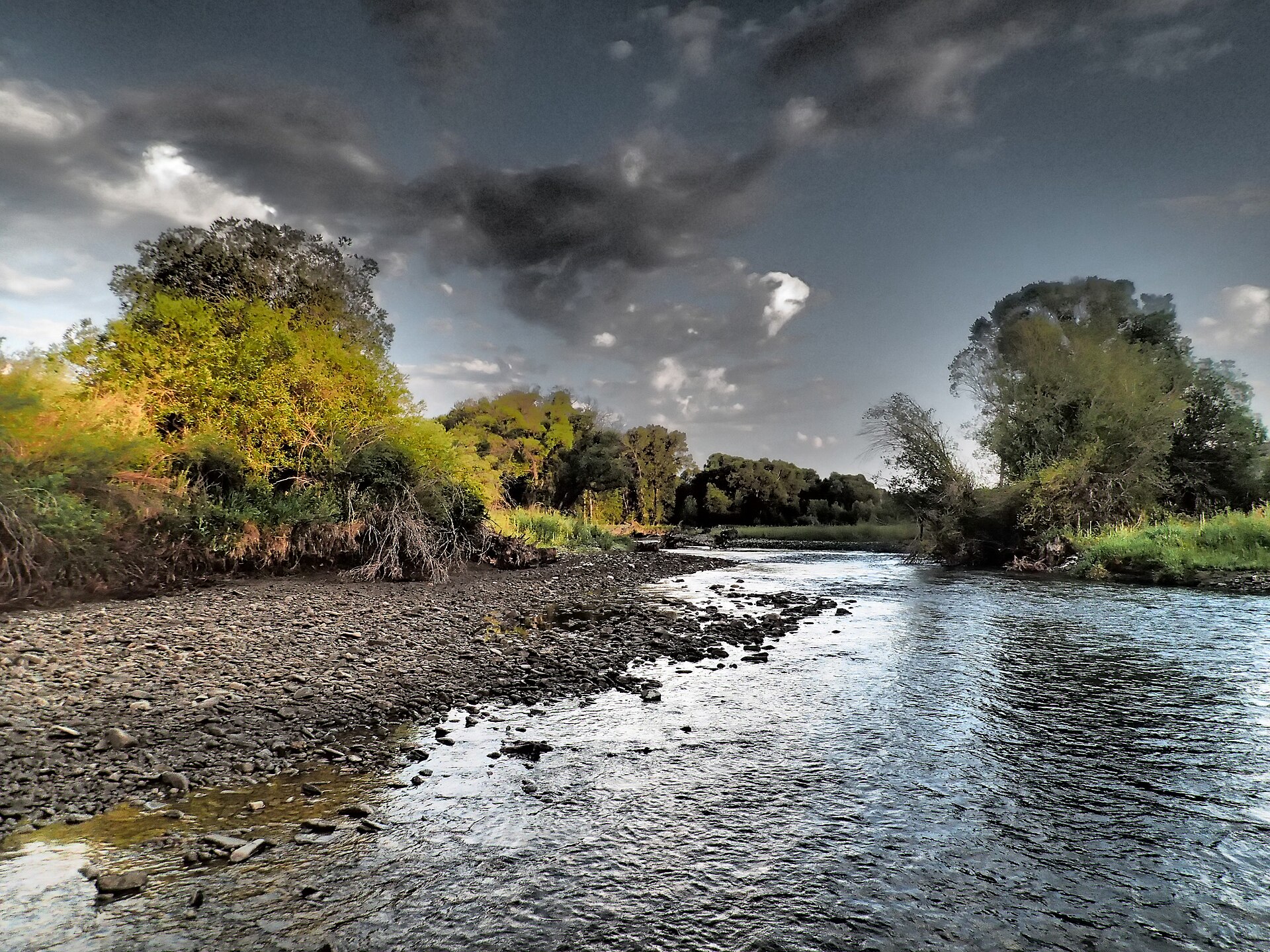 Shields RiverCanoeing · ~38 min drivePhoto: Mike Cline, CC BY-SA 4.0 (via Wikimedia Commons)
- Upper Toston Dam Boat RampBoat launch · ~34 min drive
 East Gallatin RiverCanoeing · ~47 min drivePhoto: Mike Cline, Public domain (via Wikimedia Commons)
- Carter's Bridge Fishing AccessBoat launch · ~1h 11m drive
 Smith RiverCanoeing · ~52 min drivePhoto: Forest Service Northern Region from Missoula, MT, USA, Public domain (via Wikimedia Commons)
- Sappington BridgeBoat launch · ~1h 13m drive
- South Fork Sixteenmile CreekCanoeing · ~7 min drive
Best time to visit Middle Fork Sixteenmile Creek
Best months: May–September. Best months have typical highs of 55–85 °F, lows of 30 °F or warmer (32 °F where the station doesn't record snow), at most one snowy day and no more than 12 wet days.
Jan
33° / 14°
5 wet
Feb
34° / 13°
5 wet
Mar
42° / 20°
7 wet
Apr
49° / 26°
9 wet
May
59° / 34°
11 wet
Jun
68° / 41°
11 wet
Jul
79° / 46°
8 wet
Aug
79° / 44°
6 wet
Sep
68° / 38°
6 wet
Oct
54° / 29°
6 wet
Nov
41° / 20°
6 wet
Dec
32° / 13°
5 wet
Typical high / low (°F) and days with rain or snow, 1991–2020. Measured at Wilsall 8 Ene, MT, 24.4 mi away at 5,865 ft. This station doesn't record snowfall. Source: NOAA NCEI U.S. Climate Normals 1991–2020.

