Lower Toston Dam Boat Ramp
- May–Oct
- best months
Lower Toston Dam Boat Ramp is a boat launch in Montana on Bureau of Land Management land.
- Managed by
- Bureau of Land Management
 Sixteenmile CreekCanoeing · ~37 min drivePhoto: Mike Cline, CC BY-SA 4.0 (via Wikimedia Commons)
- Upper Toston Dam Boat RampBoat launch · Next door
- Trapper SpringsTubing · ~1h 3m drive
 East Gallatin RiverCanoeing · ~56 min drivePhoto: Mike Cline, Public domain (via Wikimedia Commons)
- Sappington BridgeBoat launch · ~48 min drive
 Smith RiverCanoeing · ~1h drivePhoto: Forest Service Northern Region from Missoula, MT, USA, Public domain (via Wikimedia Commons)
- Devils Elbow Boat RampBoat launch · ~1h 16m drive
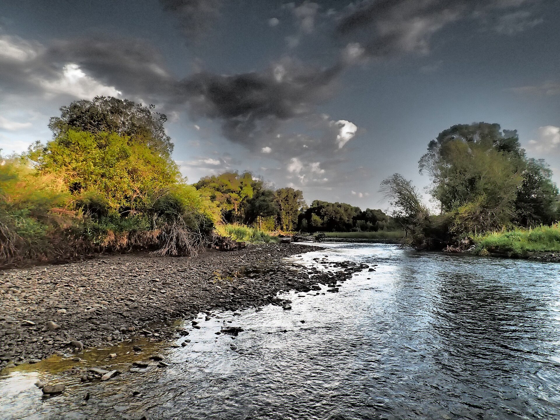 Shields RiverCanoeing · ~1h 11m drivePhoto: Mike Cline, CC BY-SA 4.0 (via Wikimedia Commons)
- York BridgeBoat launch · ~1h 18m drive
- Crow CreekCanoeing · ~25 min drive
Best time to visit Lower Toston Dam Boat Ramp
Best months: May–October. Best months have typical highs of 55–85 °F, lows of 30 °F or warmer (32 °F where the station doesn't record snow), at most one snowy day and no more than 12 wet days.
Jan
34° / 14°
5 wet
Feb
39° / 17°
5 wet
Mar
49° / 24°
6 wet
Apr
58° / 31°
7 wet
May
67° / 39°
11 wet
Jun
74° / 47°
12 wet
Jul
83° / 52°
9 wet
Aug
83° / 50°
7 wet
Sep
73° / 42°
6 wet
Oct
59° / 32°
5 wet
Nov
44° / 22°
5 wet
Dec
34° / 14°
5 wet
Typical high / low (°F) and days with rain or snow, 1991–2020. Measured at Townsend 3se, MT, 12.5 mi away at 3,964 ft. We don't have this place's elevation, so higher spots nearby can run cooler. This station doesn't record snowfall. Source: NOAA NCEI U.S. Climate Normals 1991–2020.
