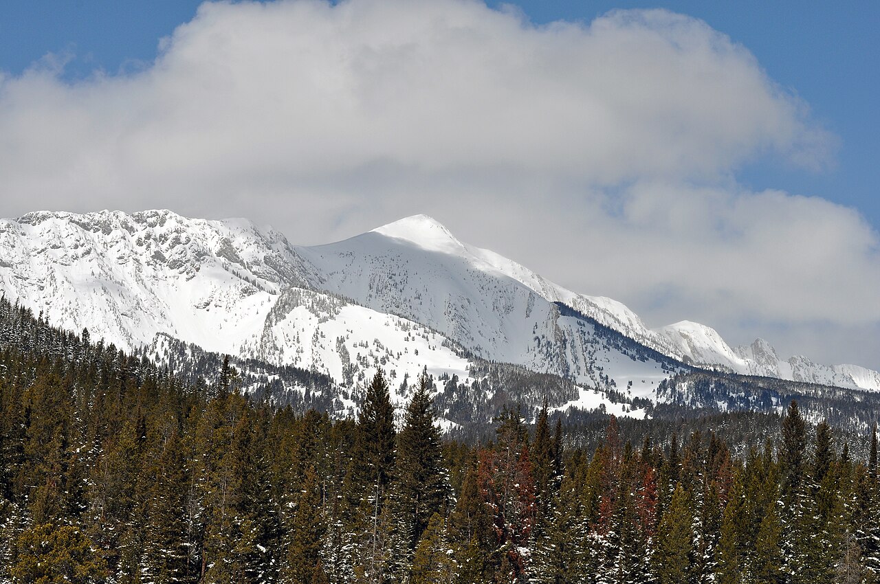
Shafthouse Hill
 Photo: Forest Service - Northern Region, Public Domain Mark (via Flickr)
- 11.5 mi
- round trip
- 3,470 ft
- climb
- 8,314 ft
- high point
- Out and back
- route
Caution at last check
Agency alerts are in effect for this area; weather is good · USFS, OpenWeather · checked 21 h ago
Is Shafthouse Hill open right now?
Closure in the area
There's a closure order in Bozeman Ranger District. It doesn't name Shafthouse Hill, so check the source for the area it covers (16 listed).
Sourdough/Bozeman Creek Trailhead and Trail Closure
Agency closure covering Bozeman Ranger District · Order 01-11-06-27-02 · USFS · Bozeman Ranger District
NFSR #1700 South Plateau Road Closure
Agency closure covering Custer Gallatin National Forest · USFS · Custer Gallatin National Forest
Storm Castle Creek Trail #185 Temporarily Closed Due to Storm Damage
Agency closure covering Bozeman Ranger District · Order 01-11-06-26-07 · USFS · Bozeman Ranger District
Hyalite Porcupine Buffalo Horn Summer Interim Travel Order and Map and Order # 01-11-00-26-02
Agency closure covering Custer Gallatin National Forest · Order 01-11-00-26-02 · USFS · Custer Gallatin National Forest
Hyalite Porcupine Buffalo Horn Winter Interim Travel Order and Map Order Number: #01-11-00-26-01
Agency closure covering Custer Gallatin National Forest · USFS · Custer Gallatin National Forest
As of · Source: USFS · Bozeman Ranger District. Agencies don't list every closure — check before you go.
Shafthouse Hill is a hard hike in the Bozeman Ranger District of Custer Gallatin National Forest in Montana, about 11.5 miles long with a one-way elevation gain of 3,470 feet. The trail is an out-and-back that starts at the South Shafthouse parking area and climbs from a low point of about 6,025 feet to a high point of about 8,314 feet. The route is on natural surface and is open to both horses and bikes, according to the Forest Service's trail records. It is a year-round trip, and the parking is named South Shafthouse. The most comfortable months for a visit are typically June through September, when typical averages from a nearby weather station run from highs in the low 70s to the mid 80s. Winter brings highs in the teens and 20s. Nearby, the South Fork Flathead Creek Trail and the Carrol Creek Trail are each about 1.6 miles away. Ainger Lake, a climbing area, is about 2.1 miles off, and Fairy Lake campground is about 2.5 miles away.
Local outfitters
- Yellowstone Safari Company17 mi away
Not on Roamze yet. Their page has how to reach them.
Keep exploring — more trails worth the drive
 Photo: Matt Lavin, CC BY-SA 2.0 (via Flickr)
North Cottonwood
~10 min drive
22.37-mile out-and-back trail in Montana with 4,024 ft gain
 Photo: Matt Lavin, CC BY-SA 2.0 (via Flickr)
Ross Pass Trail
~11 min drive
4.8-mile out-and-back trail in Montana with 2,228 ft gain/loss.
 Photo: Matt Lavin, CC BY-SA 2.0 (via Flickr)
Meadow Loop (North)
~13 min drive
0.6-mile out-and-back trail in Montana with 90 ft elevation gain.
 Photo: Forest Service - Northern Region, Public Domain Mark (via Flickr)
Fairy Creek Trail
~8 min drive
18.34-mile out-and-back trail in Montana with 4,041 ft elevation gain and loss.
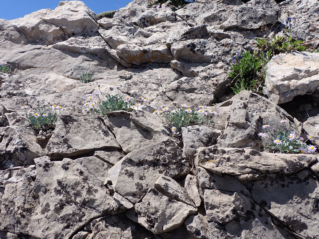 Photo: Matt Lavin, CC BY-SA 2.0 (via Flickr)
East Bridger South
~17 min drive
East Bridger South is an 8.94-mile loop in Montana with 726 ft gain.
 Photo: Matt Lavin, CC BY-SA 2.0 (via Flickr)
South Fork Brackett Creek
~12 min drive
3.32-mile out-and-back trail in Montana with 329 ft elevation gain.
 Photo: Forest Service - Northern Region, Public Domain Mark (via Flickr)
Fairy Lakeshore
~4 min drive
0.53-mile lakeshore loop in Montana with 16 ft elevation gain.
HIKE
Corbly Gulch Trail
~11 min drive
11.14-mile out-and-back trail in Montana with 4,811 ft elevation gain.
HIKE
Upper Bracket Creek Trail
~7 min drive
7.18-mile out-and-back trail in Montana with 3,837 ft elevation gain/loss.
Photo: Matt Lavin, CC BY-SA 2.0 (via Flickr)North Cottonwood Access
~12 min drive
4.12-mile out-and-back trail in Montana with 867 ft gain.