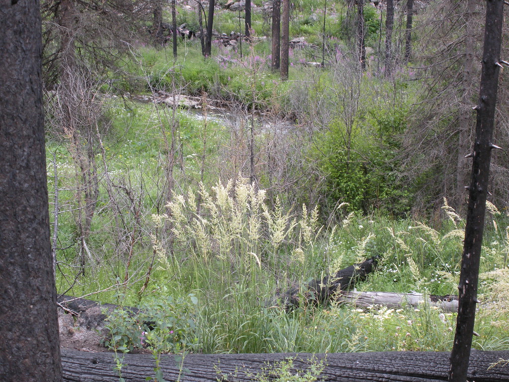
Eastforkmill-01
Campground
Campground · 0.6 mi from the trail
Closure reported
The Forest Service lists a closure that covers Mill Creek.
East Fork of the Mill Creek Trail Bridge Stock Closure
Agency closure covering Yellowstone Ranger District · Order 01-11-04-26-03 · USFS · Yellowstone Ranger District
NFSR #1700 South Plateau Road Closure
Agency closure covering Custer Gallatin National Forest · USFS · Custer Gallatin National Forest
Hyalite Porcupine Buffalo Horn Summer Interim Travel Order and Map and Order # 01-11-00-26-02
Agency closure covering Custer Gallatin National Forest · Order 01-11-00-26-02 · USFS · Custer Gallatin National Forest
Hyalite Porcupine Buffalo Horn Winter Interim Travel Order and Map Order Number: #01-11-00-26-01
Agency closure covering Custer Gallatin National Forest · USFS · Custer Gallatin National Forest
Glacier Lake Road #2421 Closure Order Number: # 01-11-82-26- 01
Agency closure covering Custer Gallatin National Forest · Order 01-11-82-26- · USFS · Custer Gallatin National Forest
As of · Source: USFS · Yellowstone Ranger District. Agencies don't list every closure — check before you go.
Mill Creek is a canoeing route in Montana's Custer Gallatin National Forest, within the Yellowstone Ranger District. The Forest Service manages the land, and the nearest town is Cooke City, about 21 miles away. The surrounding area is a mix of hiking, camping and climbing, with the canyon's high point and trailheads close to the water. Summer is the most comfortable season for paddling. Typical averages from a nearby weather station run to highs around 74°F in July and 62°F in September, with lows near freezing from November through March. That station sits about 34 miles away and is roughly 400 feet lower than the creek. Several trails start within a couple of miles. Highland is half a mile off, and Elbow Lake and Anderson Ridge are both within about a mile and a half. For an overnight base, Mill Creek Cabin is about 1.7 miles away.
Eastforkmill-01
Campground
Parks Reece Gallery
Gallery
Places © OpenStreetMap contributors, Places © Overture Maps Foundation
More in EmigrantNot on Roamze yet. Their page has how to reach them.
Source: Roamze catalog (indexable pages within 10 miles, PostGIS distance)
 Gardner RiverCanoeing · ~48 min drivePhoto: Jo Suderman, Public domain (via Wikimedia Commons)
 Gallatin RiverCanoeing · ~48 min drivePhoto: Jim from Lexington, KY, USA, CC BY-SA 2.0 (via Wikimedia Commons)
 East Gallatin RiverCanoeing · ~1h 4m drivePhoto: Mike Cline, Public domain (via Wikimedia Commons)
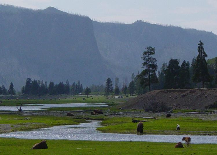 Gibbon RiverCanoeing · ~1h 12m drivePhoto: Daniel Mayer, CC BY-SA 3.0 (via Wikimedia Commons)
 Clarks Fork Yellowstone RiverCanoeing · ~1h 20m drivePhoto: T. A. Jagger, Public domain (via Wikimedia Commons)
Best months: July–August. Best months have typical highs of 55–85 °F, lows of 30 °F or warmer (32 °F where the station doesn't record snow), at most one snowy day and no more than 12 wet days.
Jan
24° / 6°
17 wet
Feb
29° / 7°
13 wet
Mar
37° / 14°
13 wet
Apr
43° / 21°
13 wet
May
54° / 28°
14 wet
Jun
64° / 34°
14 wet
Jul
74° / 39°
11 wet
Aug
71° / 38°
11 wet
Sep
62° / 31°
10 wet
Oct
47° / 24°
11 wet
Nov
31° / 13°
14 wet
Dec
22° / 6°
17 wet
Typical high / low (°F) and days with rain or snow, 1991–2020. Measured at Cooke City 2 W, MT, 34.2 mi away at 7,483 ft. This station doesn't record snowfall. Source: NOAA NCEI U.S. Climate Normals 1991–2020.
East Fork of the Mill Creek Trail Bridge Stock Closure
Yellowstone Ranger District · Order dated September 17, 2027; seen Sep 29, 2026, no lift recorded · Forest Service