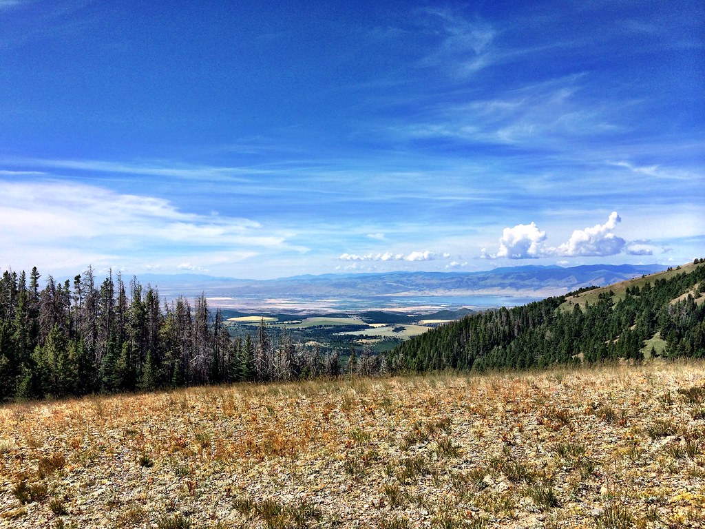
Deep Creek
- 30.4 mi
- distance
- 5,899 ft
- high point
- May–Sep
- best months
Deep Creek is a 30-mile paddling stretch near Townsend, Montana, about 9 miles from the town of Holker. The creek flows year-round, and USGS models an average flow of about 44 cubic feet per second with a gradient of roughly 67.2 feet per mile. That makes it a consistent, steady waterway for paddlers who can plan around the creek's natural pace. Summer is the warmest stretch to paddle. Typical averages from the nearby White Sulphur Springs weather station, which sits about 860 feet lower than the creek, run to highs around 82°F in July, with lows near 48°F. September cools back to typical highs around 71°F. Rillway Cabin, a campground, is about 3.5 miles away, and West Fork Cabin Gulch is a hike about 5.5 miles out. The West Big Belts Gfa - Sulphur Bar Cua campground is about 6.1 miles away. For a longer outing, Edith Lake is a hike roughly 8.7 miles from the creek.
- Rillway CabinCamping3.5 mi
- Middle Fork Cabin GulchHiking4.9 mi
- West Fork Cabin GulchHiking5.5 mi
- West Big Belts Gfa - Sulphur Bar CuaCamping6.1 mi
- Cedar Bar FalknerHiking6.7 mi
 HollowayHikingPhoto: Forest Service - Northern Region, CC BY 2.0 (via Flickr)6.7 mi
- Edith LakeHiking8.7 mi
- Carl CreekHiking9.4 mi
Source: Roamze catalog (indexable pages within 10 miles, PostGIS distance)
 Sixteenmile CreekCanoeing · ~32 min drivePhoto: Mike Cline, CC BY-SA 4.0 (via Wikimedia Commons)
- Lower Toston Dam Boat RampBoat launch · ~25 min drive
 Smith RiverCanoeing · ~37 min drivePhoto: Forest Service Northern Region from Missoula, MT, USA, Public domain (via Wikimedia Commons)
- Upper Toston Dam Boat RampBoat launch · ~25 min drive
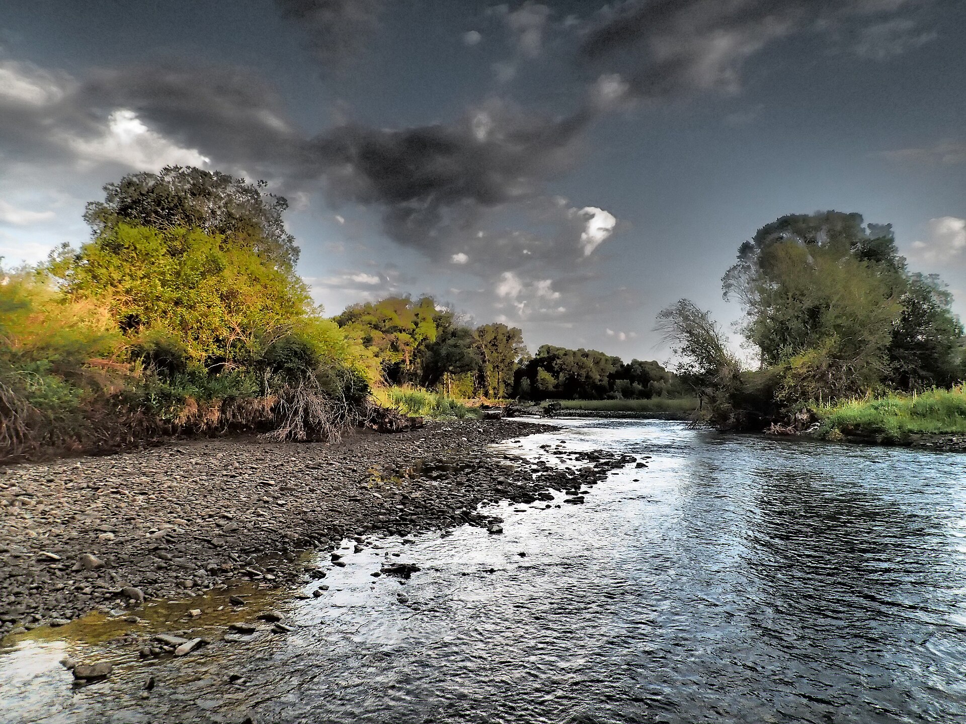 Shields RiverCanoeing · ~1h 8m drivePhoto: Mike Cline, CC BY-SA 4.0 (via Wikimedia Commons)
- Camp Baker AccessBoat launch · ~58 min drive
 East Gallatin RiverCanoeing · ~1h 15m drivePhoto: Mike Cline, Public domain (via Wikimedia Commons)
- Camp Baker AccessBoat launch · ~58 min drive
- Big Birch CreekCanoeing · ~28 min drive
- Devils Elbow Boat RampBoat launch · ~60 min drive
Best time to visit Deep Creek
Best months: May–September. Best months have typical highs of 55–85 °F, lows of 30 °F or warmer (32 °F where the station doesn't record snow), at most one snowy day and no more than 12 wet days.
Jan
33° / 13°
5 wet
Feb
35° / 13°
4 wet
Mar
45° / 21°
6 wet
Apr
53° / 27°
8 wet
May
63° / 35°
11 wet
Jun
71° / 42°
12 wet
Jul
82° / 48°
8 wet
Aug
81° / 47°
7 wet
Sep
71° / 39°
7 wet
Oct
56° / 29°
6 wet
Nov
42° / 20°
5 wet
Dec
33° / 13°
5 wet
Typical high / low (°F) and days with rain or snow, 1991–2020. Measured at White Sulphur Springs #2, MT, 24.8 mi away at 5,040 ft. The station sits about 900 ft lower than this place, so expect it a little cooler here. This station doesn't record snowfall. Source: NOAA NCEI U.S. Climate Normals 1991–2020.