Castle Creek
- 4.6 mi
- distance
- 1,466 ft
- climb
Is Castle Creek open right now?
No closures listed
The Forest Service lists no closures for Helena-Lewis and Clark National Forest.
As of · Source: USFS · Helena-Lewis and Clark National Forest. Agencies don't list every closure — check before you go.
Castle Creek is a mountain biking route in Montana's Helena-Lewis and Clark National Forest, within the Belt Creek-White Sulphur Springs Ranger District. It is managed by the Forest Service, and the ride starts at about 6,385 feet, rising to a high point of 7,717 feet over roughly 4.6 miles. The climb totals 1,466 feet of gain, with the steepest stretch at 0.25 miles in, where the grade reaches 27%. The route also includes about 1,119 feet of descent, making it a mix of climb and roll on the way down. The trail is a short drive from several other destinations. Loco Creek and Forest Lake are both mountain biking options within about a mile and a half, and the Loco Cr/castle Cr. Connector offers a hike nearby. For an overnight base, Forest Lake Campground sits about 1.5 miles away.
- Loco CreekMountain biking1 mi
- Loco Cr/castle Cr. ConnectorHiking1.2 mi
- Lower Eagle Spur RoadMountain biking1.3 mi
- Forest LakeMountain biking1.4 mi
- Forest Lake CgCamping1.5 mi
- Crandall Creek CabinCamping3.8 mi
- Shields RiverCamping3.9 mi
- Cottonwood CreekCanoeing9.6 mi
Source: Roamze catalog (indexable pages within 10 miles, PostGIS distance)
- Loco CreekMountain biking · ~2 min drive
- Lower Eagle Spur RoadMountain biking · ~2 min drive
- FS 647Mountain biking · ~4 min drive
- Forest LakeMountain biking · ~2 min drive
- Loco Mtn TrailMountain biking · ~2 min drive
- FS 9278Mountain biking · ~5 min drive
- Mt. ElmoMountain biking · ~7 min drive
- Middle Eagle RoadMountain biking · ~3 min drive
- Upper Bitter Creak TrailMountain biking · ~7 min drive
- North Fork Elk CreekMountain biking · ~18 min drive
Also worth it near here
- Forest Lake CgCamping · ~3 min drive
 Loco MountainSummit · ~6 min drivePhoto: Mike Cline, CC BY-SA 4.0 (via Wikimedia Commons)
 Lodgepole CreekHiking · ~8 min drivePhoto: Forest Service - Northern Region, Public Domain Mark (via Flickr)
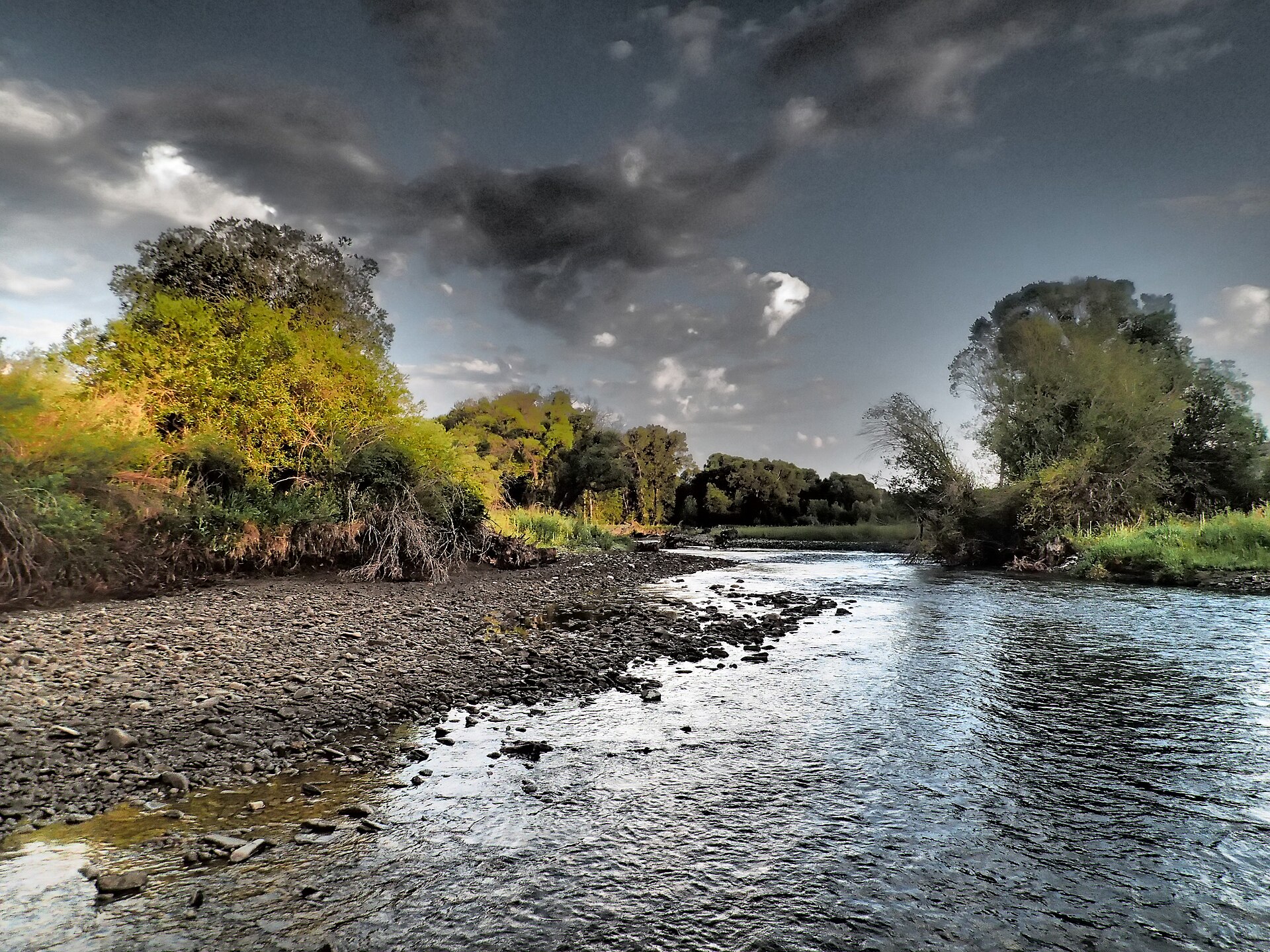 Shields RiverCanoeing · ~16 min drivePhoto: Mike Cline, CC BY-SA 4.0 (via Wikimedia Commons)
Map and trail data © OpenStreetMap contributors
