Fs 9278
- 0.8 mi
- round trip
- 431 ft
- climb
- Singletrack
- surface
- Out and back
- route
- Jun–Sep
- best months
Is FS 9278 open right now?
No closures listed
The Forest Service lists no closures for Helena-Lewis and Clark National Forest.
As of · Source: USFS · Helena-Lewis and Clark National Forest. Agencies don't list every closure — check before you go.
FS 9278 is a short, moderate mountain biking route in the Belt Creek-White Sulphur Springs Ranger District of the Helena-Lewis and Clark National Forest in Montana. The Forest Service manages the land, and the trail is an out-and-back that covers about 1.7 miles with a total elevation gain of 81 feet. The climb is gentle, with the steepest stretch at about 0.22 miles in, where the grade reaches 6 percent. The route starts near 6,010 feet and peaks at 6,031 feet, so the high point is only about 20 feet above the start. That makes it an easy addition to a day spent exploring the surrounding area. Summer is the most comfortable time to ride. Typical averages from a nearby weather station show July and August highs around 77°F with lows in the low 40s, while winter highs stay near freezing. Several other outings sit close by. The Old 634 Off Castle and Castle Creek hikes are each under a mile away, and the Mt Elmo Road mountain biking route is about 1.2 miles off. For an overnight stay, Forest Lake Campground is roughly 2.6 miles away.
- Old 634 Off CastleHiking0.7 mi
- Castle CreekHiking0.9 mi
- Mt Elmo RoadMountain biking1.2 mi
- Spring Creek SouthHiking1.4 mi
- Forest Lake CgCamping2.6 mi
- Crandall Creek CabinCamping6.6 mi
- Shields RiverCamping6.7 mi
- Cottonwood CreekCanoeing7 mi
Source: Roamze catalog (indexable pages within 10 miles, PostGIS distance)
- Mt Elmo RoadMountain biking · ~2 min drive
- FS 647Mountain biking · ~3 min drive
- Castle CreekMountain biking · ~5 min drive
- FS 646Mountain biking · ~2 min drive
- Upper Bitter Creak TrailMountain biking · ~8 min drive
- Loco CreekMountain biking · ~5 min drive
- FS 8926Mountain biking · ~4 min drive
- Honey Run RoadMountain biking · ~8 min drive
- Honey RunMountain biking · ~7 min drive
- Lower Eagle Spur RoadMountain biking · ~6 min drive
Also worth it near here
- Forest Lake CgCamping · ~4 min drive
 Loco MountainSummit · ~10 min drivePhoto: Mike Cline, CC BY-SA 4.0 (via Wikimedia Commons)
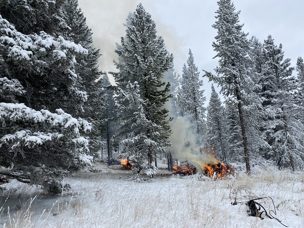 Upper Smith Connector TrailHiking · ~10 min drivePhoto: Forest Service - Northern Region, Public Domain Mark (via Flickr)
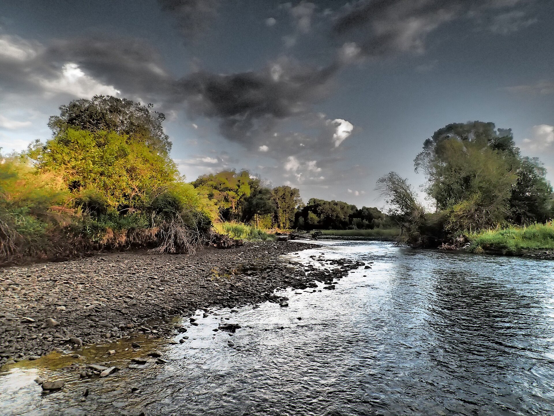 Shields RiverCanoeing · ~19 min drivePhoto: Mike Cline, CC BY-SA 4.0 (via Wikimedia Commons)
Best time to visit FS 9278
Best months: June–September. Best months have typical highs of 55–85 °F, lows of 30 °F or warmer (32 °F where the station doesn't record snow), at most one snowy day and no more than 12 wet days.
Jan
31° / 13°
10 wet
Feb
32° / 12°
9 wet
Mar
40° / 18°
11 wet
Apr
48° / 24°
12 wet
May
58° / 32°
13 wet
Jun
66° / 39°
12 wet
Jul
77° / 43°
9 wet
Aug
77° / 41°
8 wet
Sep
66° / 34°
7 wet
Oct
52° / 27°
9 wet
Nov
38° / 19°
9 wet
Dec
30° / 13°
10 wet
Typical high / low (°F) and days with rain or snow, 1991–2020. Measured at Lennep 5 Sw, MT, 10.3 mi away at 5,600 ft. This station doesn't record snowfall. Source: NOAA NCEI U.S. Climate Normals 1991–2020.
Map and trail data © OpenStreetMap contributors
