Loco Mtn Trail
- 1.8 mi
- round trip
- 874 ft
- climb
- Singletrack
- surface
- Out and back
- route
- May–Sep
- best months
Is Loco Mtn Trail open right now?
No closures listed
The Forest Service lists no closures for Helena-Lewis and Clark National Forest.
As of · Source: USFS · Helena-Lewis and Clark National Forest. Agencies don't list every closure — check before you go.
Loco Mtn Trail is a mountain biking route in the Belt Creek-White Sulphur Springs Ranger District of the Helena-Lewis and Clark National Forest in Montana, managed by the Forest Service. The trail is about 1.76 miles long and rated easy, with a total elevation gain of 874 feet over the out-and-back route. The climb is front-loaded, with the steepest stretch at about 0.56 miles in, where the grade reaches 22%. The trail starts at roughly 6,712 feet and peaks at about 7,406 feet. Summer is the most comfortable time to ride. Typical averages from a nearby weather station show July and August highs around 79°F with lows in the mid-40s, while temperatures on the trail run cooler than those figures. The Loco Mtn hike sits just 0.1 mile away, and Lower Eagle Spur Road is 0.2 mile off. Upper Eagle Road and Middle Eagle Road are both within a mile. For an overnight stay, Forest Lake Campground is about 1.5 miles away.
- Loco MtnHiking0.1 mi
- Lower Eagle Spur RoadMountain biking0.2 mi
- Upper Eagle RoadMountain biking0.6 mi
- Middle Eagle RoadMountain biking0.7 mi
- Forest Lake CgCamping1.5 mi
- Crandall Creek CabinCamping2.8 mi
- Shields RiverCamping2.9 mi
- Porcupine CabinCamping8 mi
Source: Roamze catalog (indexable pages within 10 miles, PostGIS distance)
- Lower Eagle Spur RoadMountain biking · Next door
- Castle CreekMountain biking · ~2 min drive
- FS 647Mountain biking · ~5 min drive
- Upper Eagle RoadMountain biking · ~1 min drive
- Loco CreekMountain biking · ~4 min drive
- Upper Bitter Creak TrailMountain biking · ~6 min drive
- Middle Eagle RoadMountain biking · ~1 min drive
- Mt. ElmoMountain biking · ~6 min drive
- FS 9278Mountain biking · ~7 min drive
- West Lodgepole TrailMountain biking · ~2 min drive
Also worth it near here
- Forest Lake CgCamping · ~3 min drive
 Loco MountainSummit · ~7 min drivePhoto: Mike Cline, CC BY-SA 4.0 (via Wikimedia Commons)
 Lower Smith Connector TrailHiking · ~8 min drivePhoto: Forest Service - Northern Region, Public Domain Mark (via Flickr)
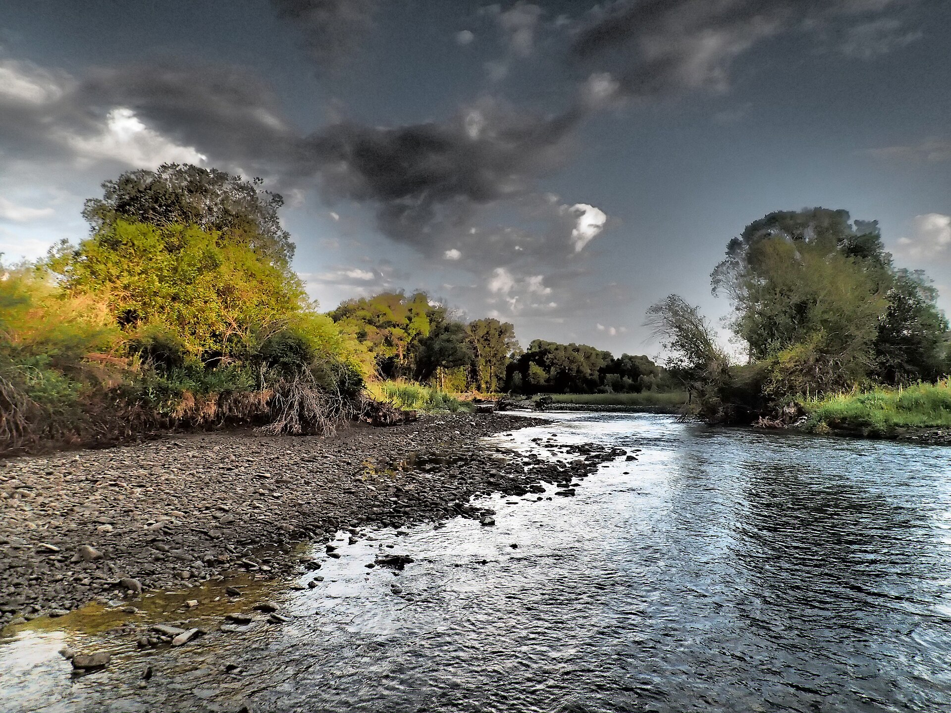 Shields RiverCanoeing · ~14 min drivePhoto: Mike Cline, CC BY-SA 4.0 (via Wikimedia Commons)
Best time to visit Loco Mtn Trail
Best months: May–September. Best months have typical highs of 55–85 °F, lows of 30 °F or warmer (32 °F where the station doesn't record snow), at most one snowy day and no more than 12 wet days.
Jan
33° / 14°
5 wet
Feb
34° / 13°
5 wet
Mar
42° / 20°
7 wet
Apr
49° / 26°
9 wet
May
59° / 34°
11 wet
Jun
68° / 41°
11 wet
Jul
79° / 46°
8 wet
Aug
79° / 44°
6 wet
Sep
68° / 38°
6 wet
Oct
54° / 29°
6 wet
Nov
41° / 20°
6 wet
Dec
32° / 13°
5 wet
Typical high / low (°F) and days with rain or snow, 1991–2020. Measured at Wilsall 8 Ene, MT, 14 mi away at 5,865 ft. The station sits about 1,500 ft lower than this place, so expect it a little cooler here. This station doesn't record snowfall. Source: NOAA NCEI U.S. Climate Normals 1991–2020.
Map and trail data © OpenStreetMap contributors
