Loading…

Free — you'll pick up right here.
Watch this trail
Sign up to watch it — saving subscribes you to gate, closure and report changes.
Montana
8.0 mi
Distance
171 ft
Gain
2h 45m
Time
We won't guess. Here is exactly what we do and don't know.
What we do know
Inside Custer Gallatin National Forest
2 managing-area boundaries mapped — agency alerts for them feed this page automatically.
Boundary data
What's missing
No access route mapped
We don't yet know which road reaches this trailhead, so we can't tell you if it's gated.
Nobody's filed a report here yet — be the first.
Why you'll love it
Windy Ridge
AI-suggested draft · review before you go
No permit or access details on file for this trail — check with the local land manager before you go.
Windy Ridge offers a scenic 8-mile journey through Montana's backcountry with modest elevation gain, making it an accessible option for hikers seeking expansive ridge views and open terrain. The trail's name reflects its exposed ridgeline character, where wind-sculpted landscapes and panoramic vistas reward steady effort. This route is ideal for hikers looking to experience ridge walking without extreme technical demands.
Riverside Ski Trails Trailhead (WK9)
~5 min drive
The Riverside Ski Trail provides several easy options to ski along the Madison River and enjoy views of both the Gallatin and Madison mountain ranges. Boundary Street to loops: 1 mile (1.6 km) Downriver loop, full: 3.5 miles (5.6 km) Downriver loop, short: 2.2 miles (3.5 km) U…

Harlequin Lake Trail
~20 min drive
1.0 mi · Easy

Purple Mountain Trail
~23 min drive
6.7 mi · Moderate
Dead Dog
~1 min drive
Easy 3.68-mile trail with minimal elevation gain near Dead Dog, Montana.
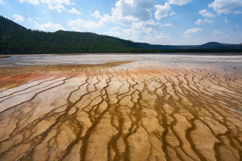
Firehole Canyon Swimming Area
~23 min drive
<p><span style="color:#c03b2b;"><strong>CLOSED FOR THE 2025 SEASON.</strong></span><br /> <br /> The river is usually closed to swimming until mid-summer due to high water and strong currents. During years with significant snowpack and runoff, the swim area may remain closed f…
Jerrys Journey (Xc)
~2 min drive
Easy 1.92-mile cross-country ski trail with minimal elevation gain.
Boundary Trail (Xc)
~6 min drive
Moderate 4.58-mile cross-country backcountry route through Montana wilderness.
Whiskey (Snowmo)
~2 min drive
Moderate 11.22-mile snowmobile trail with gentle elevation gain through Montana backcountry.
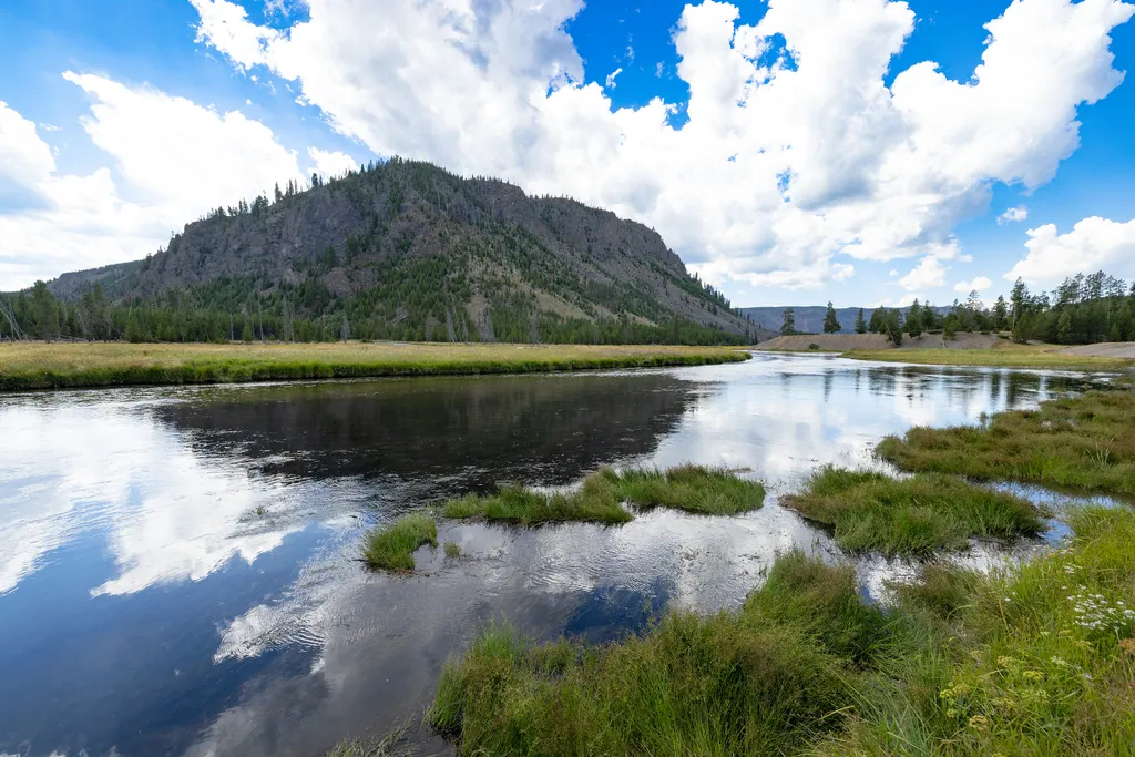
Madison Junction
~23 min drive
<p>At Madison Junction, the Gibbon River joins the Firehole River to form the Madison River.</p> <p>The Gibbon River flows from Grebe Lake through the Norris area to Madison Junction. The Firehole River starts south of Old Faithful and flows through the park’s major hydrotherm…
Volunteer (Xc)
~3 min drive
Easy 2.8-mile cross-country ski trail with minimal elevation gain.